Vromans Nose in Winter

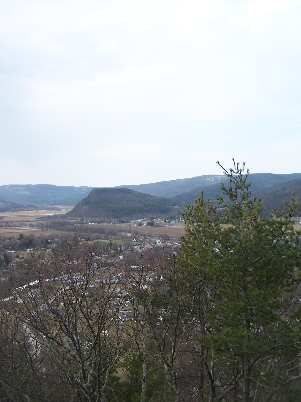
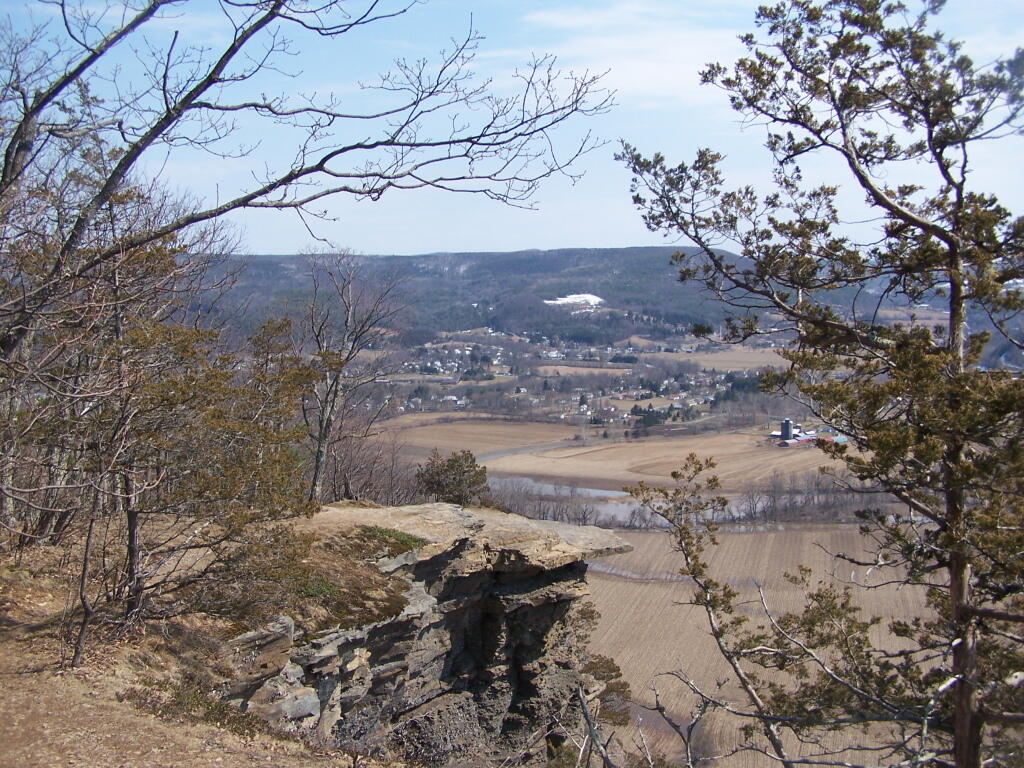
On the second day of spring I went hiking up Vromans Nose. A short little hike, it’s a favorite in Schoharie County for it’s sweeping views of the agricultural lands below. Below is a picture of Vromans Nose, as seen from Middleburgh Cliff.

Vromans Nose

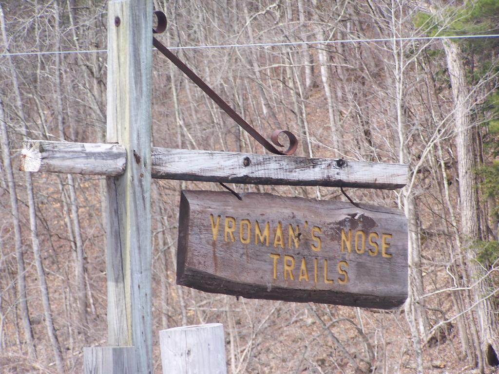
Sign for the trailhead.

Vromans Nose Trails

Hiking up the mountain on a very brown-grey winter day.
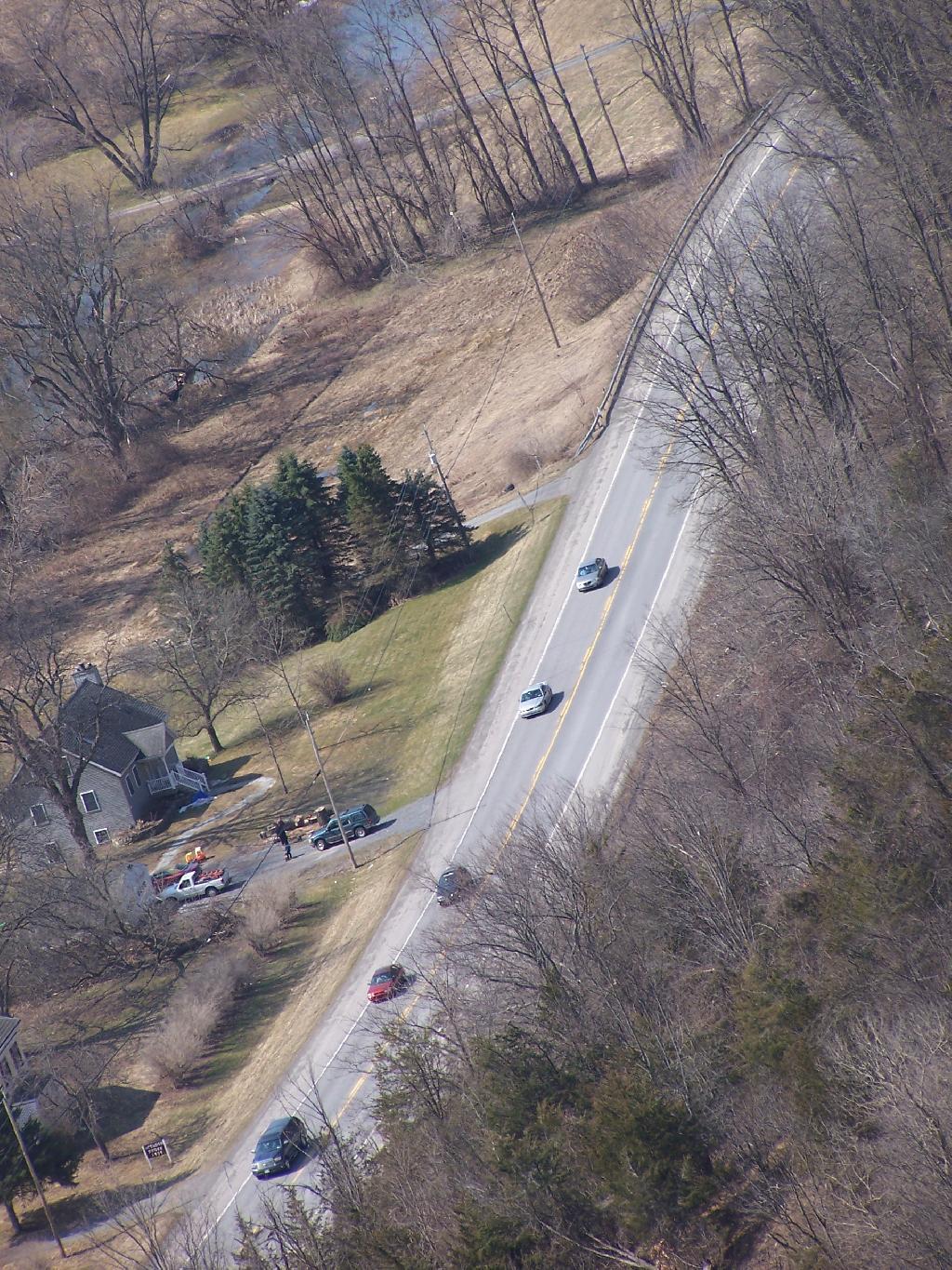
Untitled [Expires May 26 2026]

NY 30.

NY 30

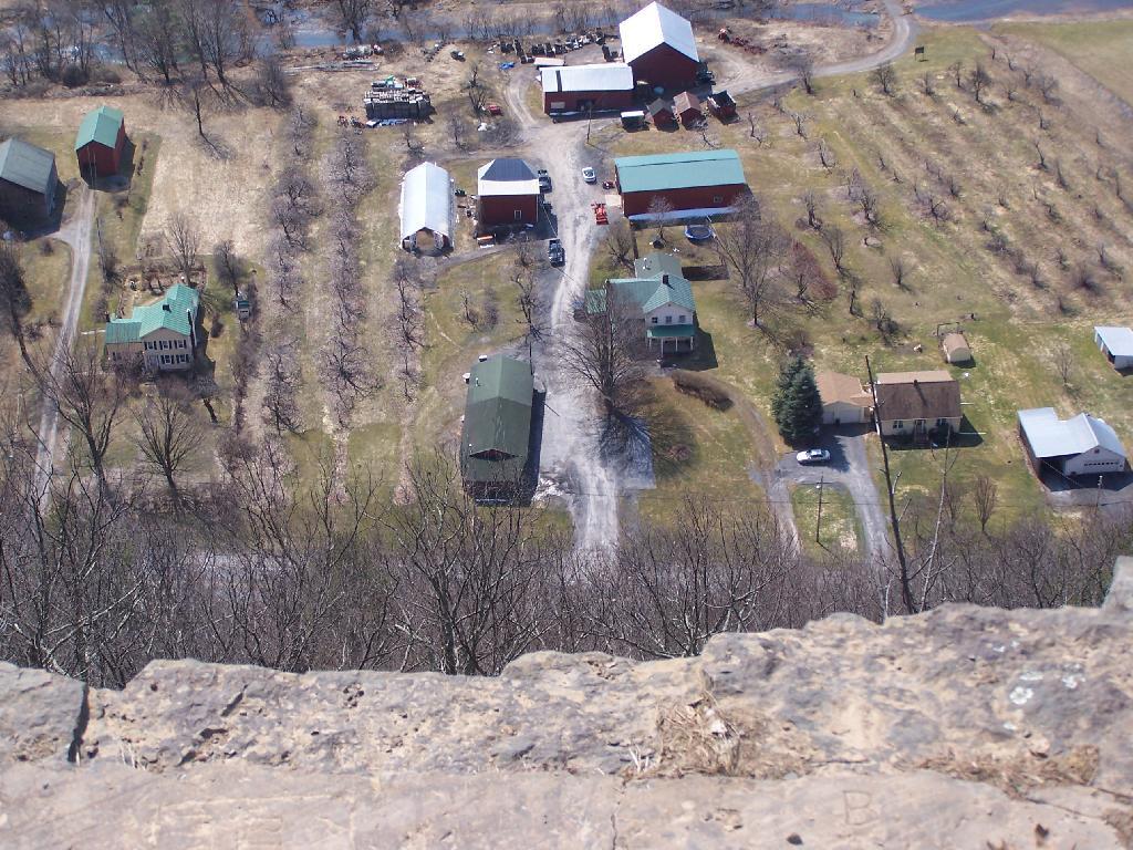
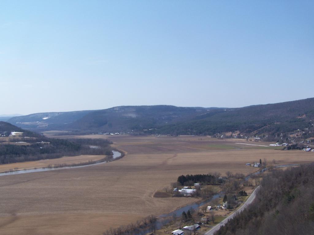
A farm off the edge of Vromans Nose.

Ledge and Farm

West Off Vromans Nose looking towards Towpath Mountain.

Tow Path Mountain

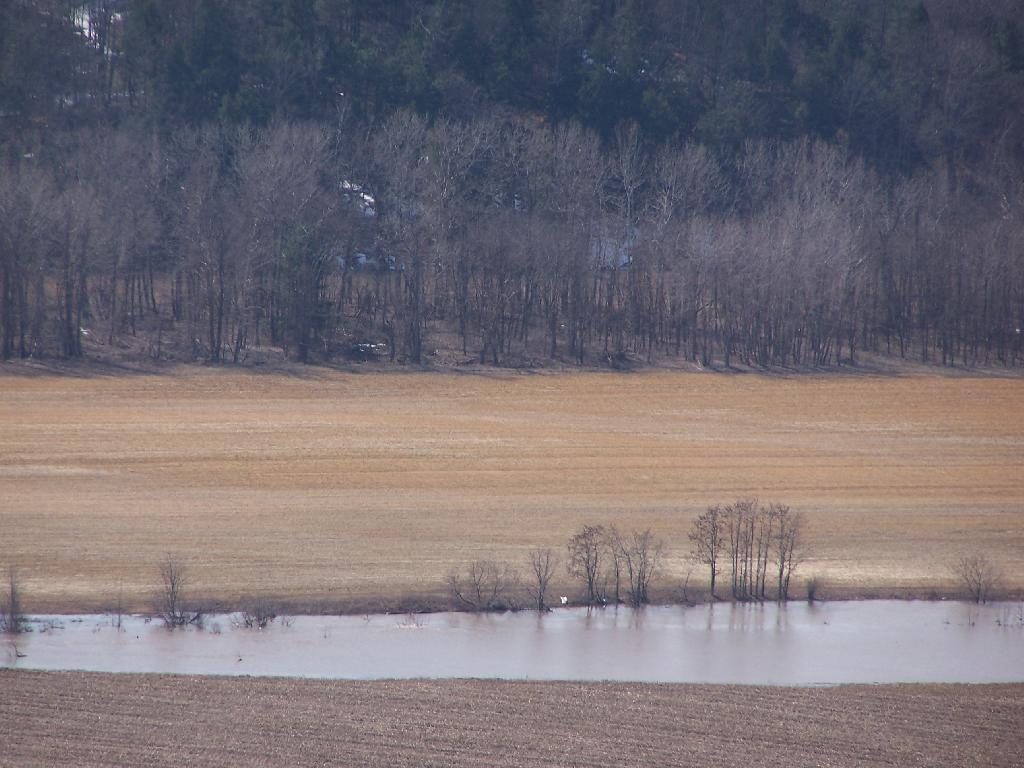
With all of the snow melt, the Schoharie Creek was fairly swollen.

Three Colors

Looking from the Tip of Vromans Nose towards Middleburgh, with Middleburgh Cliff in the background.

North East

Here’s a map of hike.

Map: High Point State Forest
Map: R. Milton Hick Memorial State Forest
Terrain Map: Grand Gorge
Thematic Map: Schoharie County Elevation
Thematic Map: Schoharie County Hills and Hollows
Thematic Map: Schoharie County National Land Cover Dataset 2024
Photo: Gorge Where Flat Creek Runs
Photo: Up NY 10
Photo: Big Red with Big Antenna
Photo: Schoharie Creek
Photo: Junction Road
Photo: Clouds
Photo: Sharon Springs
Photo: Sicklers and Huntersfield Mountains
Photo: Past Cobelskill
Photo: Outside Gallupville

Leave a Reply

Your email address will not be published. Required fields are marked *