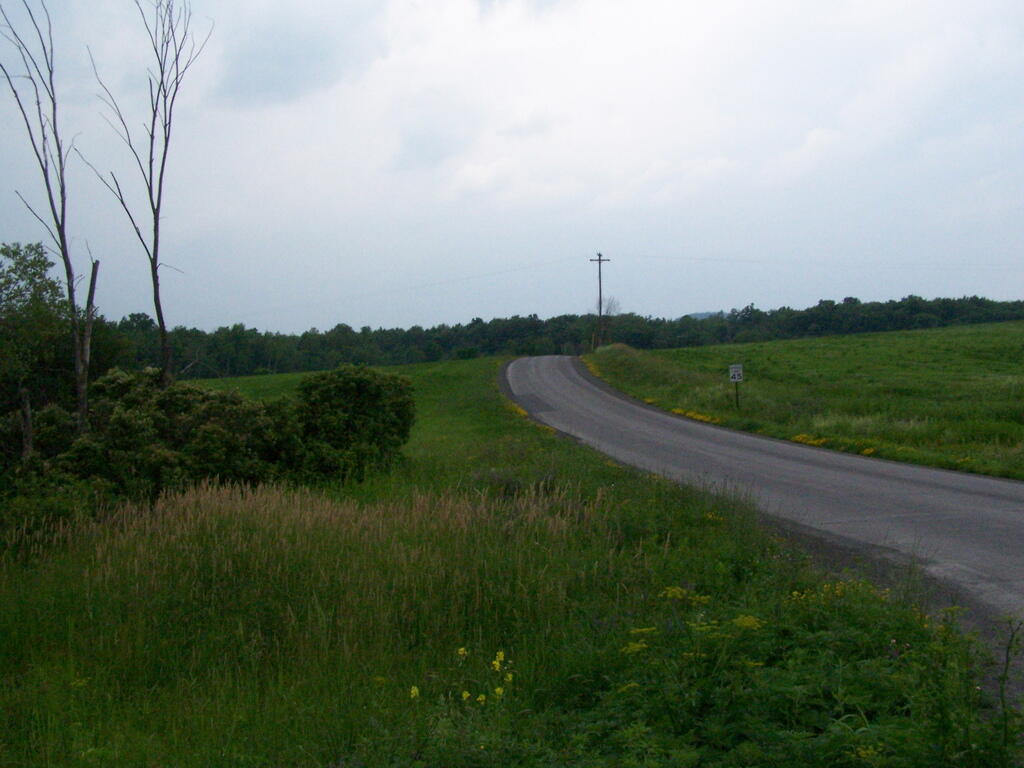
Up the Road 🖼️
Download a JPEG Image of the Up the Road.
Up the Road ...
Taken on Wednesday March 11, 2009 at Schoharie County.

More about Schoharie County...
Schoharie County is a county located in the U.S. state of New York. As of the 2010 census, the population was 32,749. The county seat is Schoharie.
A primarily rural county known for the fertile Schoharie Valley, it is also home to many state forests, including Burnt-Rossman State Forest.
http://en.wikipedia.org/wiki/Schoharie_County,_New_York
Download the PDF Map Pack with All Maps from Schoharie County.


