A Place I’ve Overlooked
Over the years I have spent a lot of time camping in the Catskills and Adirondacks. I sometimes go out to Finger Lakes or Central NY, or drive down to Pennsylvania to the Tioga State Forest or Allegheny National Forest. Yet, except for one trip in 2004 and in 2008, I have not spent much time at all in Green Mountains.
I have my reasons for not going to the Green Mountains National Forest. For one, the drive from Albany to Bennington Vermont, is a punishing and awful drive, especially prior to the construction of the Bennington bypass. Hoosic Street in Troy is an awful during most hours of the day, and there is few alternatives for one wanting to get from Albany to Bennington. NY 7 is always congested and loaded with poky speed traps.
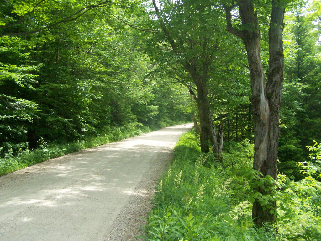
Yet, besides the driving difficulties, there is a lot in Green Mountains. They are not the Adirondacks, but you get back off of Kelley Stand Road, get to some of the many ponds and waterways, mountains, and other wild lands, one must wonder why one hasn’t spent more time here. It’s only 50 miles from Albany to the entrance way of Green Mountain Forest, and there are many wonderful free campsites. It’s pretty wild back here, but still that drive is awful.
I don’t know. I should use my cartography skills and try to find alternative routes to Green Mountains. Maybe take the Northway North and cut over, well North of Troy. Or go through a more southernly route. Yet, at any rate, as an alternative to Adirondacks or Catskills, and is out of State, the Green Mountains National Forest seems like a great place to visit.