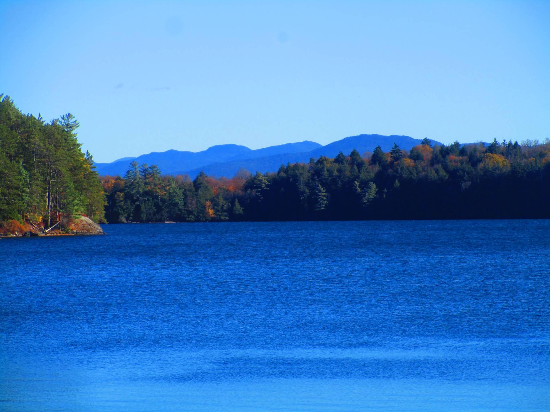
Hoel Pond 🖼️
Download a High Resolution JPEG Image of the Hoel Pond or an Adobe Acrobat Printable PDF of the Hoel Pond.
Hoel Pond ...
Taken on Thursday October 16, 2025 at Adirondack Rail Trail.

More about Adirondack Rail Trail...
The Adirondack Rail Trail from Tupper Lake to Rollins Pond is part of a 34-mile multi-use trail that connects Lake Placid, Saranac Lake, and Tupper Lake. Surface: The trail will feature a mixed variety of surfaces, including large crushed stone and sand, with occasional rail tie fragments and small metal pieces. You may want to bring an air pump and spare tubes. The trail has a gentle grade, with a maximum slope of 5% and a typical slope of 2%, making it accessible to users of all ages and abilities. The trail has a typical width of 5 feet. Parking areas, rest stops, kiosks, and educational signs will be available along the trail.
Download the PDF Map Pack with All Maps from Adirondack Rail Trail.


