Tunnel Cut 🖼️
Download a High Resolution JPEG Image of the Tunnel Cut or an Adobe Acrobat Printable PDF of the Tunnel Cut.
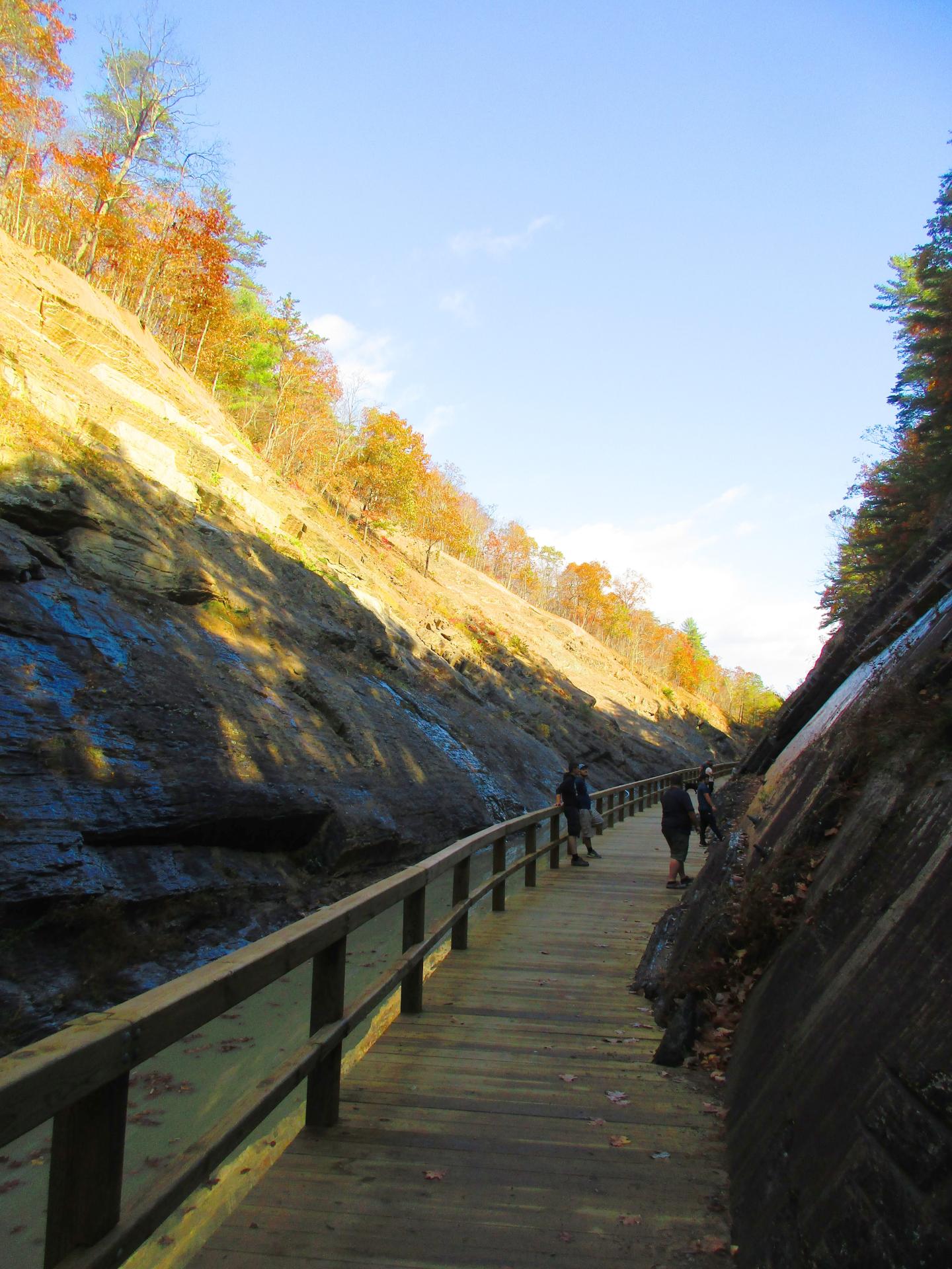
Tunnel Cut ...
Once you get beyond the Paw Paw Tunnel, the builders of the canal cut through nearly a 1/4 mile of mountain before reaching a natural valley between the hills which the C&O Canal follows until reaching the edge of the Potomac River nearly a mile further down. By tunneling through the mountain, it cuts off nearly a 6 mile bend in the Potomac.
Taken on Saturday October 28, 2023 at C&O Canal Towpath.
More about C&O Canal Towpath...
The C&O Canal Towpath is a rugged 184.5-mile trail that follows the course of the C&O Canal. This trail allows people to stroll, jog, or cycle between Georgetown and Cumberland, Maryland. Initially constructed for the mules that towed canal boats along the waterway, it has evolved into a well-liked recreational path for modern-day outdoor enthusiasts.


