Paw Paw 🖼️
Download a High Resolution JPEG Image of the Paw Paw or an Adobe Acrobat Printable PDF of the Paw Paw.
Paw Paw ...
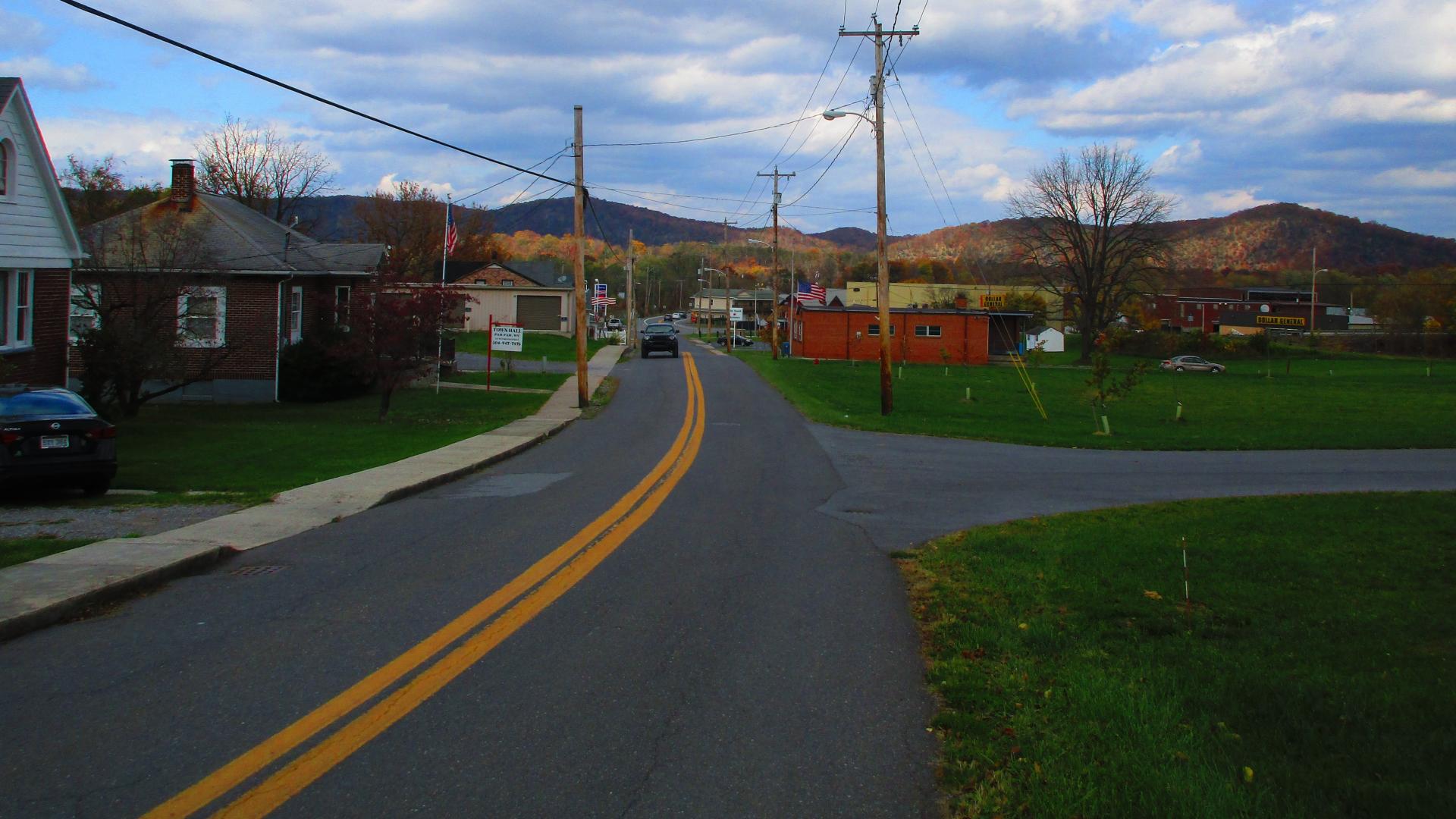
When I was exploring the Paw Paw tunnel, I took the bike path from the main C&O Canal Trail and poked around Paw, Paw, WV for a while. Not a lot to see there for sure.
Taken on Saturday October 28, 2023 at C&O Canal Towpath.

More about C&O Canal Towpath...
The C&O Canal Towpath is a rugged 184.5-mile trail that follows the course of the C&O Canal. This trail allows people to stroll, jog, or cycle between Georgetown and Cumberland, Maryland. Initially constructed for the mules that towed canal boats along the waterway, it has evolved into a well-liked recreational path for modern-day outdoor enthusiasts.


