Pulling the plug on West Virginia for now 🔌 👈 🗻
Is that even possible? I heard they have a lot of coal there, it’s not like the Gaza strip.
I so wanted to go to West Virginia this year. And I might but not next week. I keep putting off my decision to formally request to not take off next week from work, hoping in vein that the forecast for the High Country of West Virginia would improve in vein.
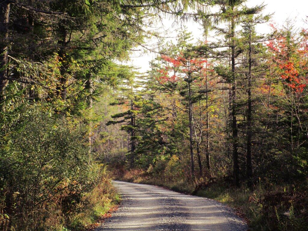
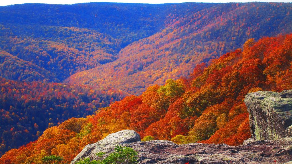
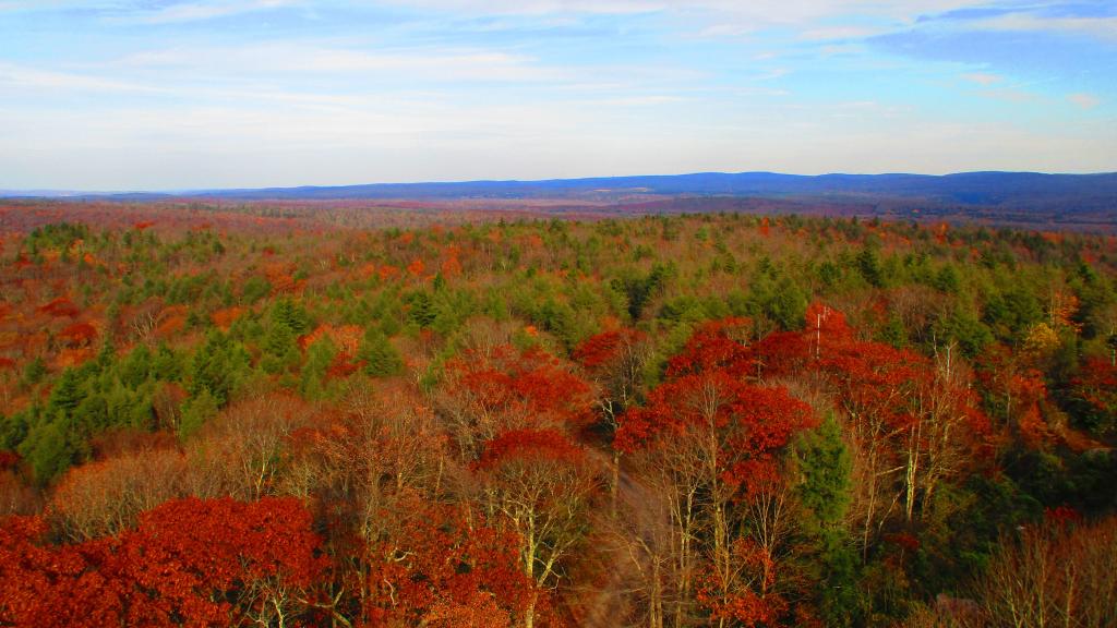
It’s been a tough decision as I really wanted to go next week when there would still be good color but after the crowds of Columbus Day Weekend. When it would still be fairly warm and the days relatively long for the autumn season.
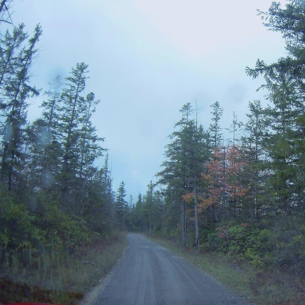
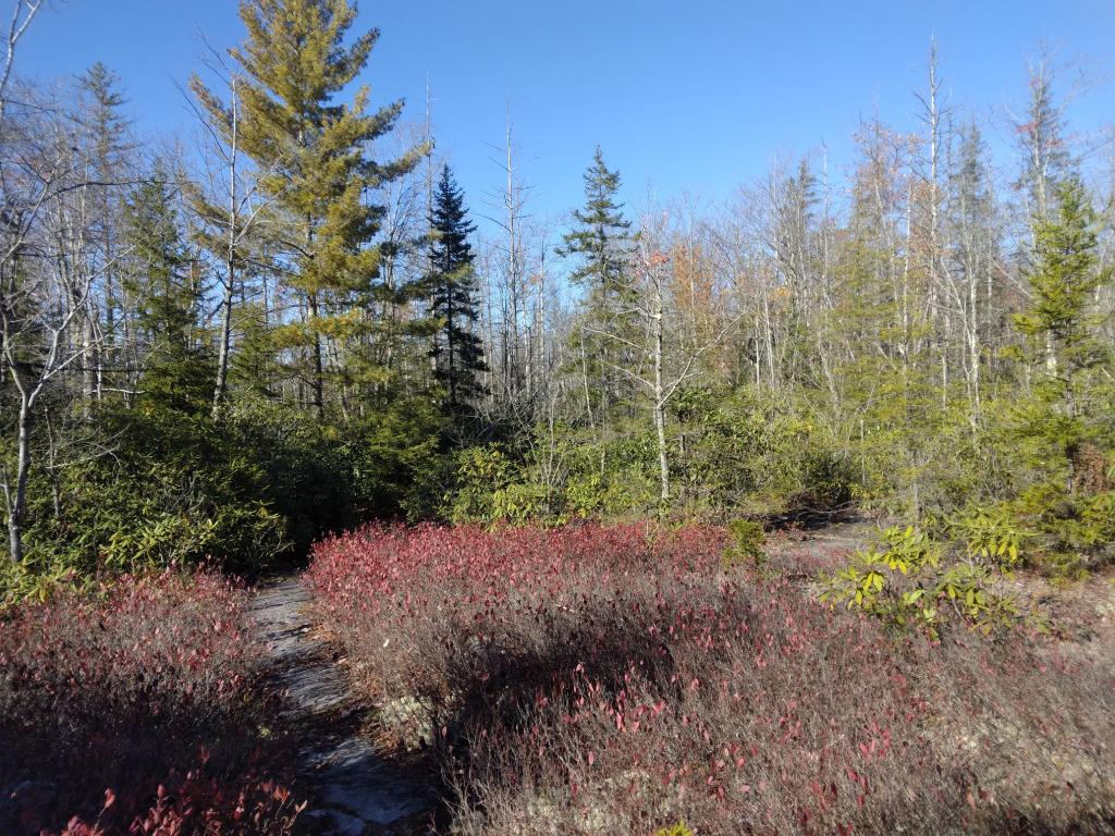
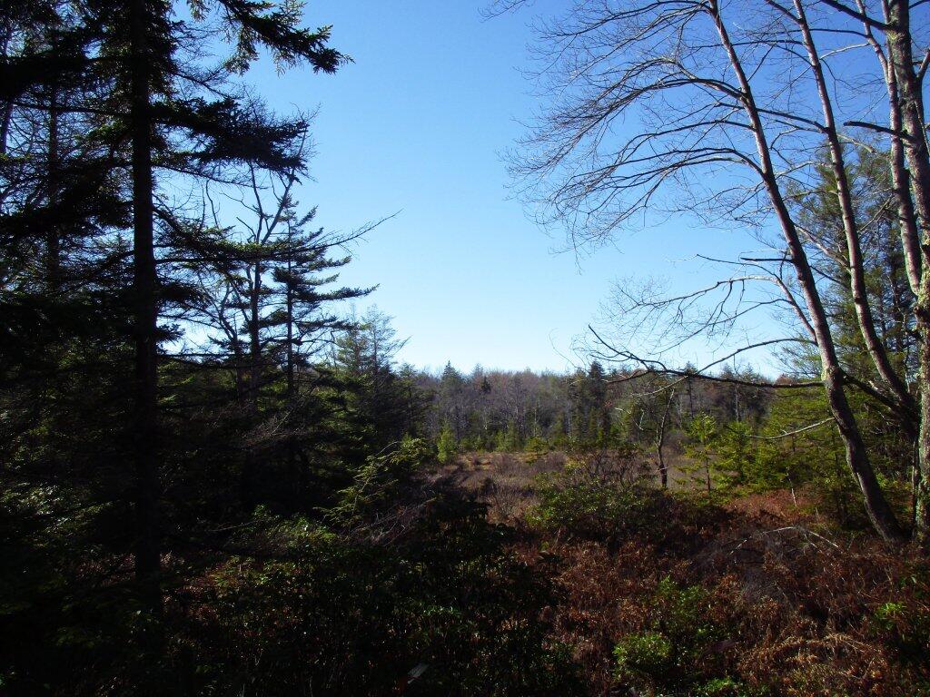
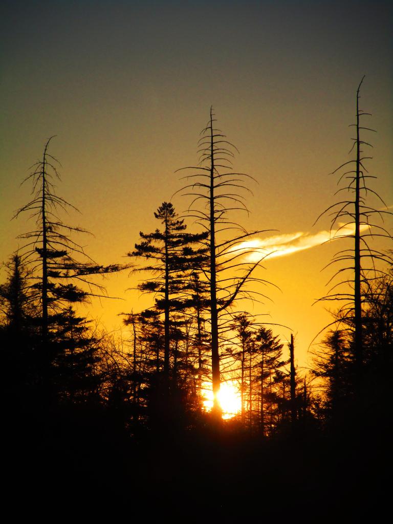
But the cruel reality is that the low pressure is moving further south than originally expected and it’s not only expected to deliver a significant amount of rain come Saturday into Sunday – which I don’t care so much but leave the High Country socked in rain showers and fog most of the week, with highs in the low 40s with the strong winds that give the trees of Dolly Sods their distinctive shape. Really doesn’t sound like much fun for camping.
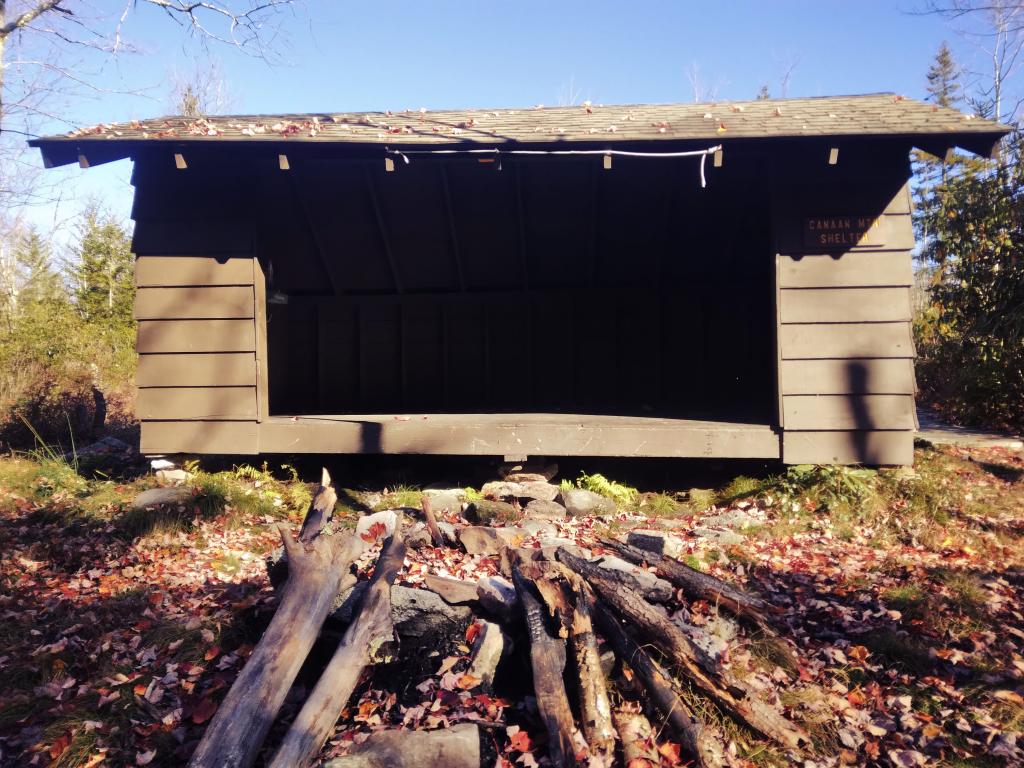
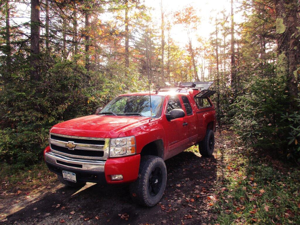
I’m sure I could survive hot tenting but it wouldn’t necessarily be a totally pleasurable experience, especially figuring it’s not cheap to drive my Big Jacked Up Truck all the way to West Virginia which is about 500 miles and two days away from Albany. A lot of gas and wear and tear on my twelve year old truck. And that means at least one night each way camping at the County Bridge campground in Pennsylvania which is relatively inexpensive but not free. It would be lots of money spent for camping in hypothermia weather.
Maybe the forecast will improve for the following week or even in three weeks when Election Day and Veterans Day holiday fall on the same week, offering extra time off without using as much time. Or maybe I’ll plan other smaller trips closer to home. But I’m disappointed as I really was looking forward to my West Virignia trip.