West Fulton, NY 🗺️
About West Fulton, NY ....
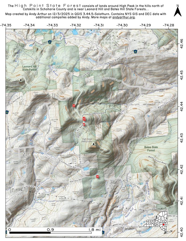
West Fulton is a small hamlet located in Schoharie County, New York, in the United States. It is situated in the western part of the county, near the Catskill Mountains. West Fulton is part of the town of Fulton, which encompasses several other hamlets and communities.
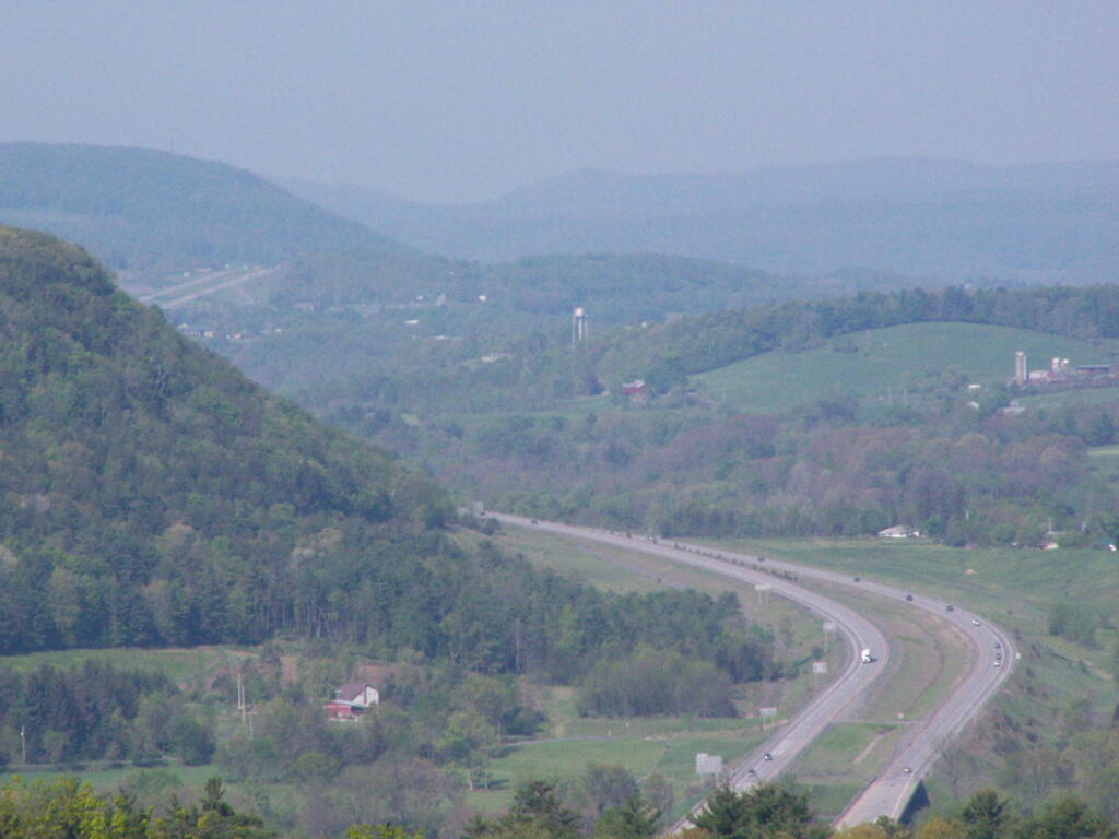
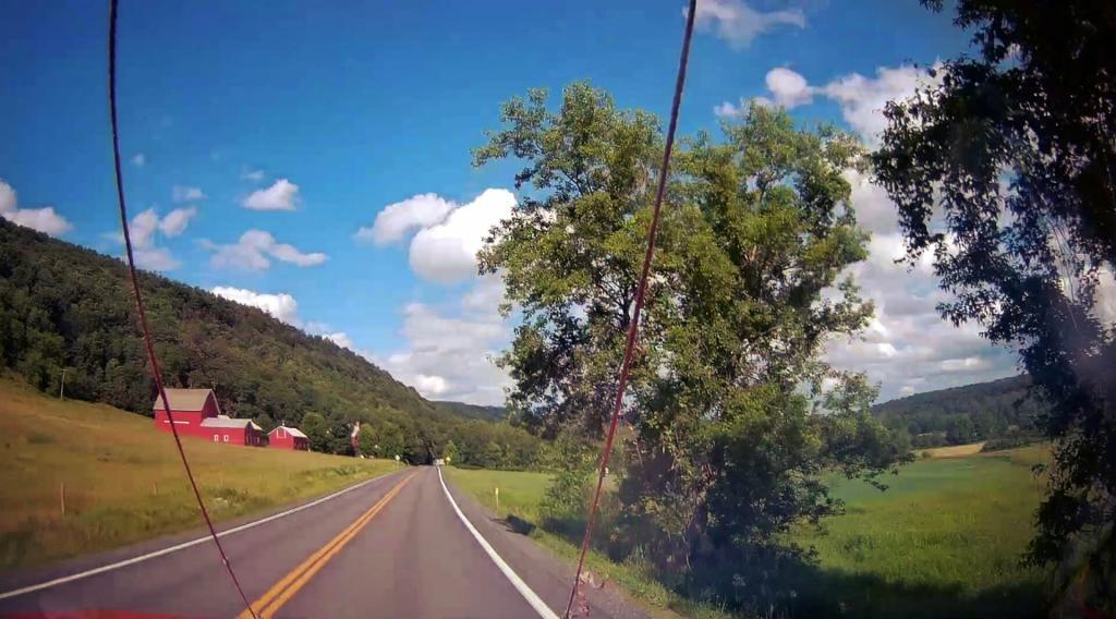
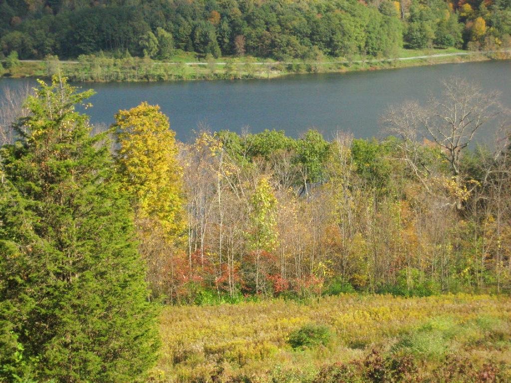
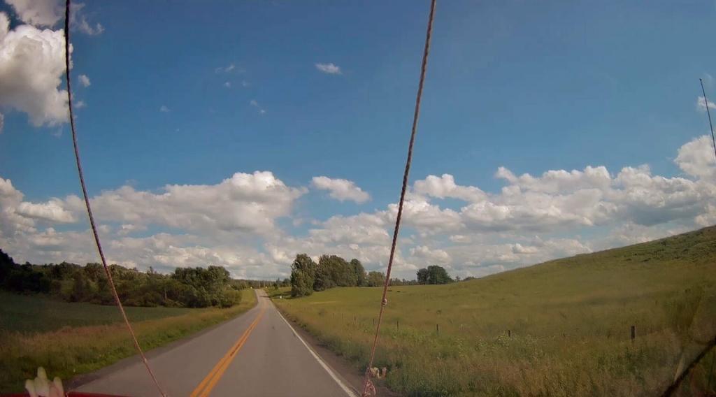
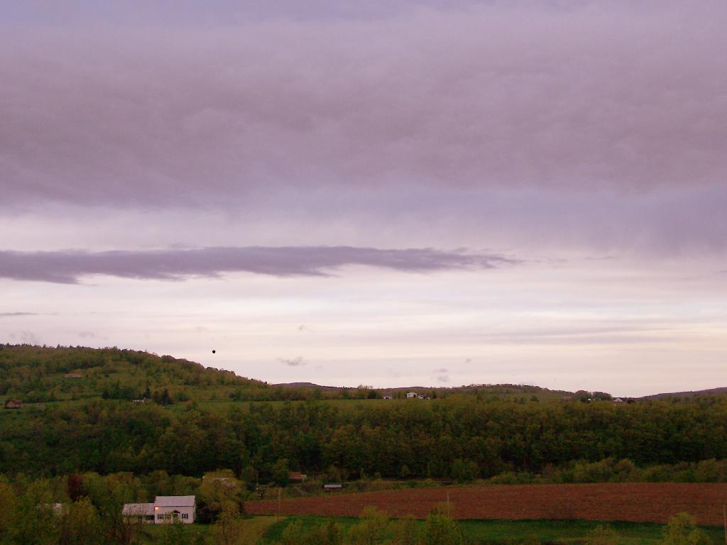
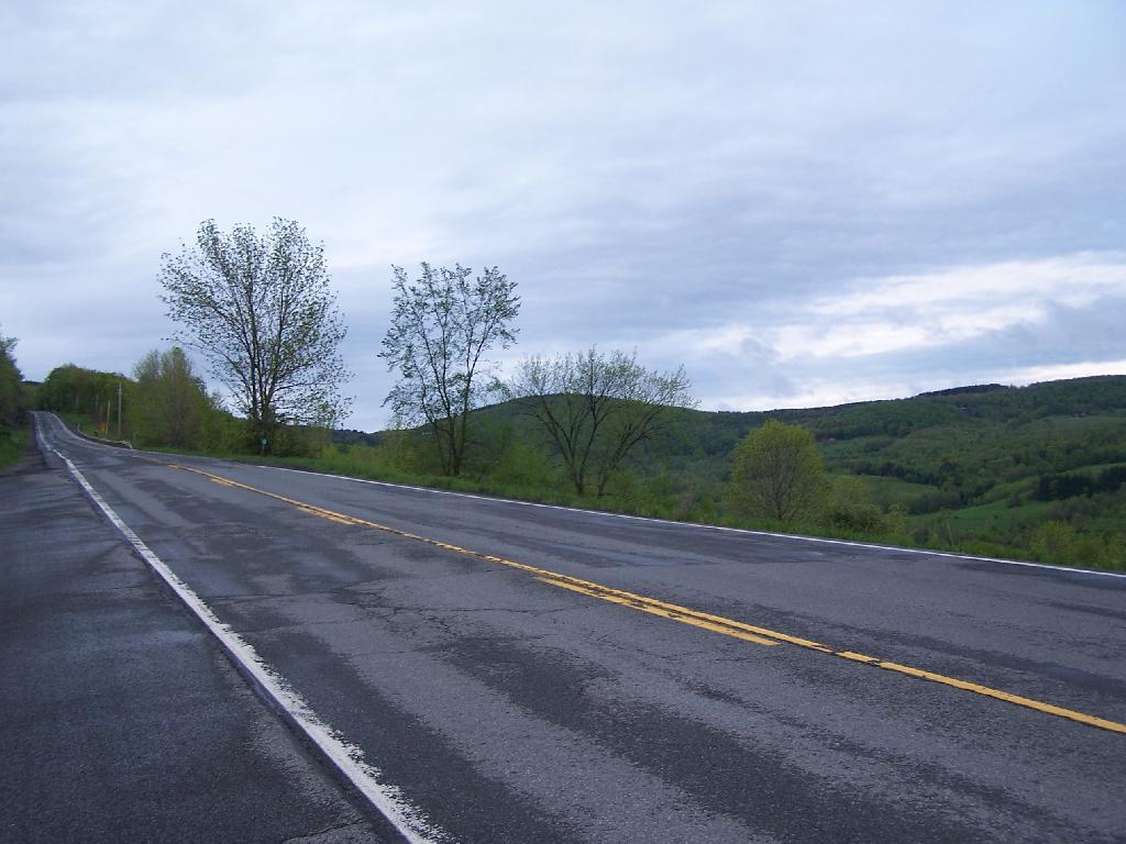
West Fulton, like many rural areas in upstate New York, is known for its picturesque landscapes, rolling hills, and natural beauty. It is a quiet and sparsely populated area that attracts those seeking a more rural and tranquil way of life.
While West Fulton itself may not have many amenities, you can find some in nearby towns such as Cobleskill and Middleburgh, which offer various services, schools, and shopping options. The region is known for its outdoor recreational opportunities, including hiking, fishing, and wildlife watching, thanks to its proximity to the Catskill Mountains and the Schoharie Creek.
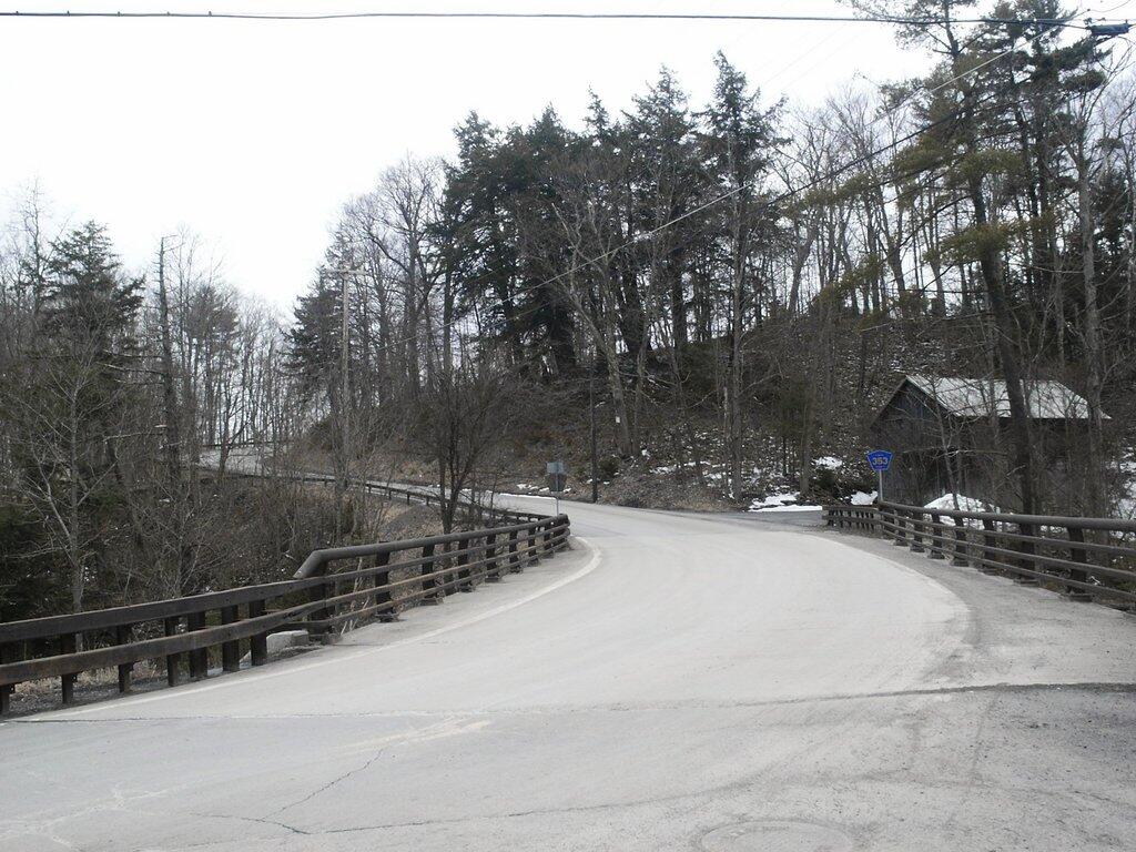
The hamlet of West Fulton has a historic charm and a sense of community, with many older buildings and a rural atmosphere. It is a place where residents and visitors can enjoy the beauty of the natural surroundings and escape the hustle and bustle of more urban areas.

Helpful Hint: While I suggest you look on blog for a downloadable PDF Map, you should be able to print or save this map by clicking the print button on the map above.
Data Sources
Road Trip to Coal Country by Nate Matthews - You can download the KMZ File used in creation of this map.
Aerial NAIP (2022/2023) - High-resolution aerial photography from NAIP photos taken with leaves on in summer/fall 2022 and 2023. NAIP. WMS Service: https://imagery.nationalmap.gov/arcgis/services/USGSNAIPPlus/ImageServer/WMSServer, Layer: USGSNAIPPlus:NaturalColor
3DEP Elevation Hillshade. LIDAR and legacy USGS DRG Topo Derived hillshades used as a background. DEM - WMS Service: https://elevation.nationalmap.gov/arcgis/services/3DEPElevation/ImageServer/WMSServer, Layer: 3DEPElevation:Hillshade Gray
Full List of WMS and ArcMap Services - CSV Spreadsheet with all web map services currently used on the blog.
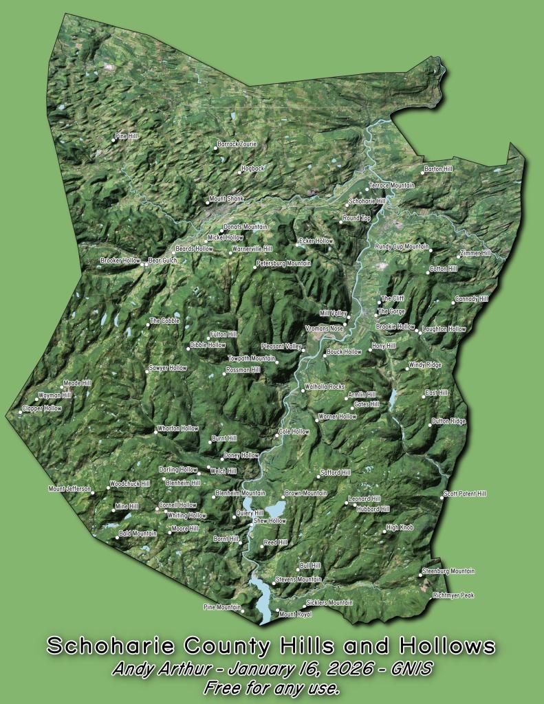
More about Schoharie County...
Schoharie County is a county located in the U.S. state of New York. As of the 2010 census, the population was 32,749. The county seat is Schoharie.
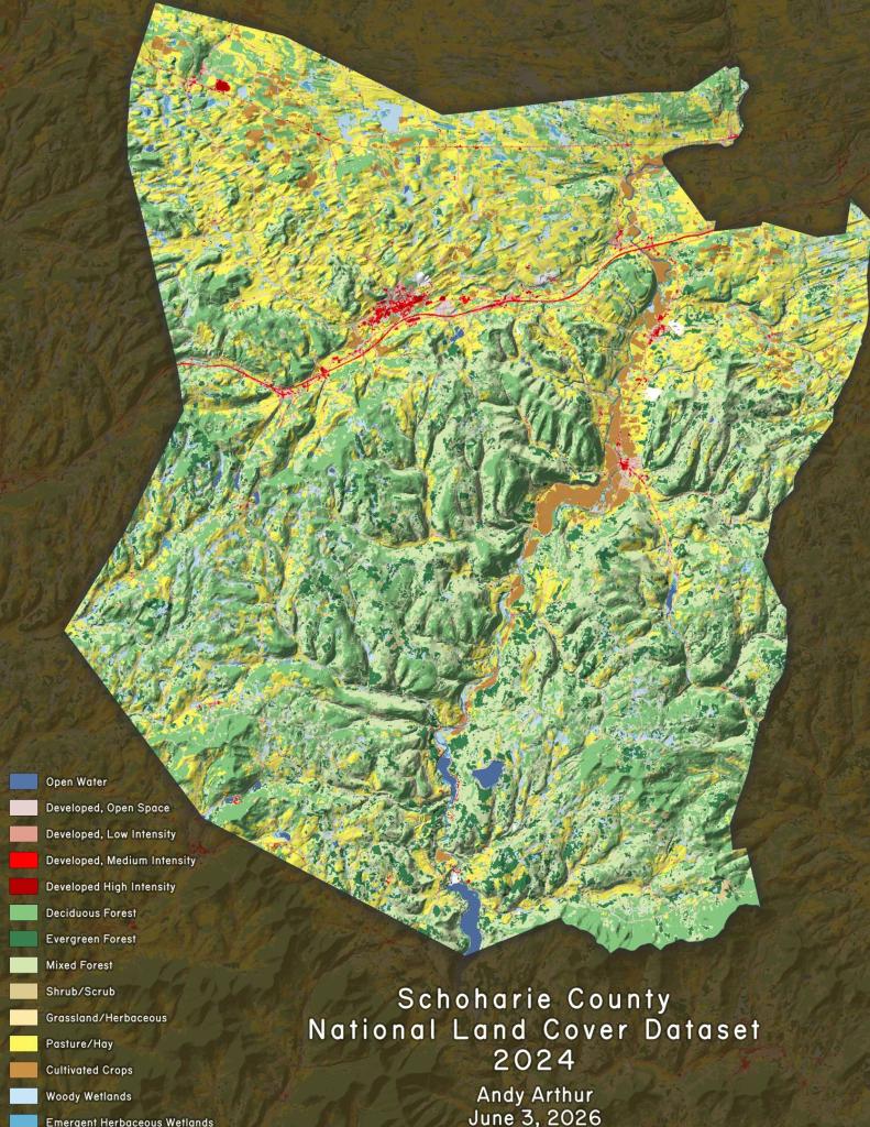
A primarily rural county known for the fertile Schoharie Valley, it is also home to many state forests, including Burnt-Rossman State Forest.
http://en.wikipedia.org/wiki/Schoharie_County,_New_York
Download the PDF Map Pack with All Maps from Schoharie County.