Rift Mountain – Blue Ledges 🗺️

Helpful Hint: While I suggest you look on blog for a downloadable PDF Map, you should be able to print or save this map by clicking the print button on the map above.
Data Sources
Road Trip to Coal Country by Nate Matthews - You can download the KMZ File used in creation of this map.
NY Aerial (2020) - High-resolution aerial photography from NYSGIS, photos taken with leaves off in spring time between the years 2016-2020. NYSGIS. WMS Service: https://orthos.its.ny.gov/ArcGIS/services/wms/Latest/MapServer/WMSServer, Layer: 0,1,2,3
3DEP Elevation Hillshade. LIDAR and legacy USGS DRG Topo Derived hillshades used as a background. DEM - WMS Service: https://elevation.nationalmap.gov/arcgis/services/3DEPElevation/ImageServer/WMSServer, Layer: 3DEPElevation:Hillshade Gray
Full List of WMS and ArcMap Services - CSV Spreadsheet with all web map services currently used on the blog.
More about Blue Ledges...
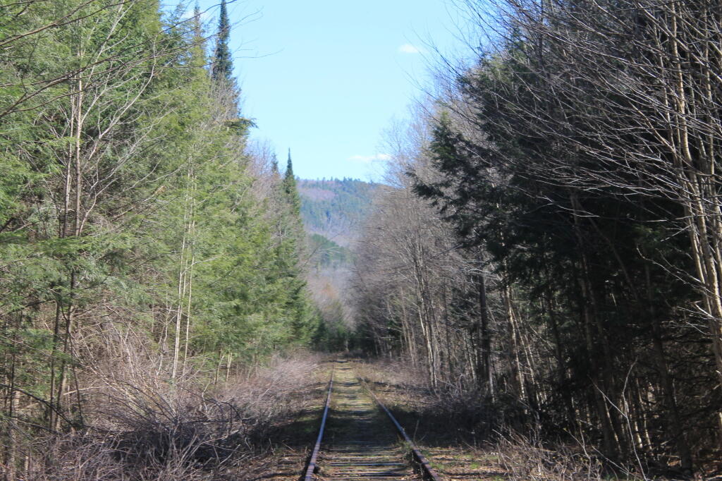
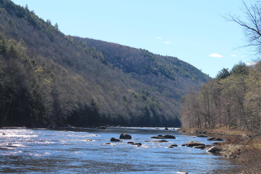
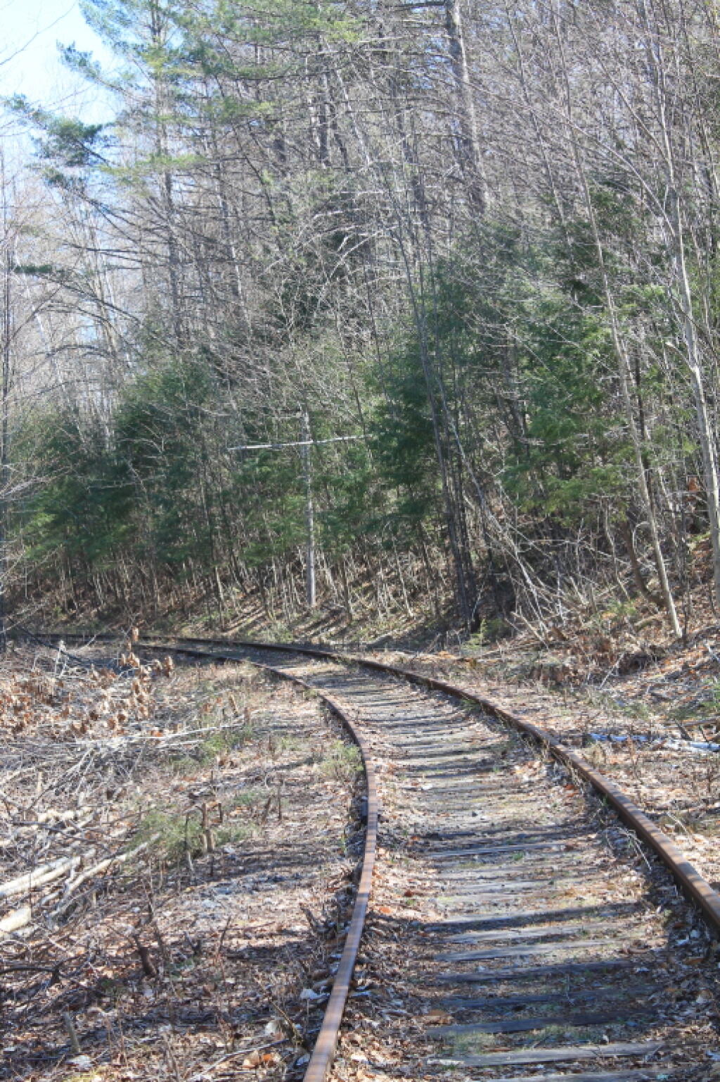
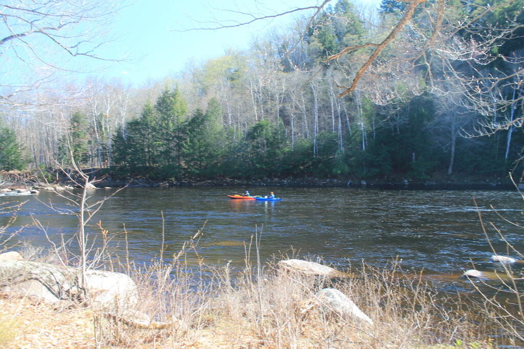
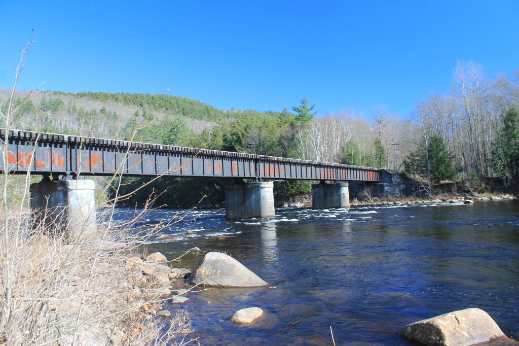
The trail to the Blue Ledges ends up at a beautiful spot on the Hudson River on the bank opposite the tall cliffs called the Blue Ledges. The cliffs rise over 300 feet and are spectacular! The river makes a right angle bend at this location and is filled with big boulders which, depending on water levels, may be well above the flow or part of a huge white water. There is also a section of sandy bank shore for those who like to wade. At the trailhead, follow the Blue DEC trail markers.