Land Use Around Norwich 🗺️
About Land Use Around Norwich ....
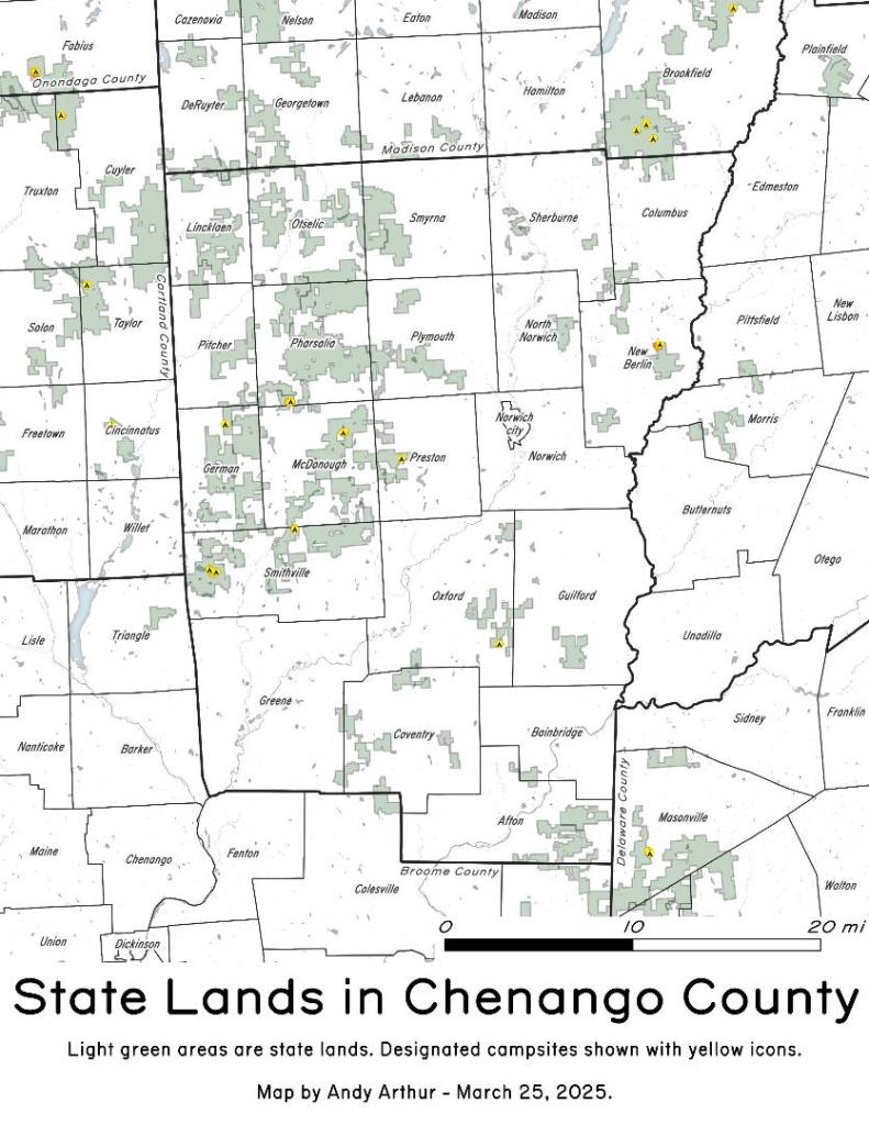
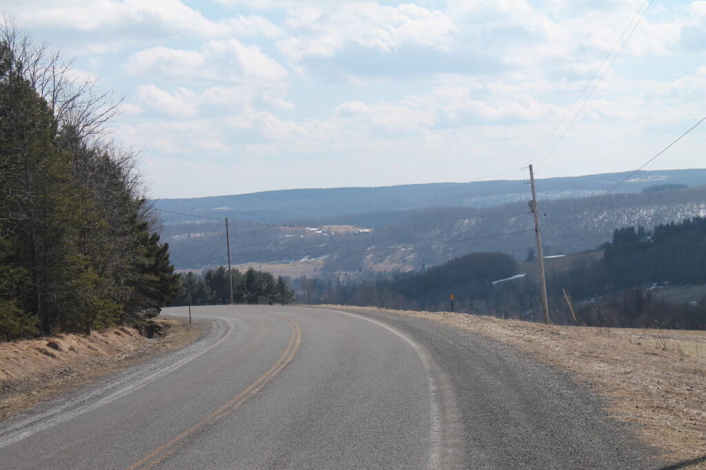
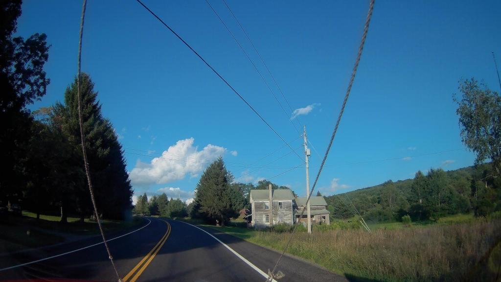
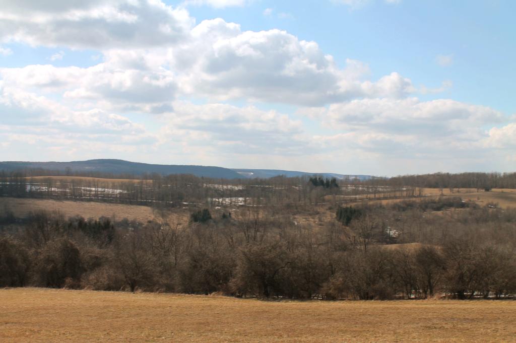
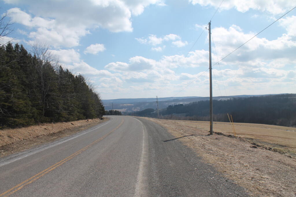
Chenango County is known for it's rural nature and it's dairy farms, but outside of the river valleys, much of the upland is not used for crop production but instead forages like hay and grazing. While the valleys are quite agricultural, the hills tend to be wooded or grazing lands.
Helpful Hint: While I suggest you look on blog for a downloadable PDF Map, you should be able to print or save this map by clicking the print button on the map above.
Data Sources
Road Trip to Coal Country by Nate Matthews - You can download the KMZ File used in creation of this map.
OpenStreetMap - Map data: © OpenStreetMap, SRTM | Map style: © OpenTopoMap (CC-BY-SA). XYZ Tiles: https://{s}.tile.openstreetmap.org/{z}/{x}/{y}.png
National Land Cover Dataset 2016 - Multi-resolution Land Characteristics Consortium. WMS Service: https://www.mrlc.gov/geoserver/ows?SERVICE=WMS, Layer: NLCD_2016_Land_Cover_L48
L.esri - US Census Bureau TIGER/Line. WMS Service: https://tigerweb.geo.census.gov/arcgis/services/TIGERweb/tigerWMS_Census2020/MapServer/WMSServer, Layer: Counties,States
Municipalities - US Census Bureau TIGER/Line. WMS Service: https://tigerweb.geo.census.gov/arcgis/services/TIGERweb/tigerWMS_Census2020/MapServer/WMSServer, Layer: County Subdivisions,Counties
3DEP Elevation Hillshade. LIDAR and legacy USGS DRG Topo Derived hillshades used as a background. DEM - WMS Service: https://elevation.nationalmap.gov/arcgis/services/3DEPElevation/ImageServer/WMSServer, Layer: 3DEPElevation:Hillshade Gray
Full List of WMS and ArcMap Services - CSV Spreadsheet with all web map services currently used on the blog.
More about Chenango County...
Chenango County is a county located in the U.S. state of New York. As of the 2010 census, the population was 50,477.[1] The county's name originates from an Oneida word meaning "large bull-thistle." Its county seat is Norwich.
Chenango County is in the approximate center of the state, west of Albany, north of Binghamton, and southeast of Syracuse. The county is considered to be in the Southern Tier region of New York State.
According to the U.S. Census Bureau, the county has a total area of 899 square miles (2,328.4 km2), of which 894 square miles (2,315.4 km2) is land and 4 square miles (10.4 km2) (0.48%) is water.[2]
The Chenango River, a tributary of the Susquehanna River flows southward through the county.
http://en.wikipedia.org/wiki/Chenango_County,_New_York
Download the PDF Map Pack with All Maps from Chenango County.