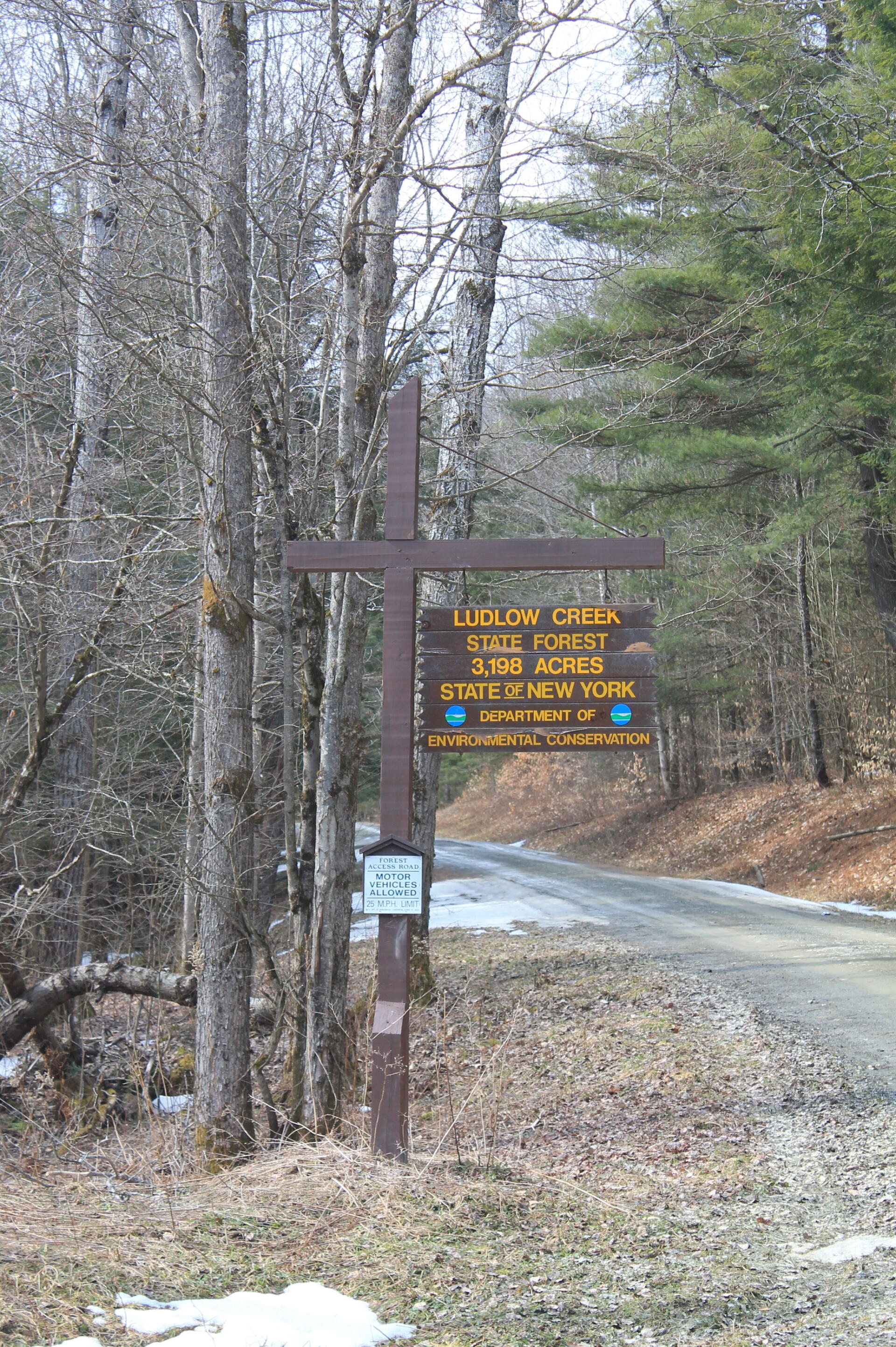
Ludlow Creek State Forest 🖼️
Download a High Resolution JPEG Image of the Ludlow Creek State Forest or an Adobe Acrobat Printable PDF of the Ludlow Creek State Forest.
Ludlow Creek State Forest ...
Exploring a truck trail on the back roads.
Taken on Sunday April 7, 2013 at Chenango County.

More about Chenango County...
Chenango County is a county located in the U.S. state of New York. As of the 2010 census, the population was 50,477.[1] The county's name originates from an Oneida word meaning "large bull-thistle." Its county seat is Norwich.
Chenango County is in the approximate center of the state, west of Albany, north of Binghamton, and southeast of Syracuse. The county is considered to be in the Southern Tier region of New York State.
According to the U.S. Census Bureau, the county has a total area of 899 square miles (2,328.4 km2), of which 894 square miles (2,315.4 km2) is land and 4 square miles (10.4 km2) (0.48%) is water.[2]
The Chenango River, a tributary of the Susquehanna River flows southward through the county.
http://en.wikipedia.org/wiki/Chenango_County,_New_York
Download the PDF Map Pack with All Maps from Chenango County.


