Those Cattle Gates Ain’t Gonna Stop Me 🖼️
Download a High Resolution JPEG Image of the Those Cattle Gates Ain't Gonna Stop Me or an Adobe Acrobat Printable PDF of the Those Cattle Gates Ain't Gonna Stop Me.
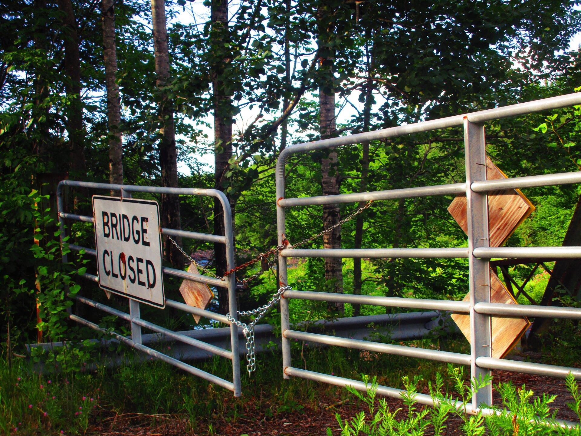
Those Cattle Gates Ain't Gonna Stop Me ...
Like many others, I very much just climbed over the chain. That said, cattle gates are designed to allow humans to climb over them in emergency, such as should a cow start to charge you.
Taken on Thursday July 23, 2020 at Jessup River Wild Forest.

More about Jessup River Wild Forest...
The Jessup River Wild Forest (JRWF) area consists of 47,350 acres of State Forest Preserve lands in the towns of Arietta, Indian Lake, Lake Pleasant, and Wells in Hamilton County. The unit is bounded by Route 28 to the north and Route 30 in the southeast, as well as three wilderness areas: West Canada Lakes Wilderness to the west; Siamese Ponds Wilderness to the east, and Silver Lake Wilderness to the south. The state lands in this unit border, or are in close proximity to, the communities of Indian Lake, Piseco, Speculator and Wells. Route 30 bisects the unit and serves as the main access corridor. Many people enjoy hiking to the fire towers on Pillsbury and Snowy mountains, snowmobiling between Piseco Lake and Indian Lake, canoeing on Fall Stream, or camping on Mason Lake. Hunting, fishing, and trapping are also popular activities throughout the unit but particularly in and around Perkins Clearing, the Jessup River and the Miami River.
http://www.dec.ny.gov/lands/22599.html


