West 🖼️
Download a High Resolution JPEG Image of the West or an Adobe Acrobat Printable PDF of the West.
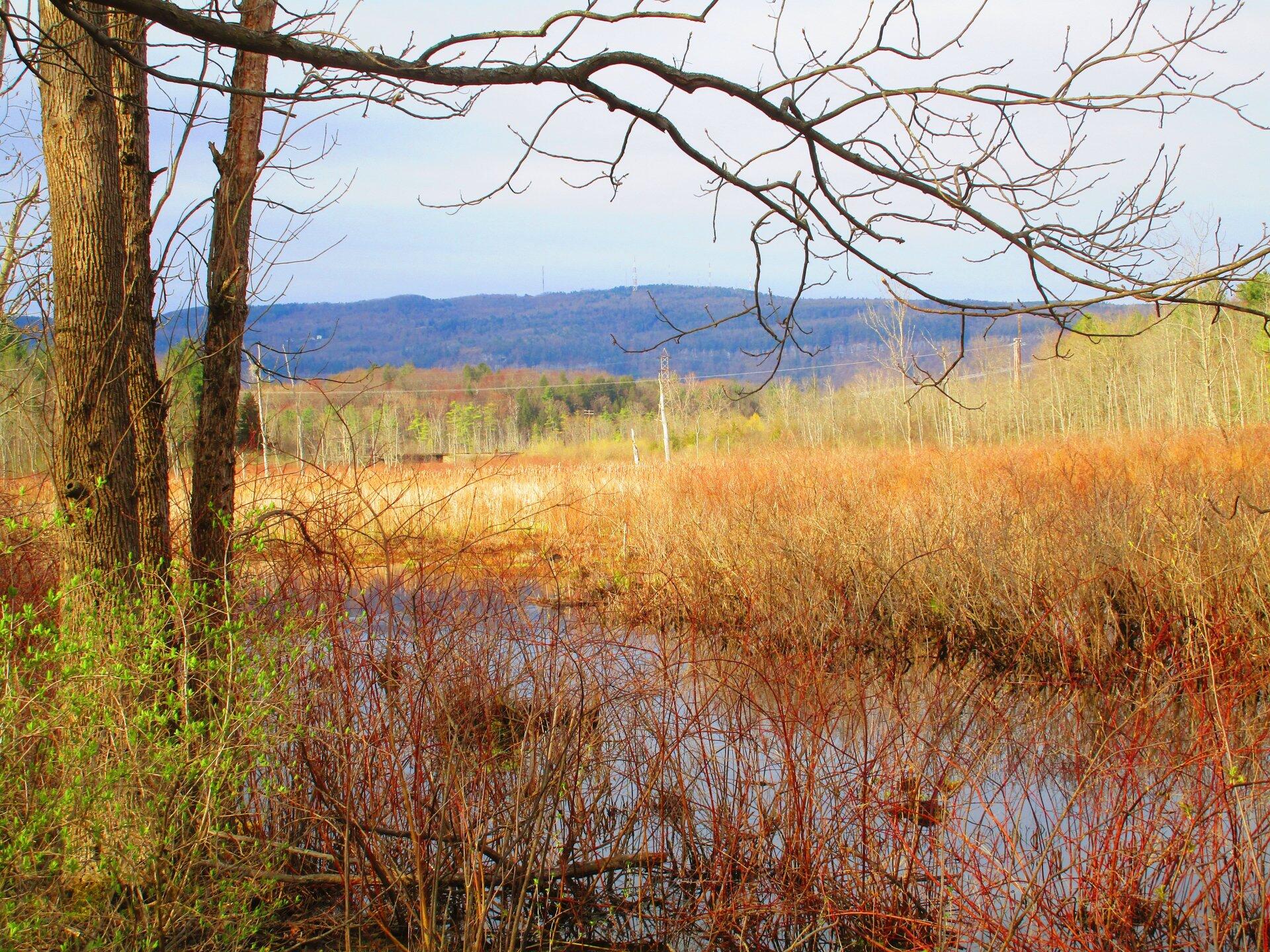
West ...
Looking west through the trees along the Black Creek Marsh.
Taken on Saturday April 25, 2020 at Hamlin Marsh Wildlife Management Area.

More about Hamlin Marsh Wildlife Management Area...
The primary purposes of the Hamlin WMA is for wildlife management, wildlife habitat management, and wildlife-dependent recreation. This WMA is 1686 acres in size with about 88% of it in wetland habitat. The WMA is about four miles long and from 1/4 to one mile wide. Mud Creek flows into and out of Hamlin Marsh WMA and drops only about 2.4 feet as it travels through the marsh. Mill Creek flows into the marsh from the south side under Bear Road. Area topography is gently rolling land with an average elevation of about 400 feet above sea level.
http://www.dec.ny.gov/outdoor/70704.html


