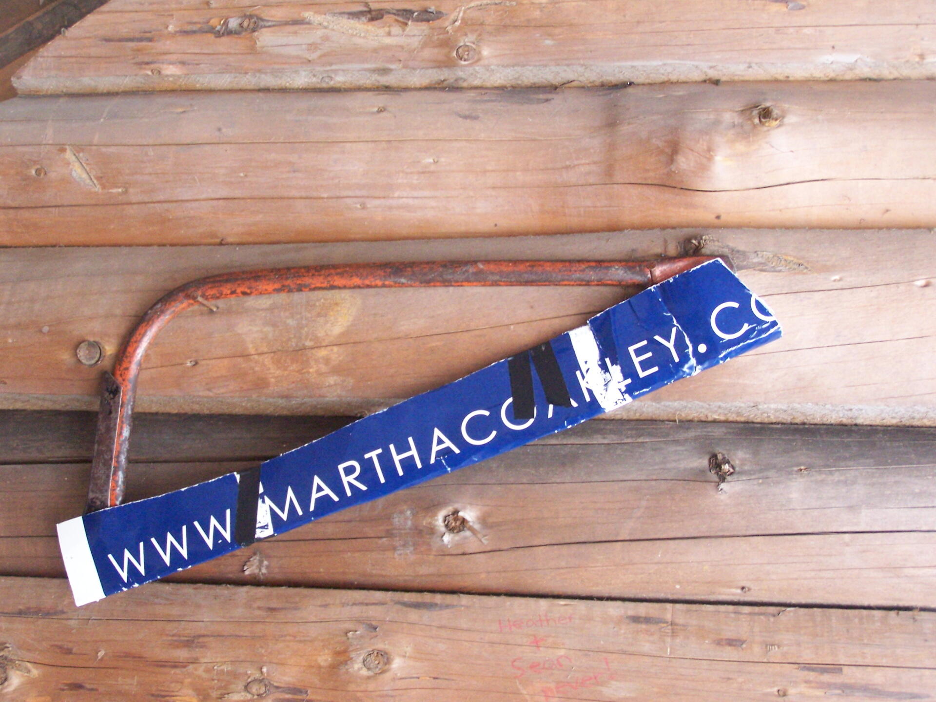
Uses for Old Martha Coakley Lawn Signs 🖼️
Download a High Resolution JPEG Image of the Uses for Old Martha Coakley Lawn Signs or an Adobe Acrobat Printable PDF of the Uses for Old Martha Coakley Lawn Signs.
Uses for Old Martha Coakley Lawn Signs ...
They can be cut and used as sleve for a saw, to cover the blade up so it won't cut things. It's a nice heavy laminated paper sign, after all.
Taken on Sunday March 21, 2010 at Dutch Settlement State Forest.

More about Dutch Settlement State Forest...
Consisting of one of the highest hills above the Schoharie Valley, the 860-acre Dutch Settlement State Forest is crossed by the Long Path and has a lean-to, off of Treadlemire Road in Middleburgh. The village of Middleburgh is roughly 5 miles down Cotton Hill Road from here.
Cotton Hill State Forest is nearby Dutch Settlement State Forest and is commonly confused -- as the summit of Cotton Hill is in Dutch Settlement State Forest and not Cotton Hill State Forest, which was acquired first. Part of the long path runs along Cotton Hill State Forest.


