Preston Hollow 🖼️
Download a High Resolution JPEG Image of the Preston Hollow or an Adobe Acrobat Printable PDF of the Preston Hollow.
Preston Hollow ...
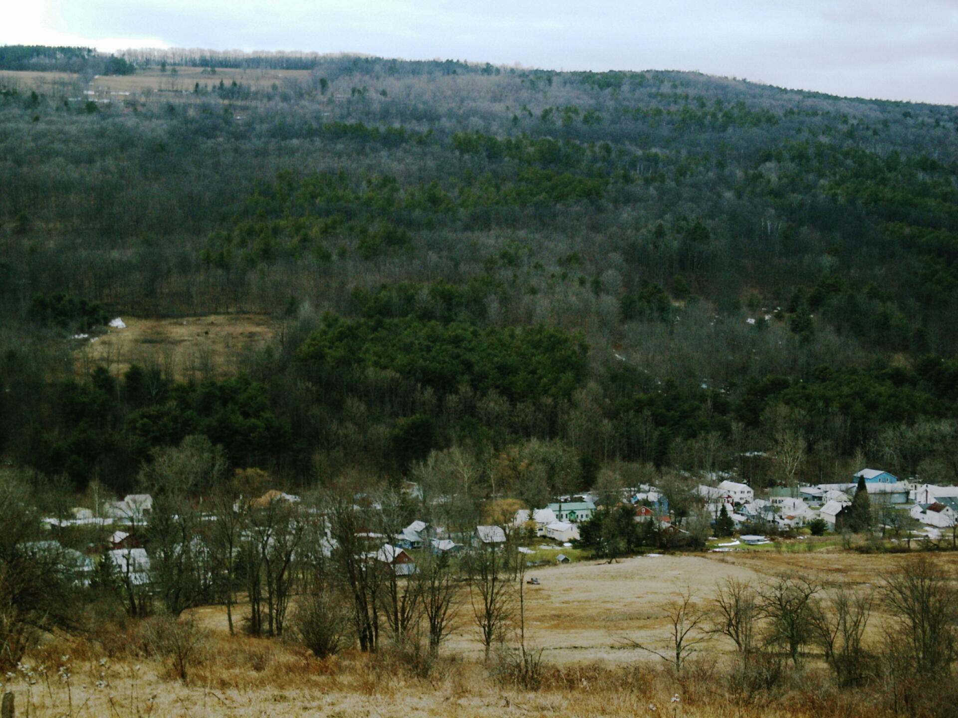
Years ago when I was younger, I used to spend a lot of time exploring the back roads. One of my favorite to explore was off of Cheese Hill Road, as it has some unique views of the Catskill Mountains and the rural hills of Albany and Schoharie Counties. Preston Hollow is kind of a classic Appalachian hamlet in a deep hollow like you might find in many parts of Pennsylvania, West Virginia or the rest of the Appalachian towns.
Taken on Wednesday February 4, 2009 at Rensselearville.
")
More about Rensselearville...
Rensselaerville is a rural town in the southwest corner of Albany County, New York. The population was 1,843 at the 2010 census. The town is named after Stephen Van Rensselaer. It is 61.9 square miles. Hamlets include Cooksburg, Medusa, Potter Hollow, Preston Hollow, and Rensselaerville.
The south town line is the border of Greene County, and the west town line is the border of Schoharie County. Catskill Creek and its tributaries, Lake Creek, Fox Creek, Tenmile Creek, and Eightmile Creek, flow through the town.
http://en.wikipedia.org/wiki/Rensselaerville,_New_York


