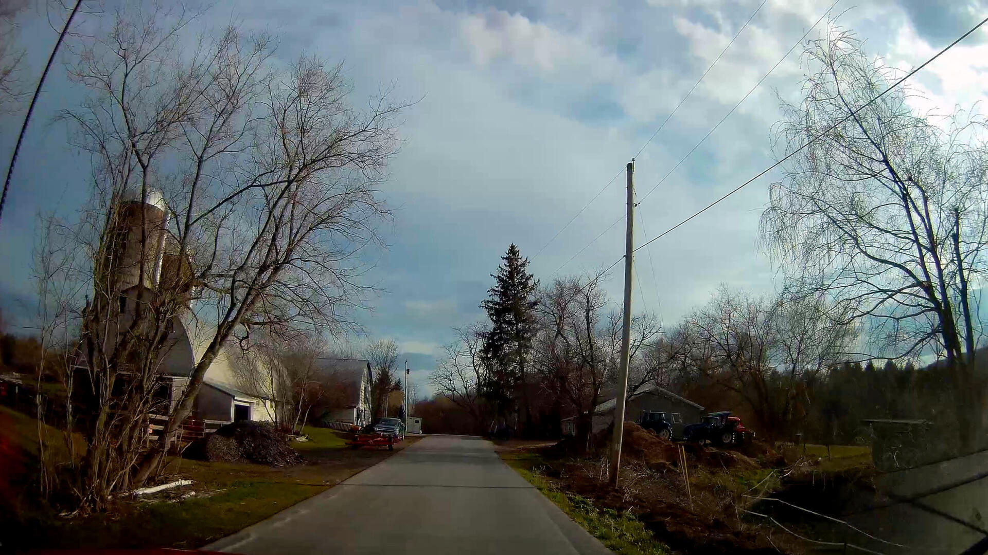
Gifford Hollow Farm 🖼️
Download a High Resolution JPEG Image of the Gifford Hollow Farm or an Adobe Acrobat Printable PDF of the Gifford Hollow Farm.
Gifford Hollow Farm ...
Things are starting to green up on this spring afternoon with all that rich farm dirt and piles of manure ready to be spread on the land with those really nice New Holland tractors. And yes, I do see the burn barrel.
Taken on Thursday April 30, 2020 at Rensselearville.

More about Rensselearville...
Rensselaerville is a rural town in the southwest corner of Albany County, New York. The population was 1,843 at the 2010 census. The town is named after Stephen Van Rensselaer. It is 61.9 square miles. Hamlets include Cooksburg, Medusa, Potter Hollow, Preston Hollow, and Rensselaerville.
The south town line is the border of Greene County, and the west town line is the border of Schoharie County. Catskill Creek and its tributaries, Lake Creek, Fox Creek, Tenmile Creek, and Eightmile Creek, flow through the town.
http://en.wikipedia.org/wiki/Rensselaerville,_New_York


