White Out 🖼️
Download a JPEG Image of the White Out.
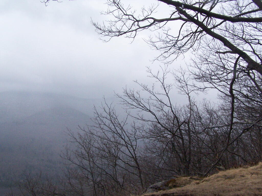
White Out ...
Taken on Sunday April 12, 2009 at Blackhead Mountain.

More about Blackhead Mountain...
Blackhead is a mountain located in Greene County, New York. The mountain is part of the Blackhead range of the Catskill Mountains. Blackhead is flanked to the northeast by Black Dome.
A panoramic view of the Catskills from Blackhead Mountain.
A panoramic view from Blackhead Mountain. The prominent peak in the foreground is Black Dome.
Blackhead stands within the watershed of the Hudson River, which drains into New York Bay. The southwest side of Blackhead drains into East Kill, thence into Schoharie Creek, the Mohawk River, and the Hudson River. The north side of Blackhead drains into the headwaters of Batavia Kill, and thence into Schoharie Creek. The east side of Blackhead drains into Trout Brook, thence into Shingle Kill, Catskill Creek, and the Hudson River.
Blackhead is within New York's Catskill Park. The Long Path, a 350-mile (560 km) long-distance hiking trail from New York City to Albany, is contiguous with the Escarpment Trail.
http://en.wikipedia.org/wiki/Blackhead_%28New_York%29
Download the PDF Map Pack with All Maps from Blackhead Mountain.
")


