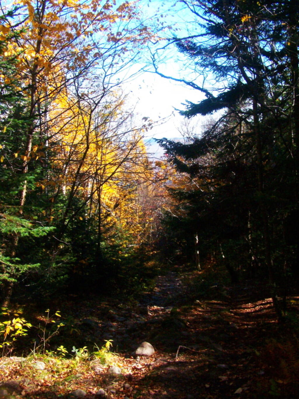
Coniferous and Didcous Trees Along The Trail 🖼️
Download a JPEG Image of the Coniferous and Didcous Trees Along The Trail.
Coniferous and Didcous Trees Along The Trail ...
Taken on Sunday October 9, 2011 at Lyon Mountain.

More about Lyon Mountain...
Lyon Mountain, at 3830 feet, is the highest point in Clinton County and the highest point north of the Saranac River. It is located in the northeastern part of Adirondack Park, west of Plattsburgh, NY in the Chazy Highlands Wild Forest. There is a new 3.4 mile trail that winds its way to the summit and fire tower. The trail has an overall elevation gain of 1900 feet over the 3.4 miles.
The hike is long but you are rewarded with a 360 degree view from the fire tower. Views all the way to Montreal to the north, the Green Mountains and Vermont to the East and the high peaks to the south.
http://www.cnyhiking.com/LyonMountain.htm


