2018 Gubernatorial Primary in Albany County
About 2018 Gubernatorial Primary in Albany County ....
Cynthia Nixon = Deeper Purple
Split Vote = White/Light Purple/Light Green
Andrew Cuomo = Deeper Green
During the Albany County Democratic Primary, Cythnia Nixon and Andrew Cuomo split the county 47.80% to 47.99%. Cynthia Nixon preformed well in the rural areas, along with Academy, Center Square, Delmar, Heldeberg, McKownville, Pine Hills, Slingerlands. Cuomo did better in minority neighborhoods such as Arbor Hill and the South End, along with suburban neighborhoods such as Loudonville, and Guilderland. It's actually kind of interesting mix of voting patterns this primary.
Data Source: Albany County Board of Elections, 2018 Democratic Primary Results. http://app.albanycounty.com/boe/electionresults/
Helpful Hint: While I suggest you look on blog for a downloadable PDF Map, you should be able to print or save this map by clicking the print button on the map above.
Data Sources
2018 Gubernatorial Primary in Albany County - You can download the KMZ File used in creation of this map.
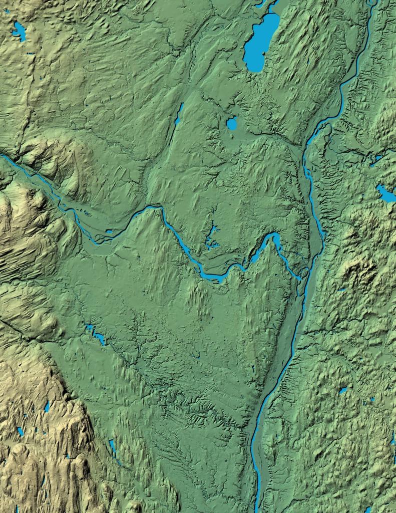
3DEP Elevation Hillshade. LIDAR and legacy USGS DRG Topo Derived hillshades used as a background. DEM - WMS Service: https://elevation.nationalmap.gov/arcgis/services/3DEPElevation/ImageServer/WMSServer, Layer: 3DEPElevation:Hillshade Gray
Full List of WMS and ArcMap Services - CSV Spreadsheet with all web map services currently used on the blog.
More about Albany County...
Albany County (/ˈɔːlbəniː/ awl-bə-nee) is a county located in the U.S. state of New York, and is part of the Albany-Schenectady-Troy Metropolitan Statistical Area. The name is from the title of the Duke of York and Albany, who became James II of England (James VII of Scotland). As of the 2010 census, the population was 304,204.[1] As originally established, Albany County had an indefinite amount of land, but has only 530 square miles (1,400 km2) as of March 3, 1888. The county seat is Albany, the state capital.
http://en.wikipedia.org/wiki/Albany_County,_New_York