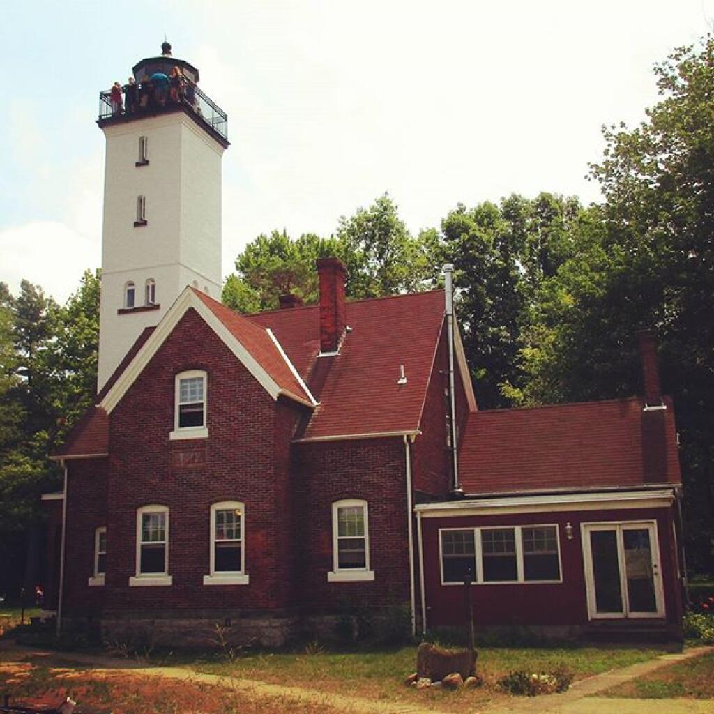
Erie County PA πŸ“

Erie County is a county located in the U.S. state of Pennsylvania. As of 2010, the population was 280,566. Its county seat is the City of Erie. Erie County makes up the entire Erie, PA Metropolitan Statistical Area.

According to the U.S. Census Bureau, the county has a total area of 1,558 square miles (4,035.2 km2), the largest county in Pennsylvania, of which 798.9 square miles (2,069 km2) is land and 759.1 square miles (1,966 km2) (48.7%) is water. With the exception of a high ridge several miles from the lake, running nearly parallel with its shore, the terrain is generally rolling and well watered.

There are only two cities in Erie County: the City of Erie and the City of Corry. Erie County is bordered on the northeast by Chautauqua County, New York, on the east by Warren County, on the south by Crawford County, and on the west by Ashtabula County, Ohio. Directly north of the county is Lake Erie. This position on the water makes Erie County the only county in Pennsylvania to share a border with Canada, which is located on the far shore of the lake.

It is the only county in the state that occupies a significant amount of land north of the 42nd parallel.

http://en.wikipedia.org/wiki/Erie_County,_Pennsylvania

πŸ—ΊοΈ Maps πŸ–ΌοΈ Photos πŸ“½οΈ Videos
Map: Mountain House Trail and North Mountain
Map: Lincoln Park

Tip of Presque Island May 1939

Just browsing the Pennsylvania Imagery Navigator and I found this neat old image of the Erie PA Harbor and Presque Isle State Park back in 1939 ...

Tip of Presque Island May 1939

Thematic Map: County Population Under 25k
Map: Bartman Trail
Map: Shindagin Hollow State Forest Ortho
Map: Severence Hill Trail
Map: Winding Falls Trail - Bog River Ski Trail - Bog River Falls