
Bald Hill Road is Rough
And many of the parking options along it are quite tight.
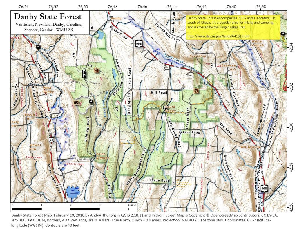
Sunday August 16, 2020 — Danby State Forest — Danby State Forest 🗺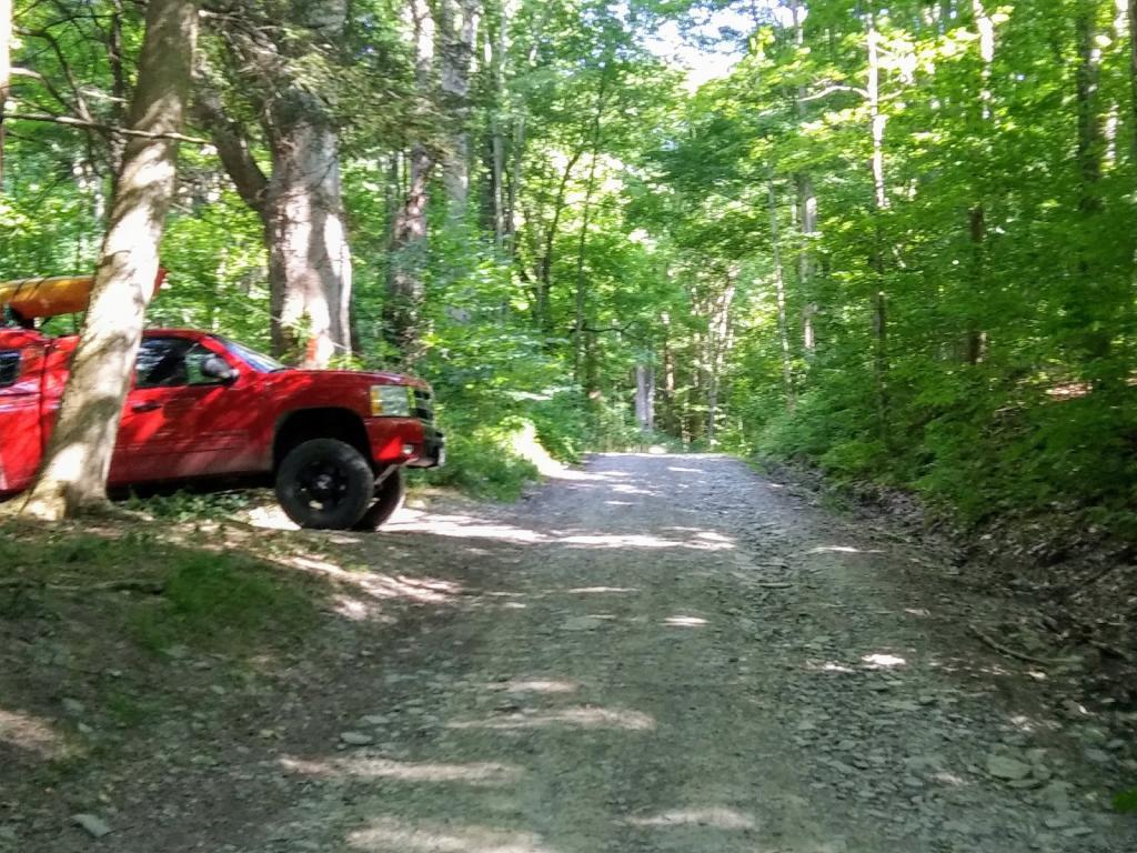

Picnic table and fireplace
Nice little overlook but it sure is hot on a hot summer afternoon.
Sunday August 16, 2020 — Danby State Forest — Danby State Forest 🗺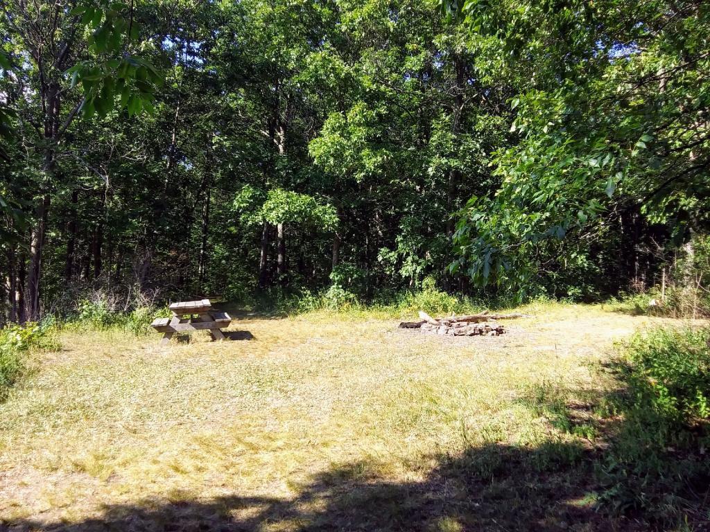
")
Northwest view
The northwest view is only slightly better but not great in the afternoon with the sun in the picture.
Sunday August 16, 2020 — Danby State Forest — Danby State Forest 🗺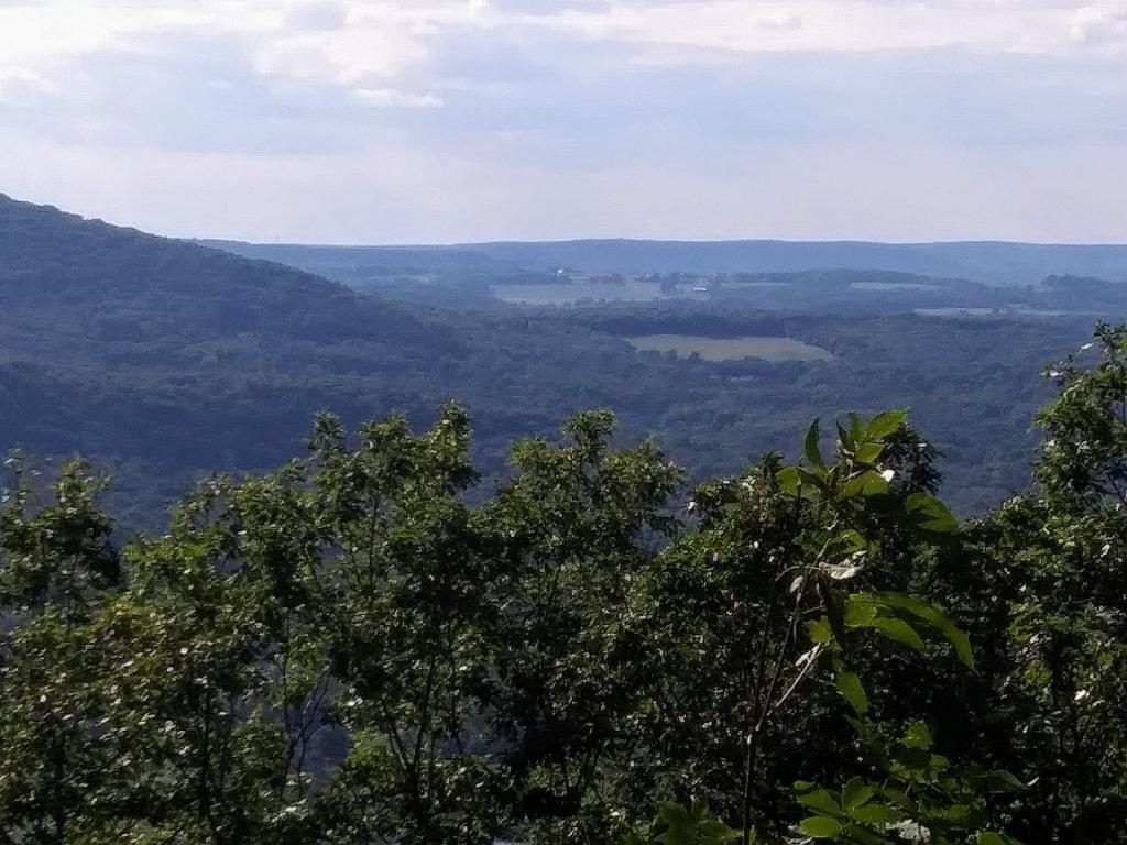
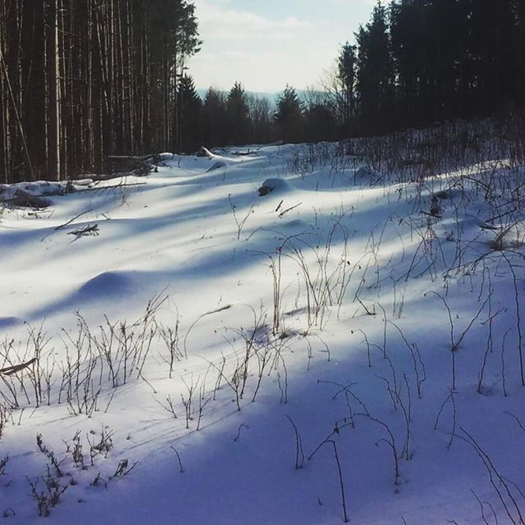
Enjoy it while it lasts