Windham Path 📍

The first phase of the Windham Path is a 1.5 mile loop accessed by a parking area on Route 23 and the second phase is a ½ mile section that connects the business area of South Street and Route 296 to the first phase loop. The Windham Path provides the only public access to the Batavia Kill stream in Windham and meanders through meadows and woodlands and across bridges providing fantastic views of the Great Northern Catskills. Make a point to take a break during your ride or walk to enjoy the gem of the Windham Path, the magnificent and picturesque covered bridge that spans the Batavia Kill stream. https://www.greatnortherncatskills.com/outdoors/windham-path

🖼️ Photos
Map: Sand Lake

The Windham Path

The Windham Path is a nature trail outside of Windham that is stone dust covered and offers scenic views of the peaks around Windham.

Saturday September 11, 2021 — Windham Path
Map: Goldsmith Road

Cave Mountain

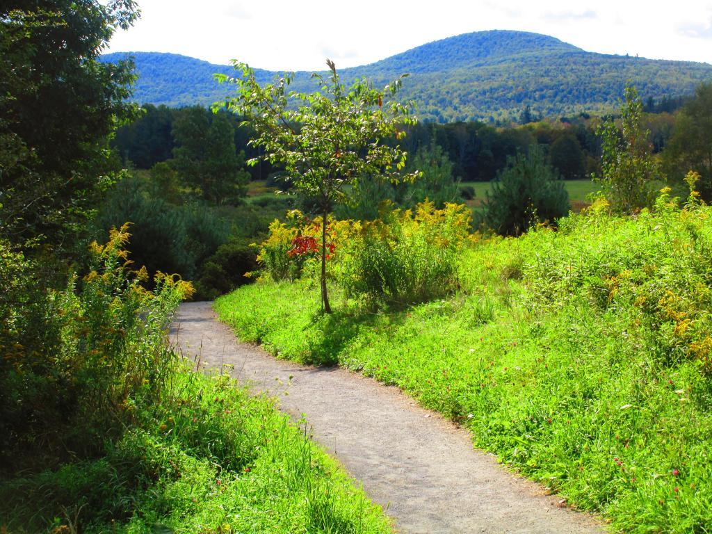
The fields of the Windham Path offer dramatic views of Cave Mountain and other hills surrounding Windham.

Saturday September 11, 2021 — Windham Path
Map: Crystal Lake

Japenese Knotweed

It's really out of control along the banks of the Batavia Kill in Windham. It's bad news.

Saturday September 11, 2021 — Windham Path
Thematic Map: Percent of Employment as Fast Food Workers

Bale

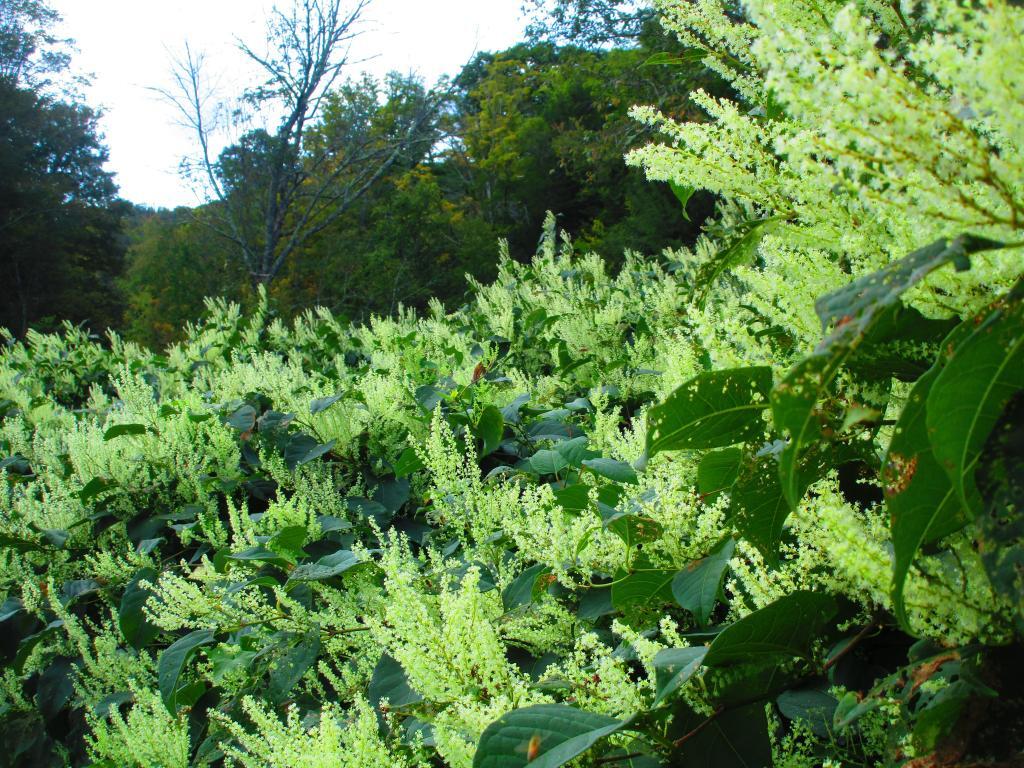
One of the many scenic views along the Windham Path.

Saturday September 11, 2021 — Windham Path
Thematic Map: Agriculture in New York
Map: Spy Lake