Whitehall is a town in Washington County, New York, United States. It is part of the Glens Falls Metropolitan Statistical Area. The town population was 4,035 at the 2000 census.
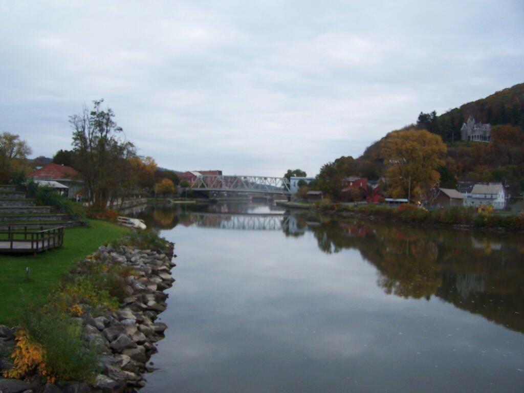
The north town line is the border of Vermont. The Champlain Canal passes through the west part of the town. The South Bay of Lake Champlain forms part of the west town line.
Conjoined US Route 4 and NY Route 22 form a north-south highway through Whitehall. US-4 turns east at Whitehall village, where NY-22 turns west to the Town of Dresden.