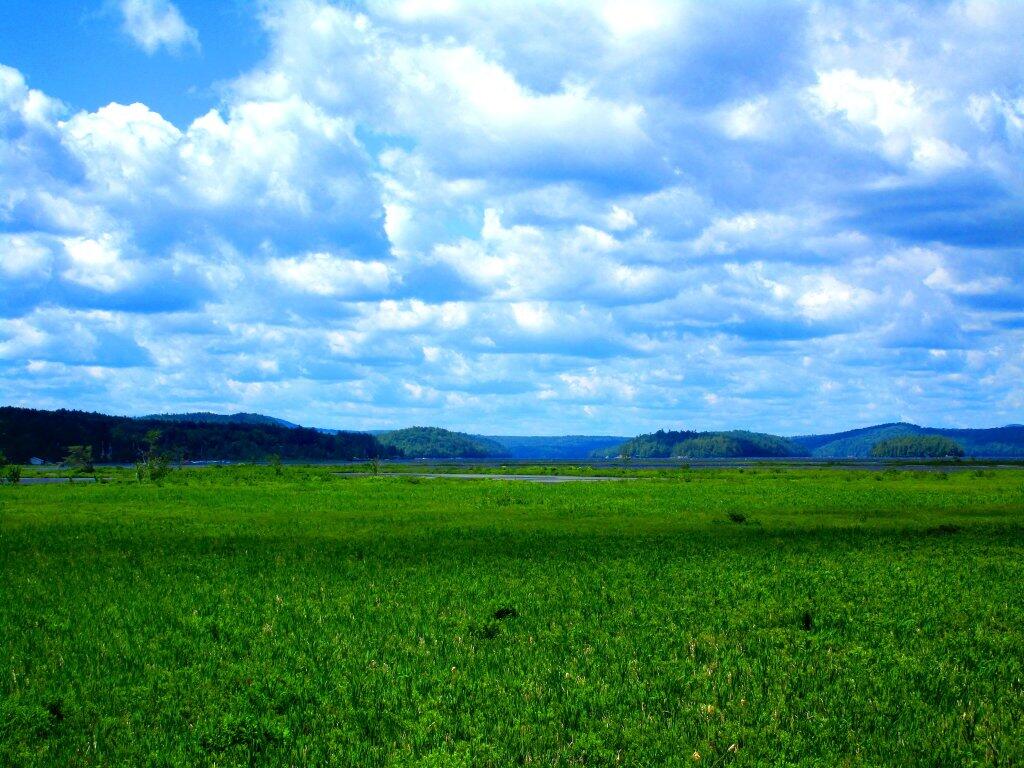
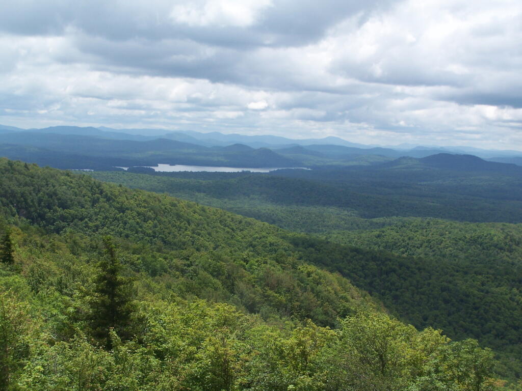
West Across The Lake
Driving up NY 30, I stopped for a while and took in this view of Tupper Lake.
Thursday June 25, 2020 — Tupper Lake — Deer Pond Loop 🗺 — Tupper Lake (North) 🗺— PDF with All Maps 📚
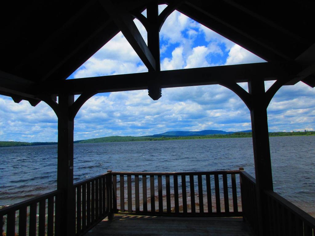
Driving up NY 30, I stopped for a while and took in this view of Tupper Lake.
Thursday June 25, 2020 — Tupper Lake — Deer Pond Loop 🗺 — Tupper Lake (North) 🗺— PDF with All Maps 📚


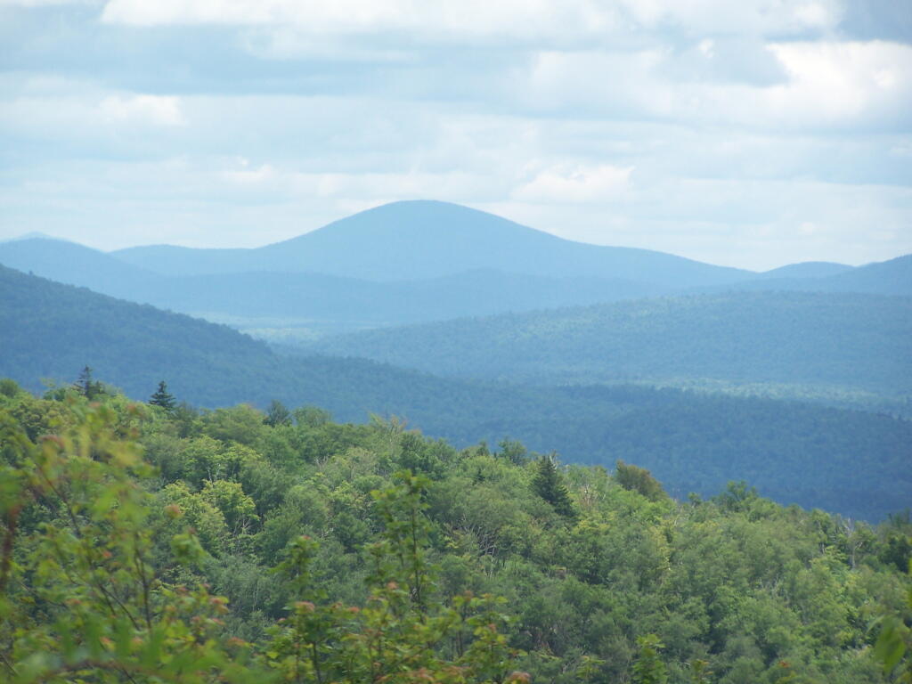
I could be wrong on this though. It does look a lot like Blue Mountain from here, but I was pretty far north at Mount Arab.
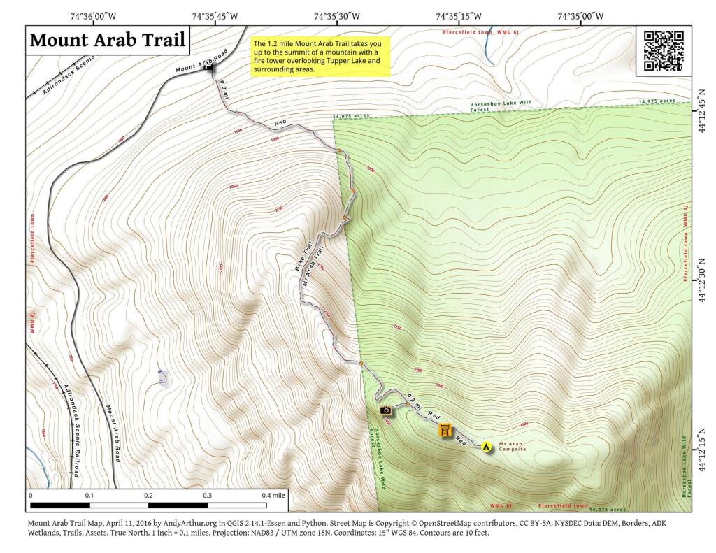
Friday July 1, 2011 — Mount Arab — Mount Arab Trail 🗺