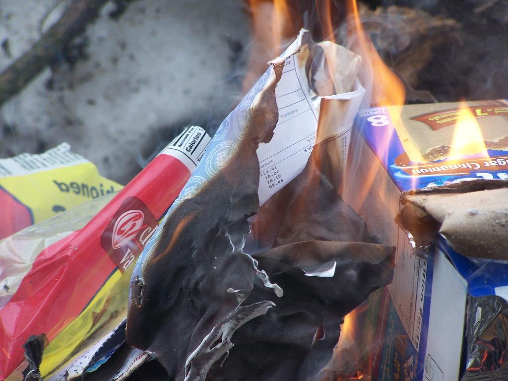
Cookies Box Go Up in Smoke
Just cleaning up some of the trash I generated from camping out the past night.
Sunday March 21, 2010 — Fire
Just cleaning up some of the trash I generated from camping out the past night.
Sunday March 21, 2010 — Fire


The milk jug further blackens in this picture, as the flames start to melt it down further.
Sunday August 15, 2010 — Fire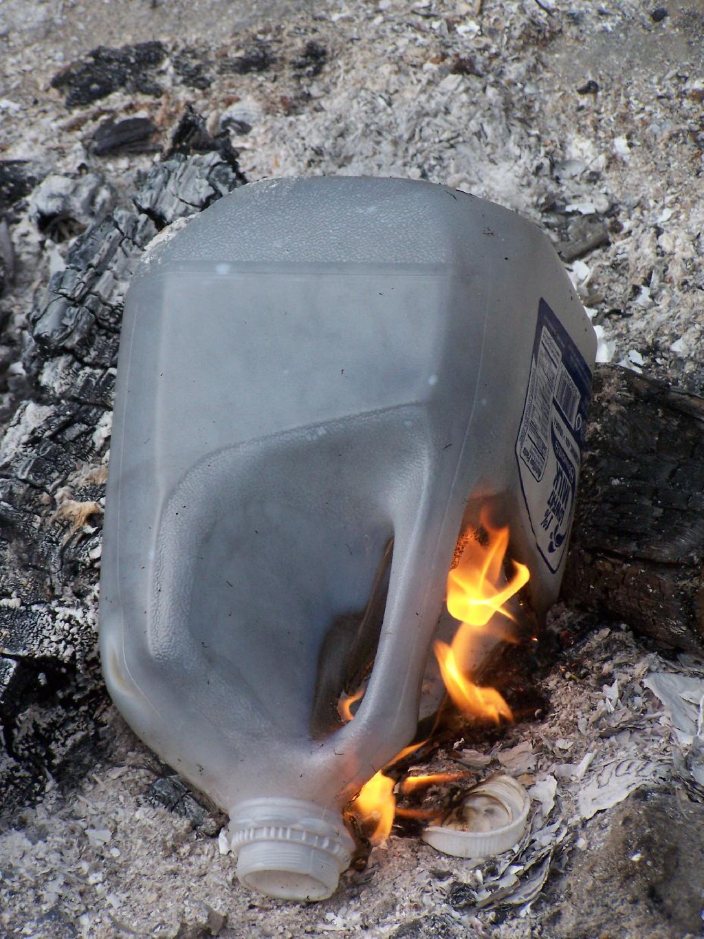


Prior to heading up to Cotton Hill Lean-To I grabbed a bunch of scraps out of the paper recycling bin at my apartment for fire starting. I didn't want to leave a pay stub with other paper I brought up to the lean-to, so it went up with the rest of the camping trash.
Sunday March 21, 2010 — Fire