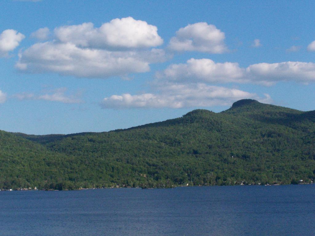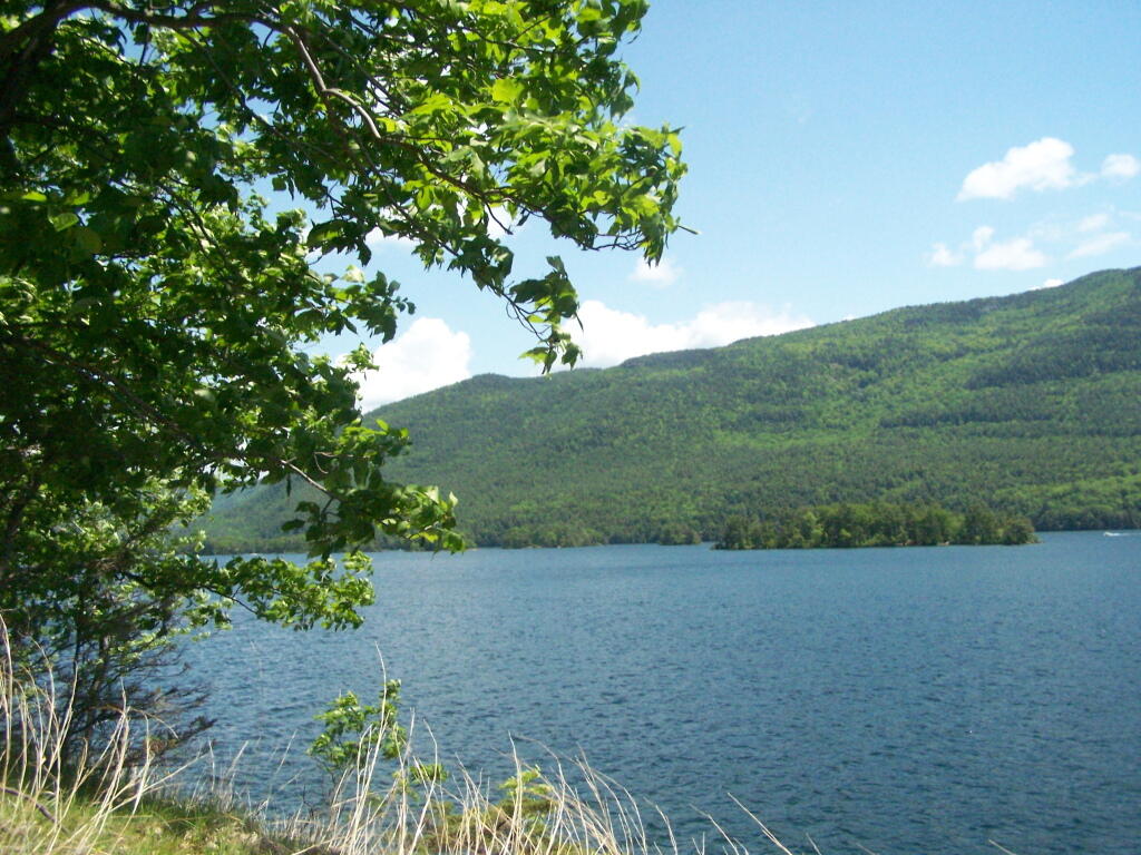
Down at Five Mile Point
Below Five Mile Mountain, some 2500 feet lower, is a place known as Five Mile Point. A picture I took when I reached that location.
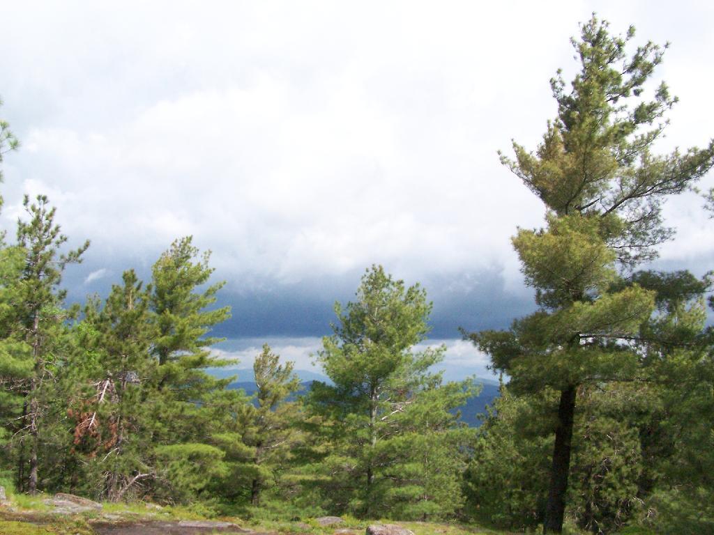
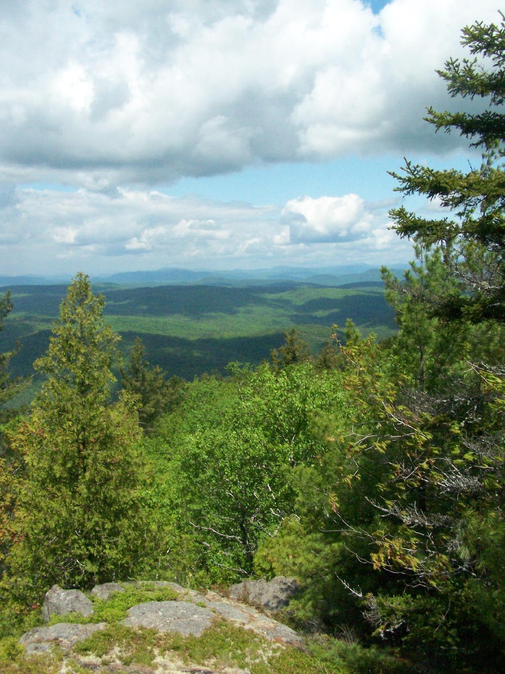
Saturday May 30, 2009 — Tongue Mountains — Five Mile Mountain And Deer Leep 🗺 — Tip Of Tongue Mountain 🗺— PDF with All Maps 📚