Taylor Pond Wild Forest 📍
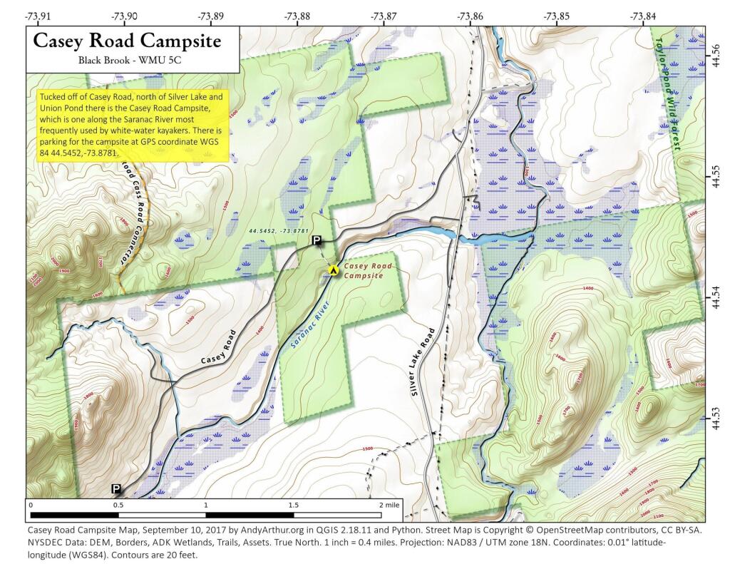
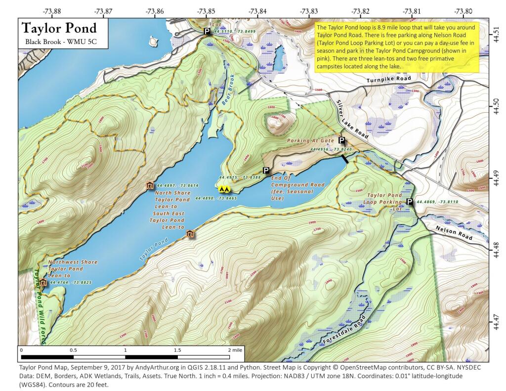
🗺️ Maps

Taylor Pond
Even if you don't camp at the Taylor Pond Campground, there is a lot you can do at Taylor Pond from hiking to paddling to camping at the numerous free lean-tos and primitive campsites along the lake.

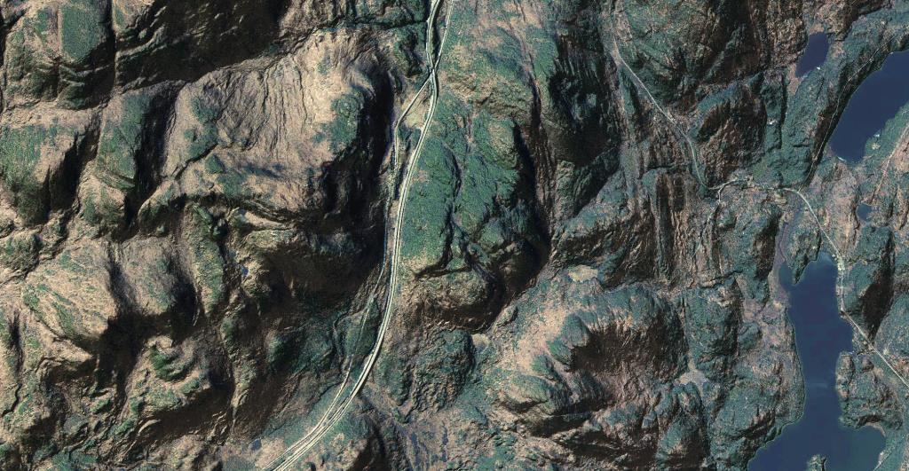
Pok-o-Moonshine
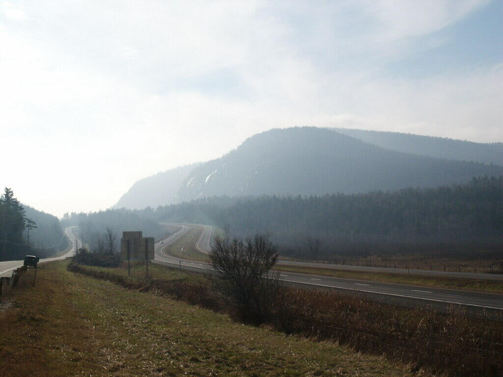
Pok-o-Moonshine with the Adirondack Northway running along it in the Northern Adirondacks.

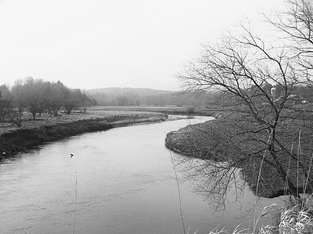
Boquet River

Pok-o-Moonshine from Northway