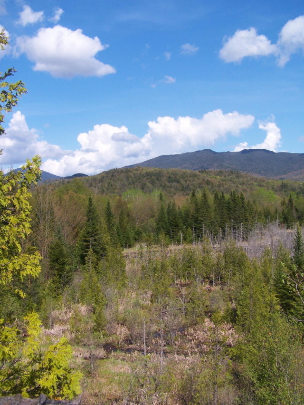
East Towards High Peaks
Taken from Tahawus Road, up top of the mine tailings pile where the road ends, right before getting to the gate to the mine that is post off limits.
Saturday May 21, 2011 — Tahawus
Taken from Tahawus Road, up top of the mine tailings pile where the road ends, right before getting to the gate to the mine that is post off limits.
Saturday May 21, 2011 — Tahawus


This picture gives you a more realistic view of what the tailings pile road looks like, when your not trying to make everything look all purty.
Saturday May 21, 2011 — Tahawus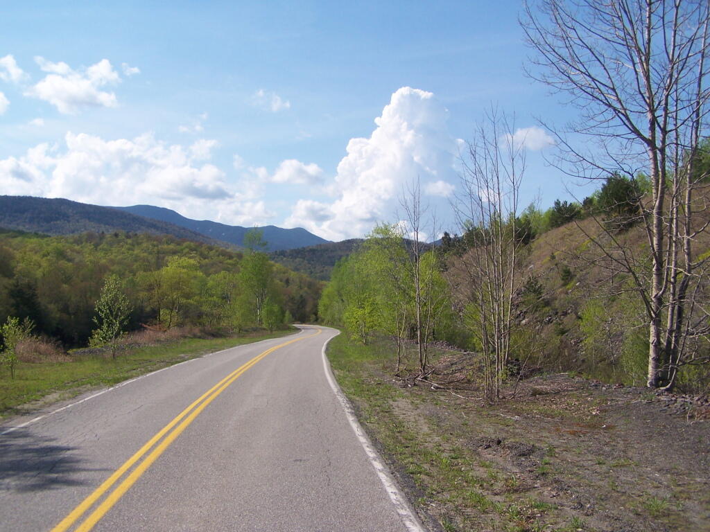

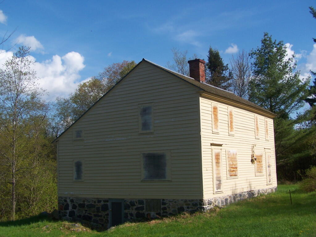
While most the Village of Adirondack Buildings have long since collapsed and been forgotten, this one Salt Box -- maybe the old School House, was preserved.
Saturday May 21, 2011 — Tahawus