Before Dawn
Getting going much too early in the morning, getting ready to head down to Pennsylvania.
Monday November 8, 2010 — Sugar Hill State Forest — Sugar Hill State Forest 🗺
Getting going much too early in the morning, getting ready to head down to Pennsylvania.
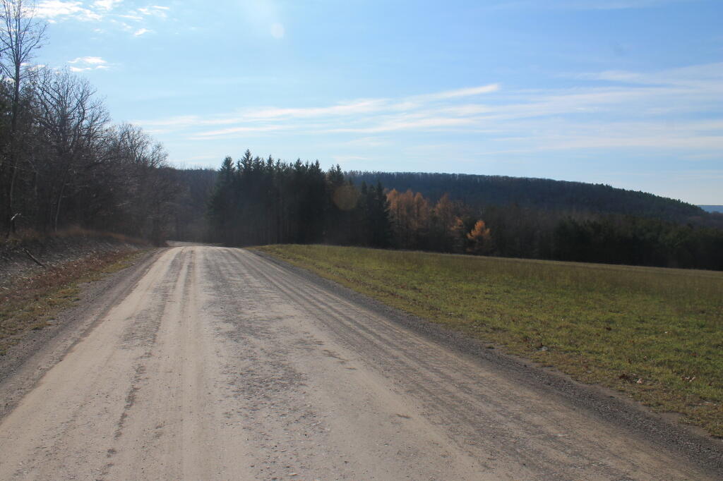
Monday November 8, 2010 — Sugar Hill State Forest — Sugar Hill State Forest 🗺

County Route 16 near Monterey is just south of Sugar Hill State Forest / Camp Monterey.
Monday November 8, 2010 — Sugar Hill State Forest — Sugar Hill State Forest 🗺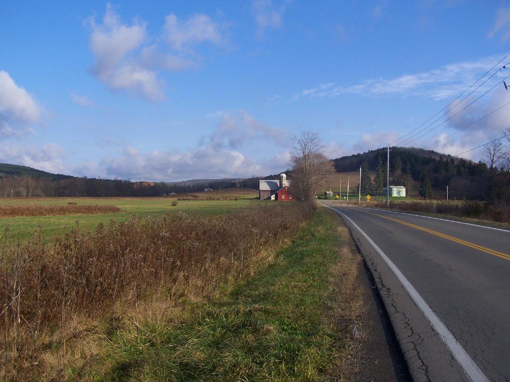

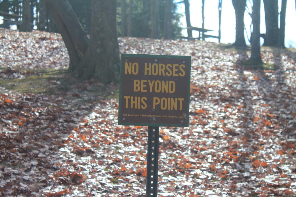
Picnic area.
Sunday November 11, 2012 — Sugar Hill State Forest — Sugar Hill State Forest 🗺