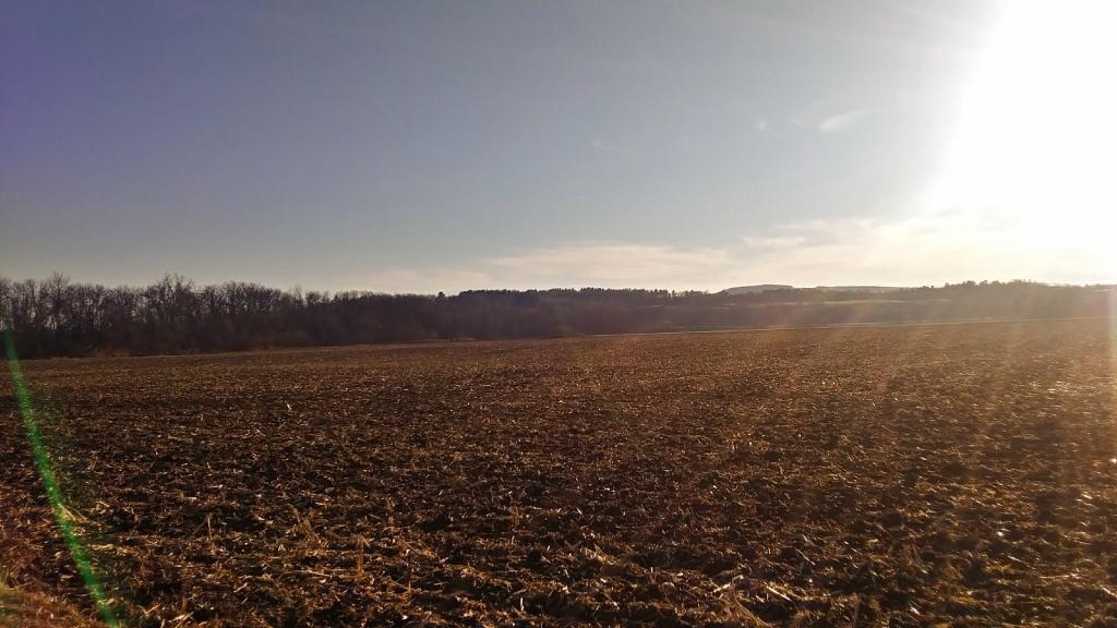
Rich soils of the lands along the Schoharie


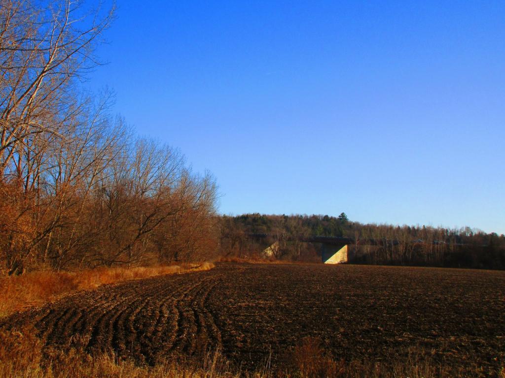
They seem to be constantly swapping these bridges.
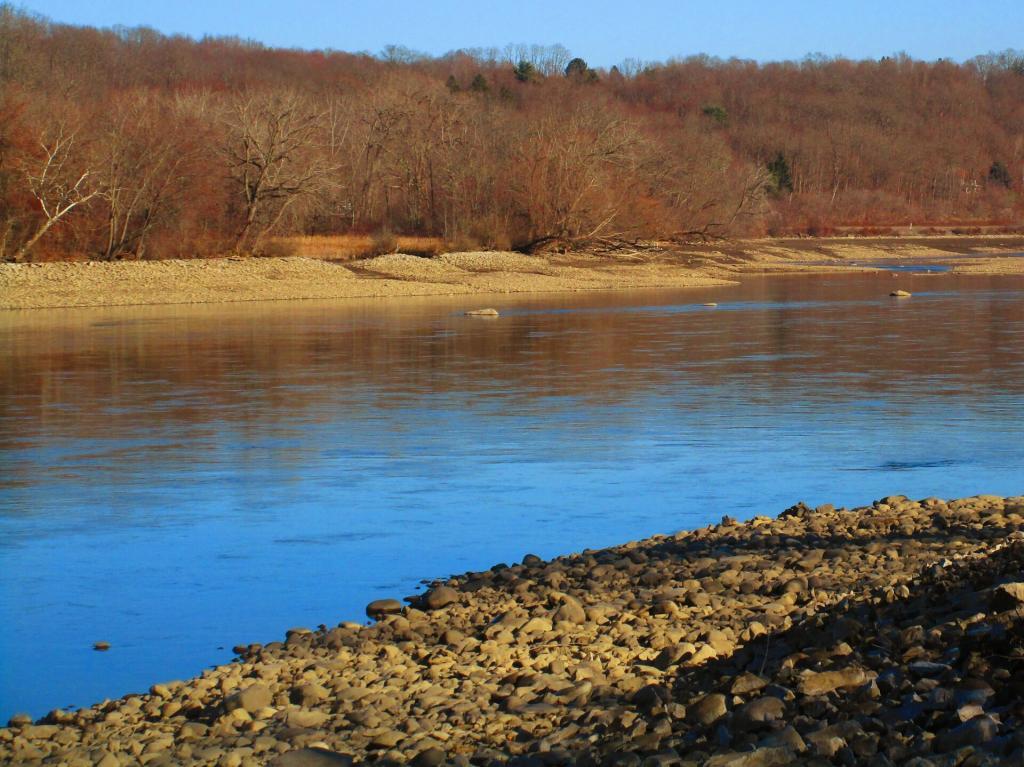
Sunday November 29, 2020 — Schoharie Crossing Historic Site

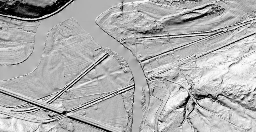
On this LiDAR you can clearly see the original Erie and Enlarged Canals even in places like the farm where it might not be visible today.