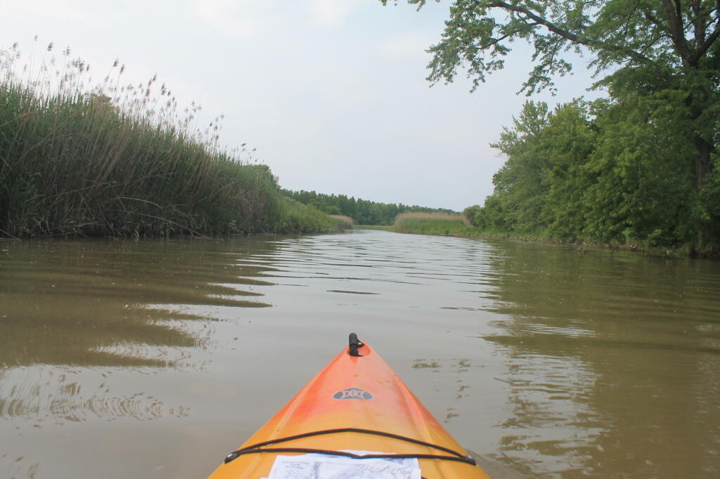
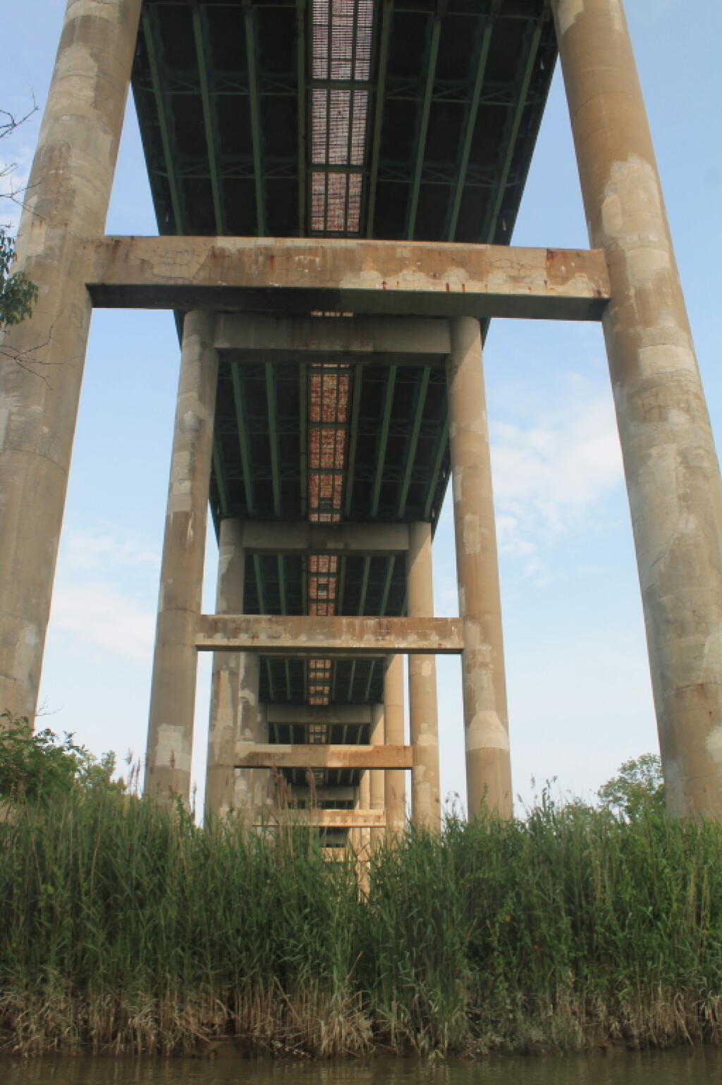
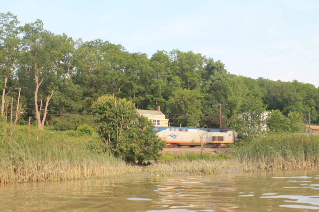
Schodack Creek 📍

Offering paddling for several miles along the Hudson River, area turns to mud-flats in low tide, and a muddy brown that is paddle-able in high tide.

🖼️ Photos
Map: Green Mountain National Forest North
Terrain Map: Light Pollution New York March 2024
Map: Wilcox Lake - Willis Lake Trail
SVGZ Graphic: BMI of Americans
Thematic Map: Voting Machines in Use in New York State