Pixley Falls State Park is located off NY Route 46 in Oneida County, New York, 18 miles north of Rome and six miles south west of Boonville, by the community of Hurlbutville.
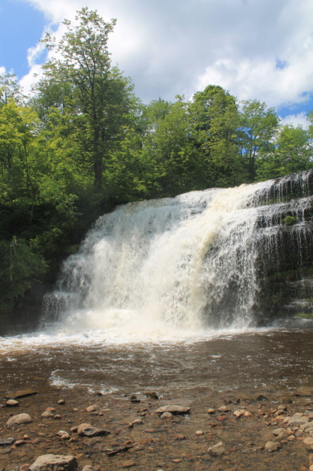
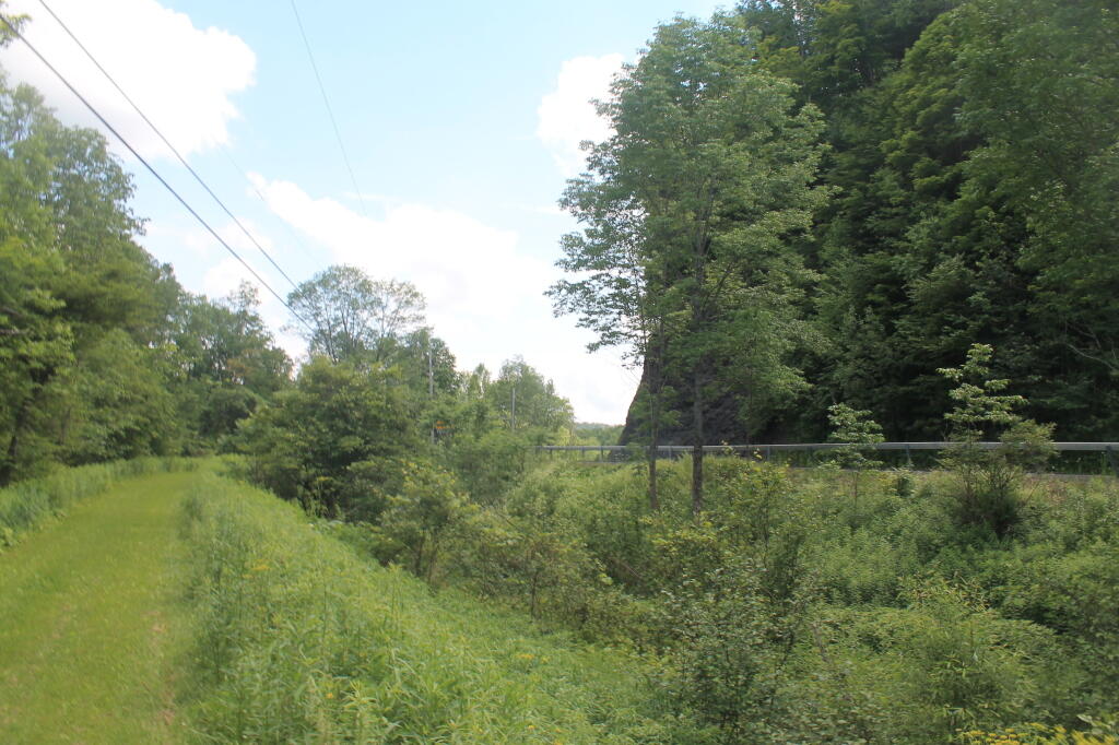
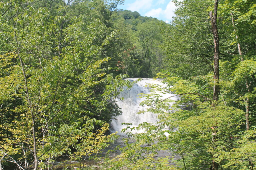
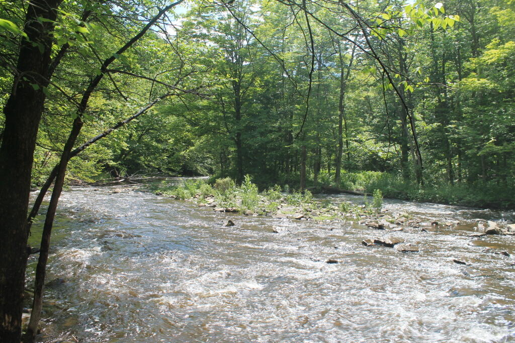
Open all year, the 375 acre (1.5 km2) park gets its name from a beautiful 50-foot waterfall, accessible via a short hiking trail. The park offers picnicking, a nature trail, hiking, fishing, hunting (in deer season), and cross country skiing. This parkland has steep, wooded hills, a mountain trout stream, and an eight-mile cross-country ski trail that runs along the ruins of the 19th-century Black River Canal.
The park became a day-use park (camping no longer permitted) in 2010.