Photo.2013.03.10 15.06.04



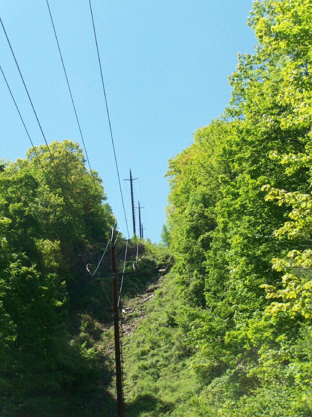
Looking west, it shows that it must have been quite steep for sure. None of the steel tracks from the old railroad remain, just an electric feeder line for Tannersville climbs the mountain here.
Monday May 25, 2009 — Palenville Overlook