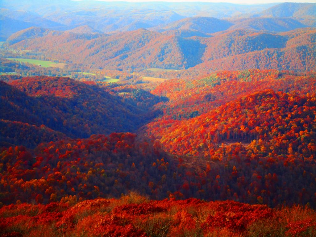
Olson Firetower View
Looking northeast from the Olson Firetower northeast of Parsons.
Thursday October 26, 2023 — Olson Firetower
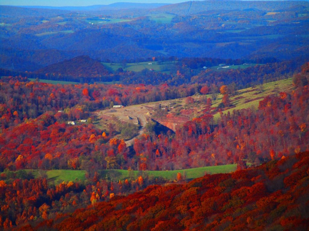
Looking northeast from the Olson Firetower northeast of Parsons.
Thursday October 26, 2023 — Olson Firetower

You might think the this area looks remarkably flat, but looks can be deceiving from the Olson Firetower which is on Backbone Mountain at 3,650 feet.
The range in the distance is the Allegheny Front (the Eastern Continental Divide), indeed it tops out at above 4,200 feet elevation with Petersburgh on the east side beyond it only about 1,000-1,500 feet elevation. The west side of Allegheny Front isn't as big of a drop, but the Canaan Valley is still only 3,200-3,500 feet elevation.
In the middle you can see the smoke stacks of the Mount Storm Coal Power Plant, the largest in the northeastern West Virginia which is a major electricity source for the Greater Washington DC area.
Thursday October 26, 2023 — Monongahela National Forest — Blackwater Canyon Trail 🗺 — Forest Road 13 Informal Camping Opporunities 🗺 — Monongahela National Forest 1:24k Topographic Map Index 🗺 — Olson Fire Tower 🗺— PDF with All Maps 📚
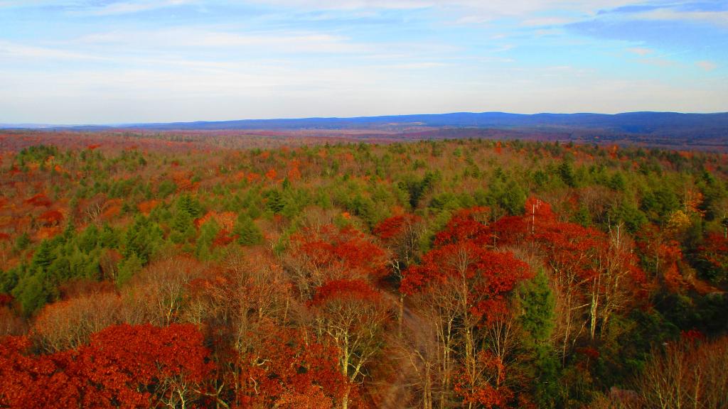

Montrose is a tiny little hamlet, like many in West Virginia, nestled in-between the hills, as seen from the Olson Firetower.
Thursday October 26, 2023 — Olson Firetower