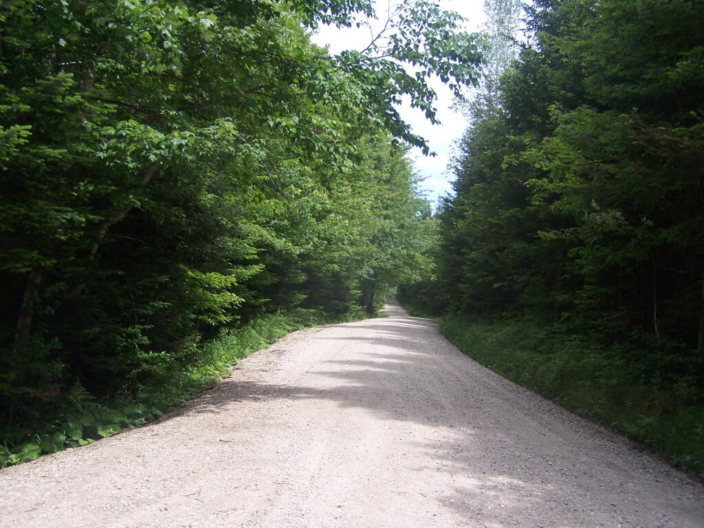
Recently Resurfaced Forest Road 71
Paid for by Stimulus Dollars. Money actually used for a good purpose.
Sunday June 19, 2011 — Forest Road 71 - Somerset Airfield Rd

Paid for by Stimulus Dollars. Money actually used for a good purpose.
Sunday June 19, 2011 — Forest Road 71 - Somerset Airfield Rd

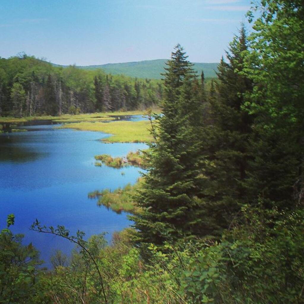

Forest Road 71 was much wider and straighter then Kelley Stand Road, although much quieter with less traffic. Many nice roadside campsites along this road.
Saturday June 18, 2011 — Forest Road 71 - Somerset Airfield Rd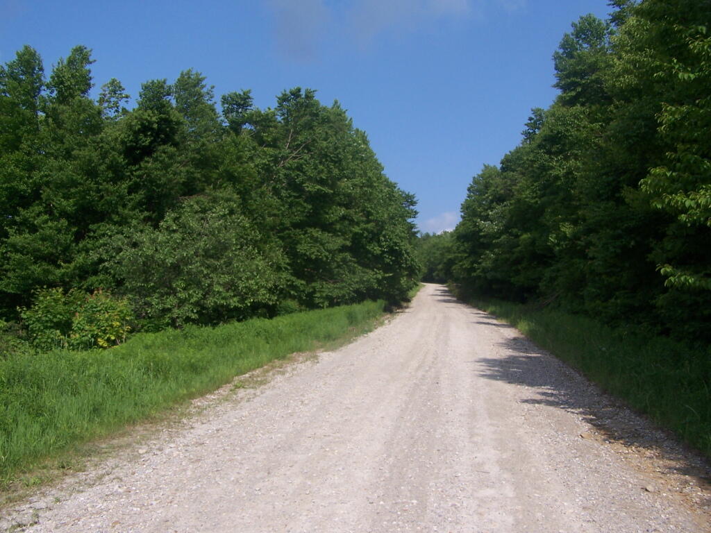

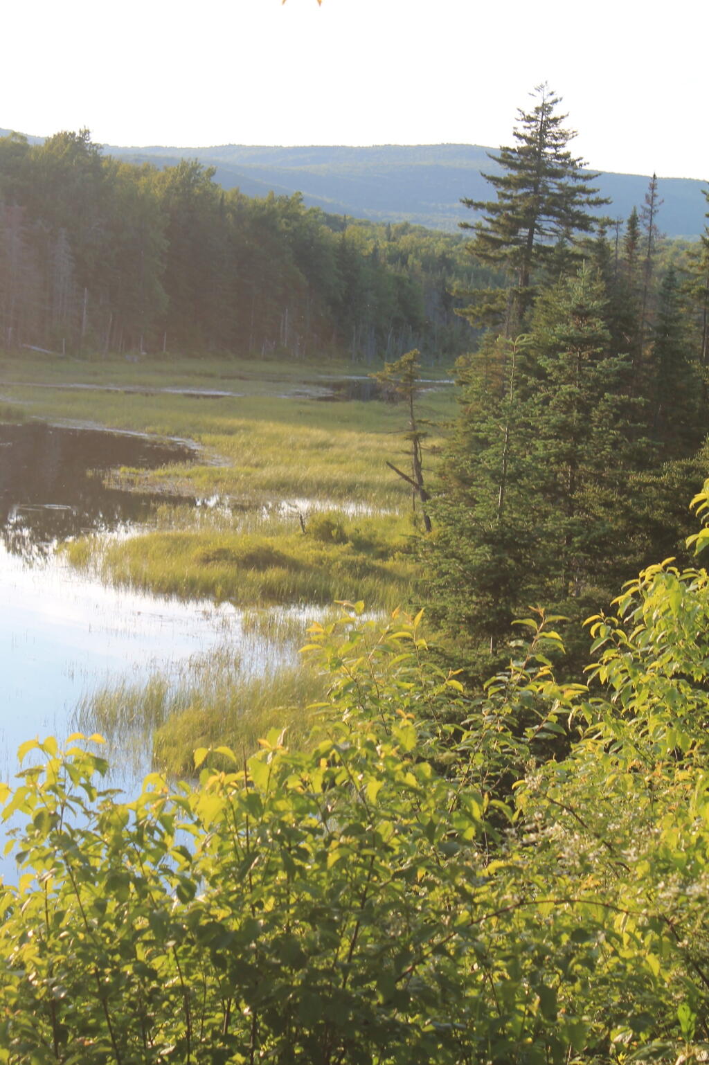
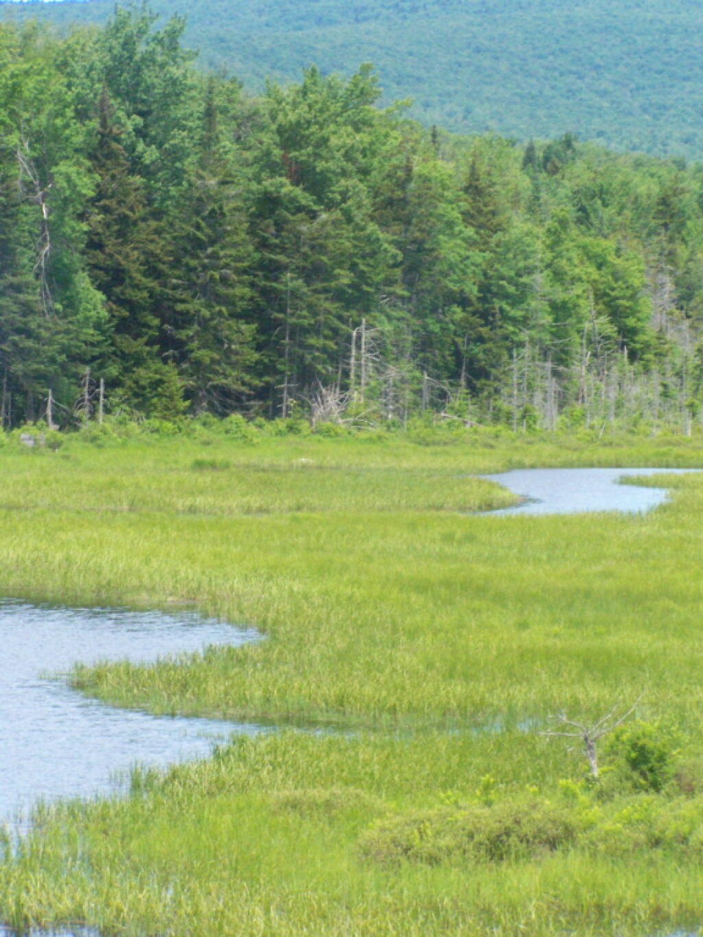
This is a very marshy and open place, near where the Deerfield River comes closer to Forest Road 70.
Sunday June 19, 2011 — Forest Road 71 - Somerset Airfield Rd