Washburn Mountain
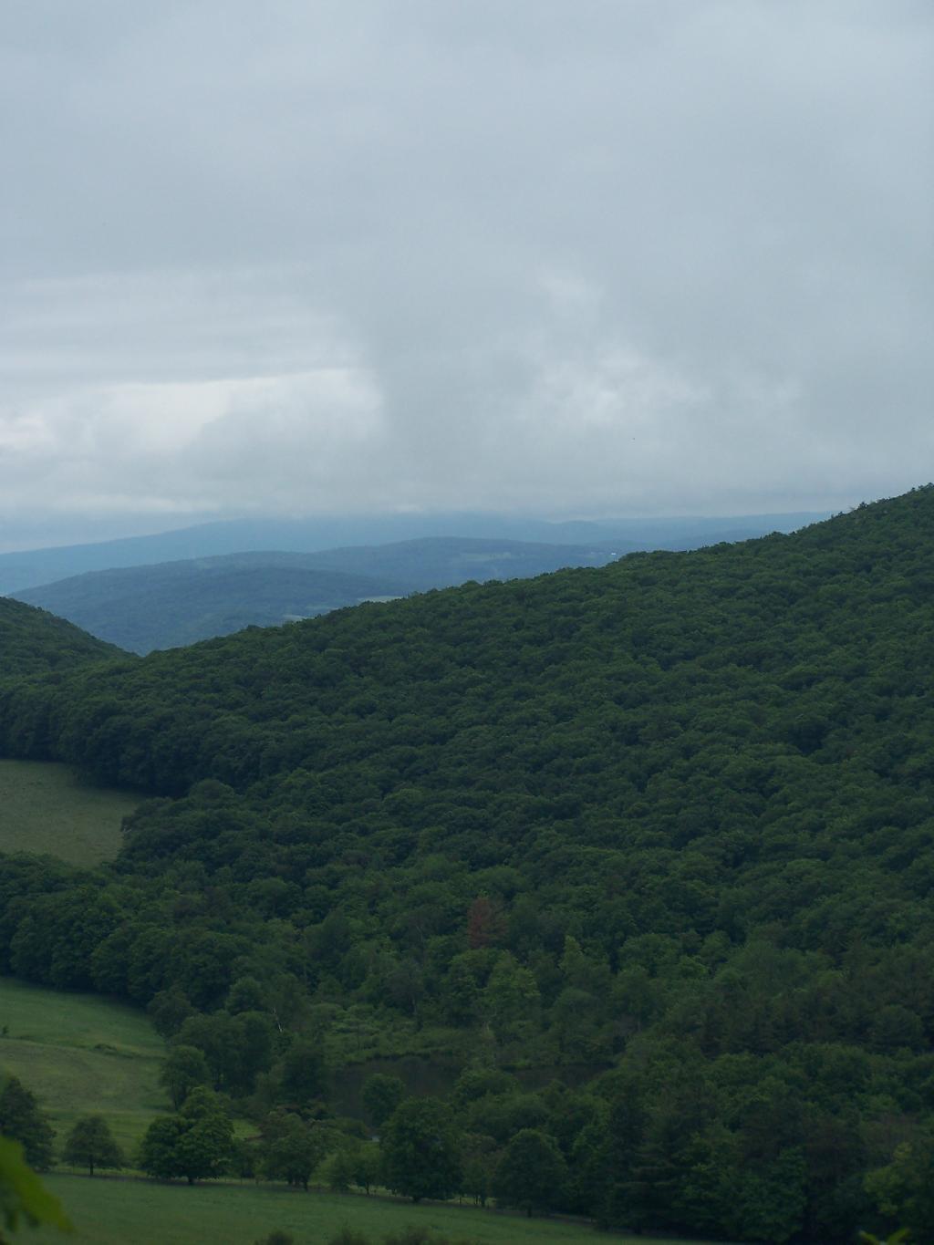
It wasn't really raining by about 10 AM, but it still was foggy with heavy clouds, looking south of Washburn Mountain from Bash-Bish Mountain.
Sunday June 14, 2009 — Bash Bish Falls

It wasn't really raining by about 10 AM, but it still was foggy with heavy clouds, looking south of Washburn Mountain from Bash-Bish Mountain.
Sunday June 14, 2009 — Bash Bish Falls

All that rain turned the Sunset Rock Trail into more of a stream then a hiking trail. It wasn't all that eroded or steep in this section, just very wet.
Sunday June 14, 2009 — Bash Bish Falls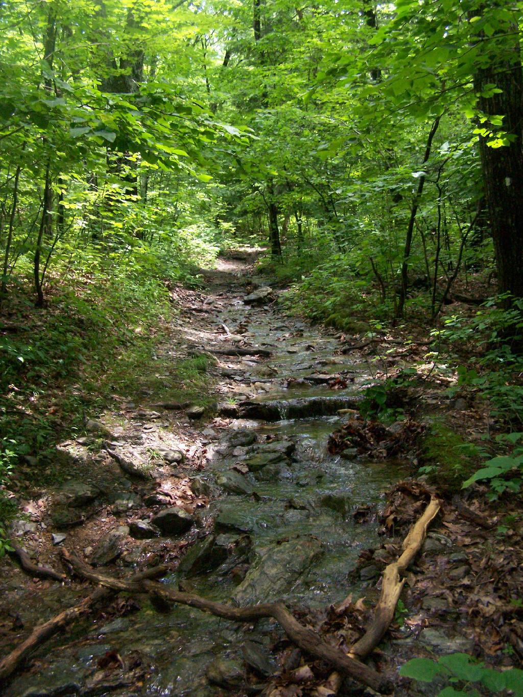

From Sunset Rock. Those are the Catskills in the background. By 1 PM it had cleared out quite nicely with minimal haze, at least for New York State.
Sunday June 14, 2009 — Bash Bish Falls

Watching the rain come down from Bash Bish Mountain.
Sunday June 14, 2009 — Bash Bish Falls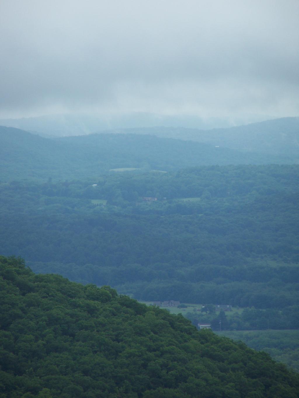

Already by about 10:15 AM it was clear that the weather was starting to clear out.
Sunday June 14, 2009 — Bash Bish Falls
