To Sunset Rock
The sign is helpful, because there are a couple of directions of trails and sunset rock is not directly visible from the South Taconics Trail.
Sunday June 14, 2009 — Bash Bish Falls

The sign is helpful, because there are a couple of directions of trails and sunset rock is not directly visible from the South Taconics Trail.
Sunday June 14, 2009 — Bash Bish Falls

If you take the main South Taconic trail up or down from Sunset Rock, it's a much easier hike then Cedar Creek, especially when it was as flooded as it was during my hike.
Sunday June 14, 2009 — Bash Bish Falls

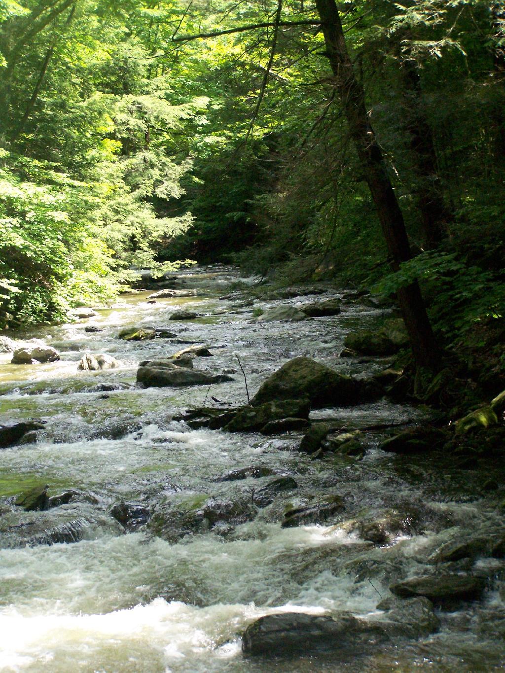
The water was really flowing in the creek after the morning's rain.
Sunday June 14, 2009 — Bash Bish Falls