Mount Greylock 📍

At 3,491 feet, Mount Greylock is the highest point in Massachusetts. Rising above the surrounding Berkshire landscape, dramatic views of 60-90 miles distant may be seen. It became Massachusetts’ first wilderness state park, acquired by the Commonwealth in 1898, to preserve its natural environment for public enjoyment. Wild and rugged yet intimate and accessible, Mount Greylock rewards the visitor exploring this special place of scenic and natural beauty.

http://www.mass.gov/eea/agencies/dcr/massparks/region-west/mt-greylock-state-reservation-generic.html

🖼️ Photos
Map: Green Mountain National Forest North
Map: Hudson River Special Management Area
Map: Lesser Wilderness State Forest

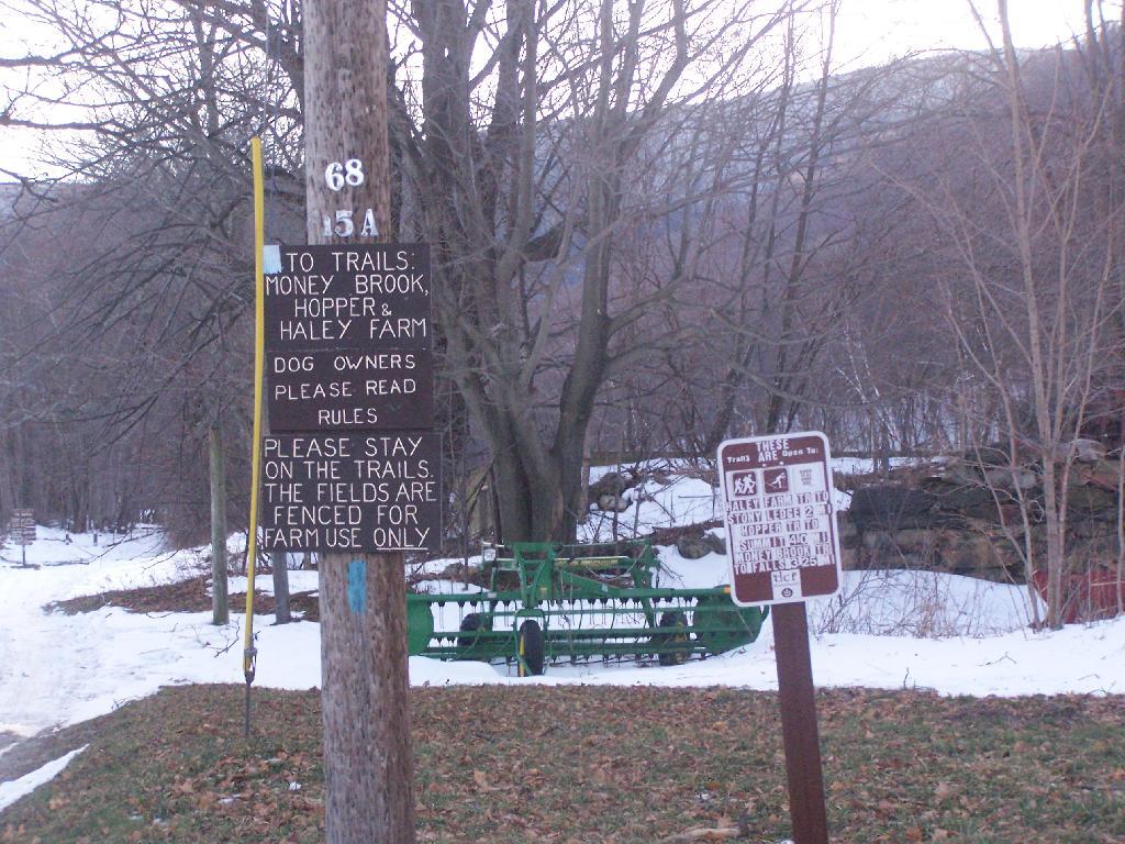
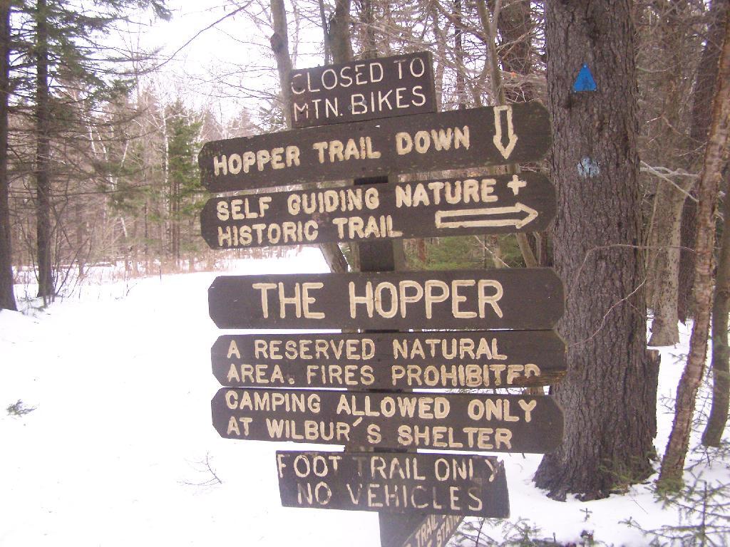
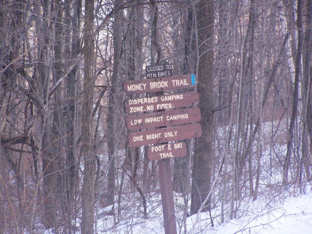
Hopper Trail to Summit Sign

This is an old woods road to campground, Mount Greylock Summit, and Stony Ledge, the later which I would visit on this particular day. Wish I had time to have visited the peak of Mount Greylock.

Sunday December 13, 2009 — Mount Greylock
Thematic Map: Speed Limit on Interstates and State Touring Routes in Capital Region
Map: Battery Diagram