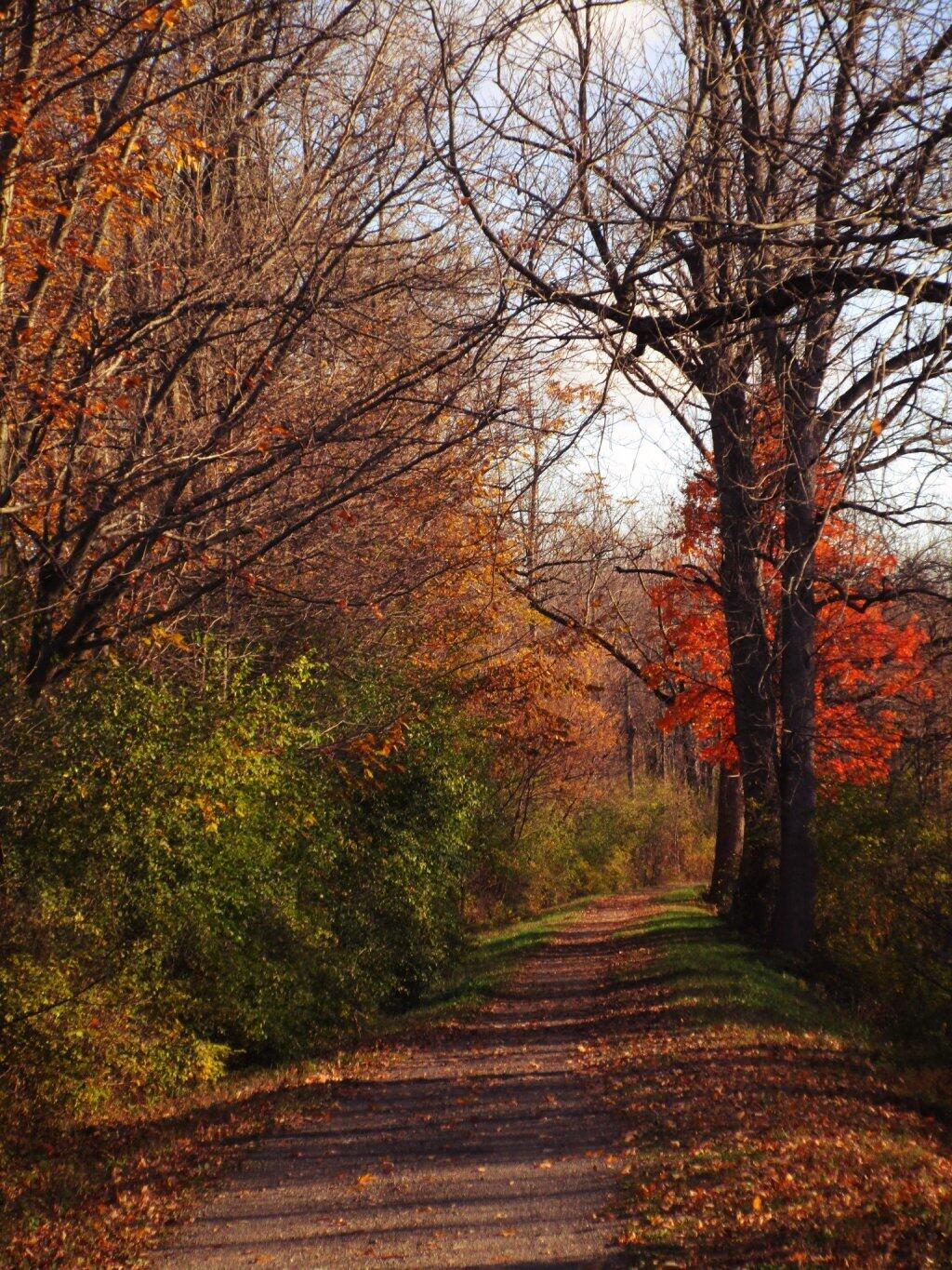
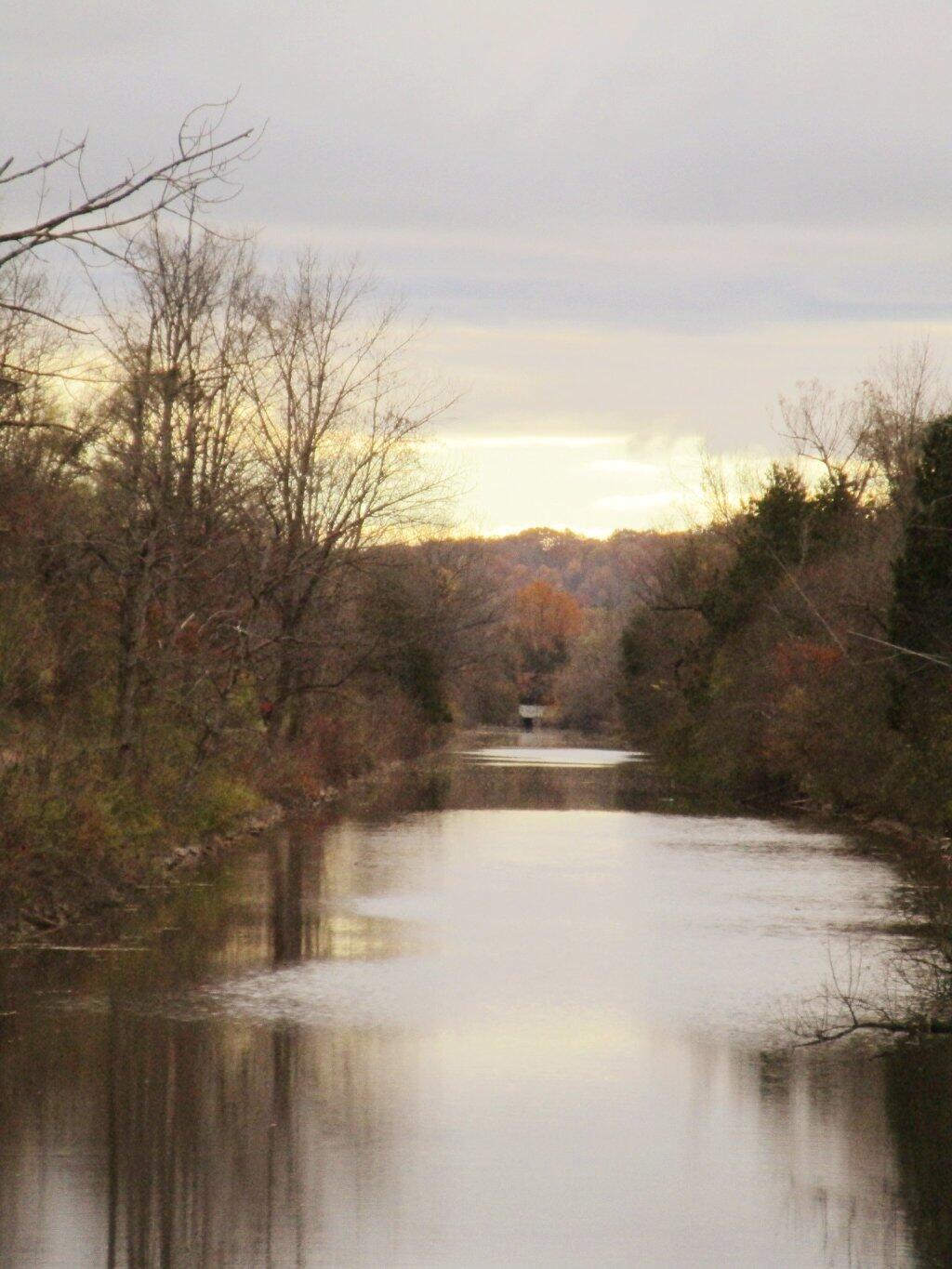
Old Erie Canal State Park is a 36-mile stretch of the 363-mile Old Erie Canal, which has been designated a National Recreational Trail by the National Parks Service. The terrain is woodland and wetland that present opportunities for hiking, picnicking, horseback riding, bicycling, canoeing, fishing, and snowmobiling. Several areas have footbridges that aid access to the canal towpath where visitors can view the remnants of stone aqueducts.