Another View of Waterfall


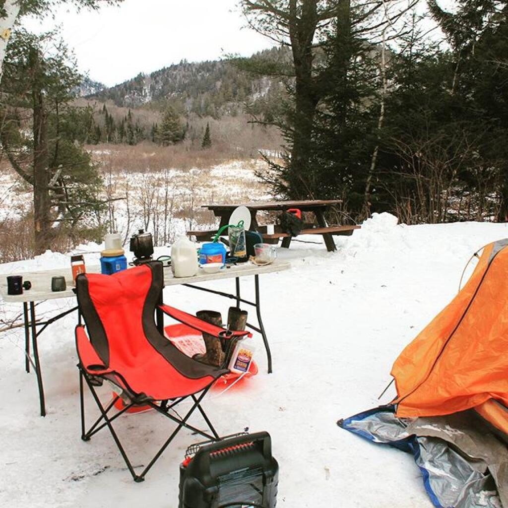
This campsite does not offer perfect privacy, although if there was not the dang snow everywhere, I guess one could camp where they where less visible, and rope off the driveway to site, with a rope and a styrofoam plate (as they do it in the Adirondacks).
Friday April 22, 2011 — East Branch Sacandaga River — Cod Pond Trailhead Camping Opporunities 🗺 — Eagle Pond Trail 🗺 — East Branch Gorge Trail 🗺 — East Branch Sacandaga River - NY 8 🗺 — Fox Lair Campsites 🗺— PDF with All Maps 📚

Looking forward to the snow melting and getting out camping once again. "Making a real smoke show as the sun sets on another damp afternoon at camp."

This should be helpful at locating various trail heads and locations along the East Branch Sacandaga River while using your cars odometer.