Warren County 📍

Warren County is a county in the U.S. state of New York. It is part of the Glens Falls, New York, Metropolitan Statistical Area. As of the 2010 census, the population was 65,707. It is named in honor of General Joseph Warren, an American Revolutionary War hero of the Battle of Bunker Hill.The county seat is Queensbury.

According to the U.S. Census Bureau, the county has a total area of 932 square miles (2,410 km2), of which 869 square miles (2,250 km2) consists of land and 62 square miles (160 km2) (6.69%) consists of water. Warren County is situated in the eastern portion of New York state; the eastern border is Washington County. Being located in the Adirondack Mountains, it is not uncommon for mountain peaks to surpass 2,000 feet (610 m). The highest peak in the county is Gore Mountain at an elevation of 3,198 feet (975 m).

http://en.wikipedia.org/wiki/Warren_County,_New_York

🗺️ Maps
Map: Severence Hill Trail
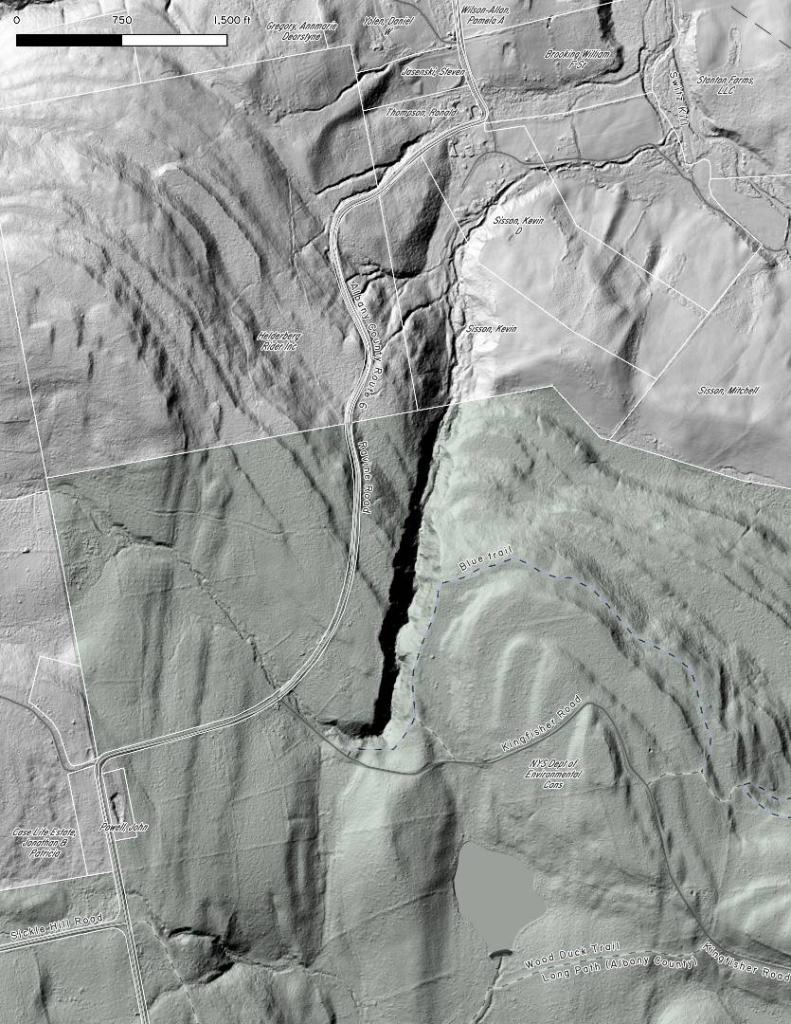
Terrain Map: The Gulf at Partridge Run - LIDAR Digital Surface Model
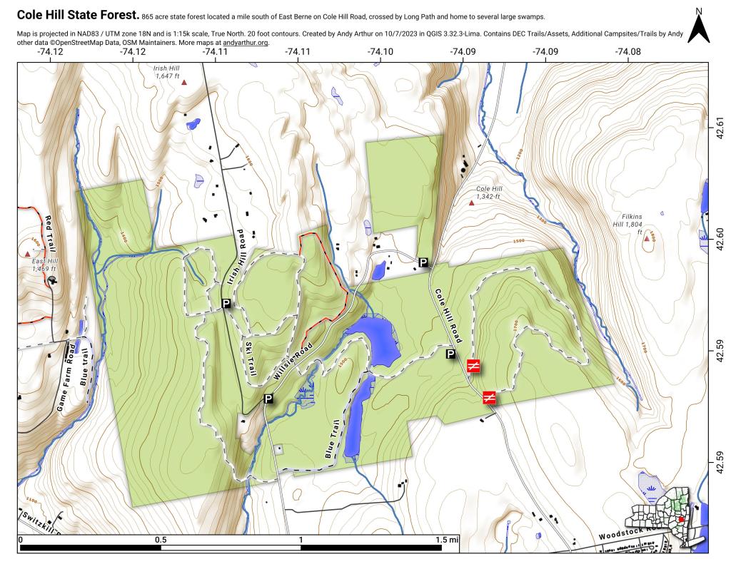
Map: Cole Hill State Forest
Map: Gilman Lake

Wilcox Lake – Willis Lake Trail

The Willis-Wilcox Lake Trail is a 3 mile walk back from Pumpkin Hollow Road outside of Wells. A quiet trail, it's relatively flat with some up and down over the col of Cattle Mountain and then over part of Wilcox Mountain. Part of the trail follows an old woods road, other sections follow the Wilcox Outlet Stream.
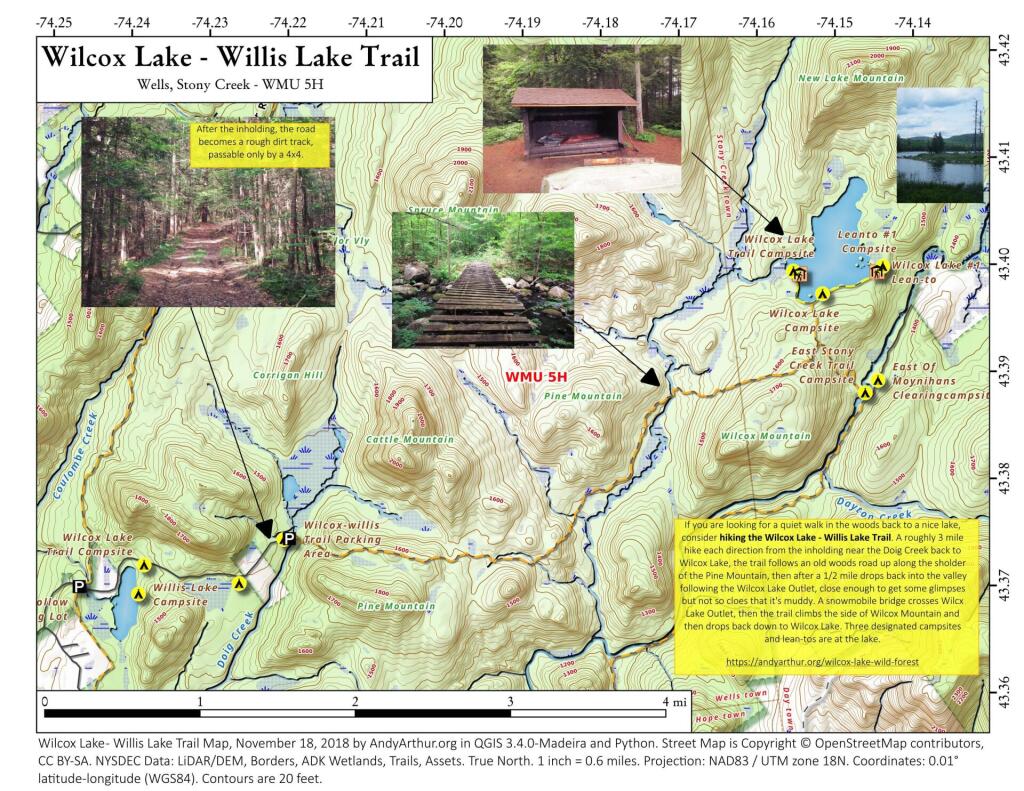
 Wilcox Lake - Willis Lake Trail

Map: Empire State Color Relief