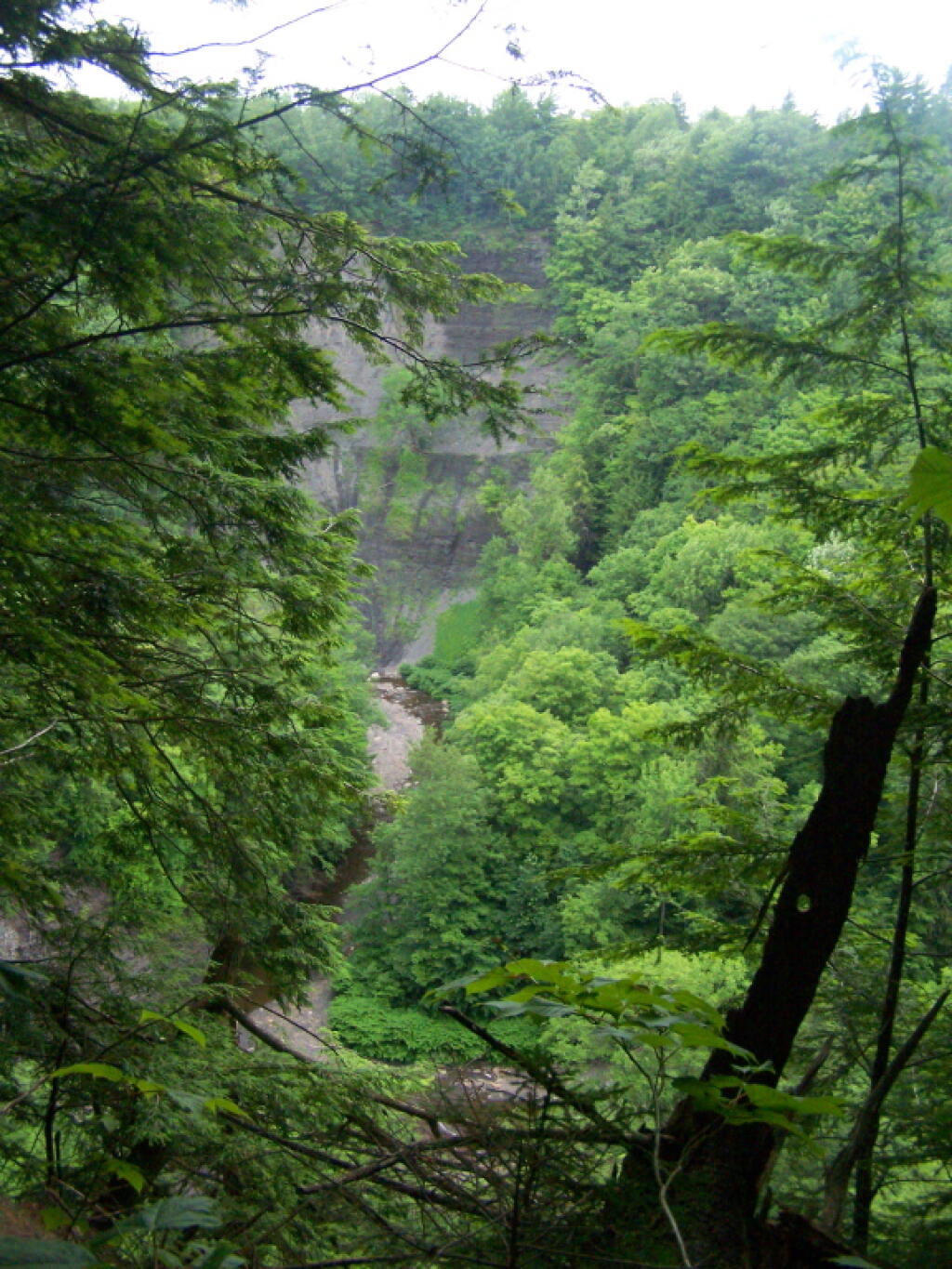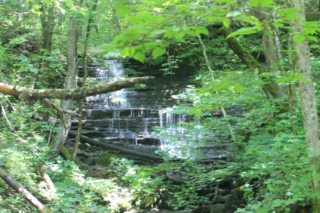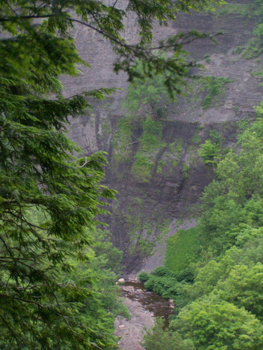
Inside the Gulf


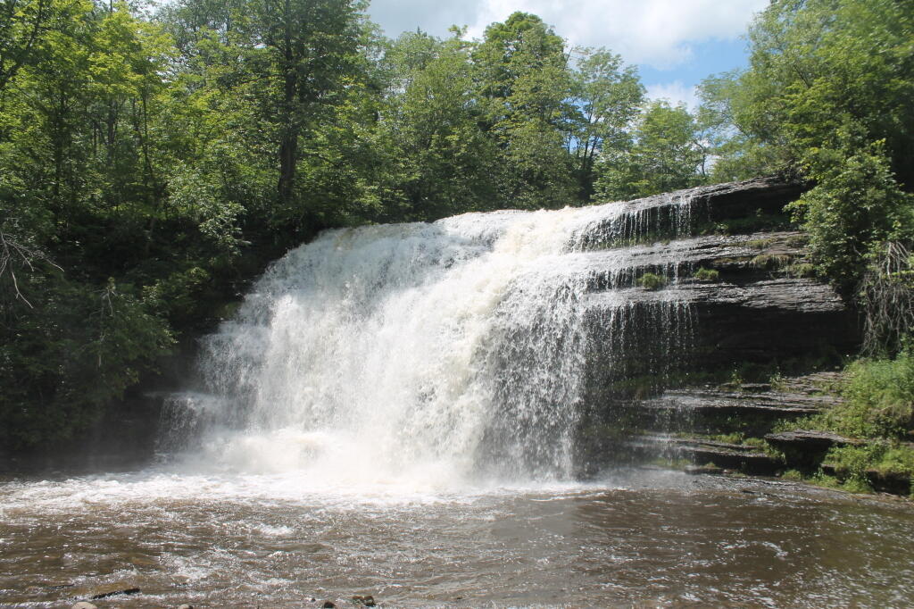

So many darn trees made it hard to see well into the valley, and the skies where pretty gray and wet.
Wednesday June 29, 2011 — Tug Hill State Forest — Tug Hill State Forest (Inman Gulf Area) 🗺 — Tug Hill State Forest (North) 🗺— PDF with All Maps 📚