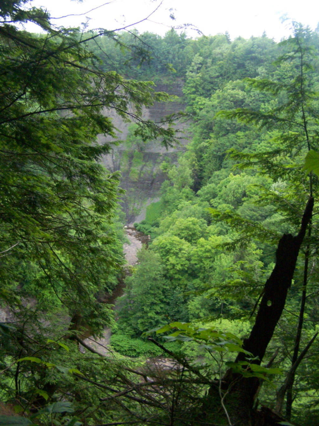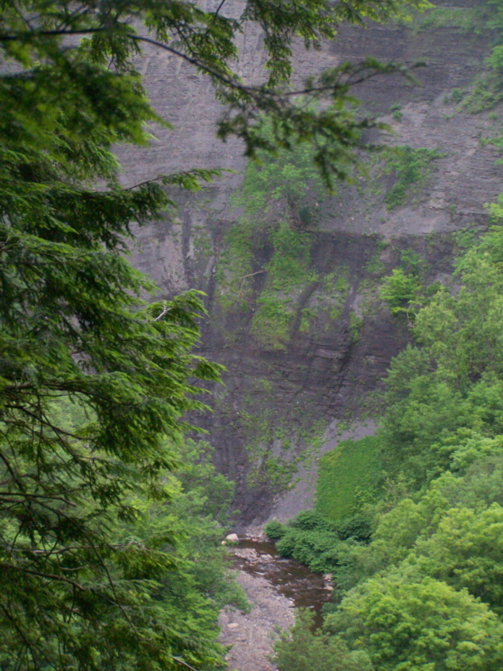
Inside the Gulf

Continuing to play with the Leaflet layers and CSS to use the multiply effect to create beautiful overlays of LiDAR and other digital elevation models for blog maps.
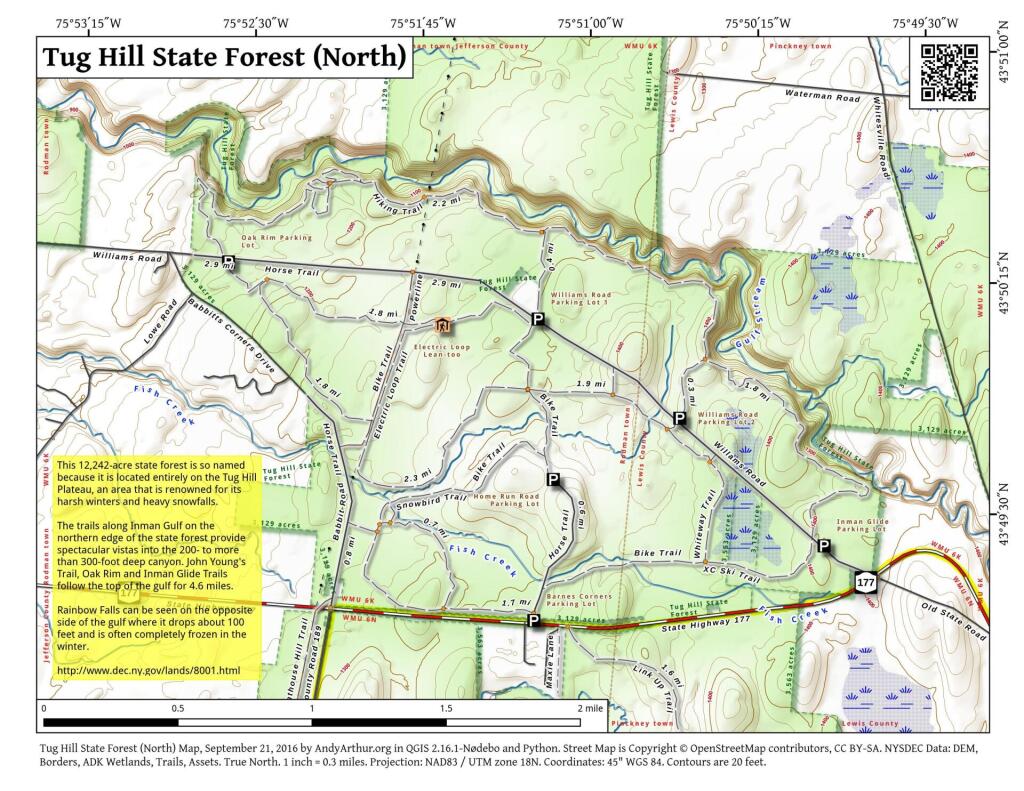
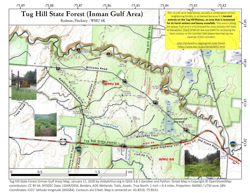
This 12,242-acre state forest, actually a combination of four neighboring forests, is so named because it is located entirely on the Tug Hill Plateau, an area that is renowned for its harsh winters and heavy snowfalls. This area is along the Inman Trail and is criss-crossed by cross country skil trails in the winter, many of which are nice trails for accessing the back country in the summer (the power line trail can be swampy in the summer).
So many darn trees made it hard to see well into the valley, and the skies where pretty gray and wet.
Wednesday June 29, 2011 — Tug Hill State Forest — Tug Hill State Forest (Inman Gulf Area) 🗺 — Tug Hill State Forest (North) 🗺— PDF with All Maps 📚