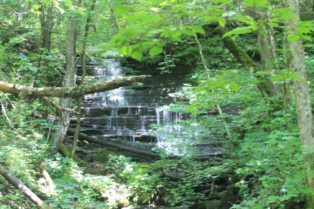
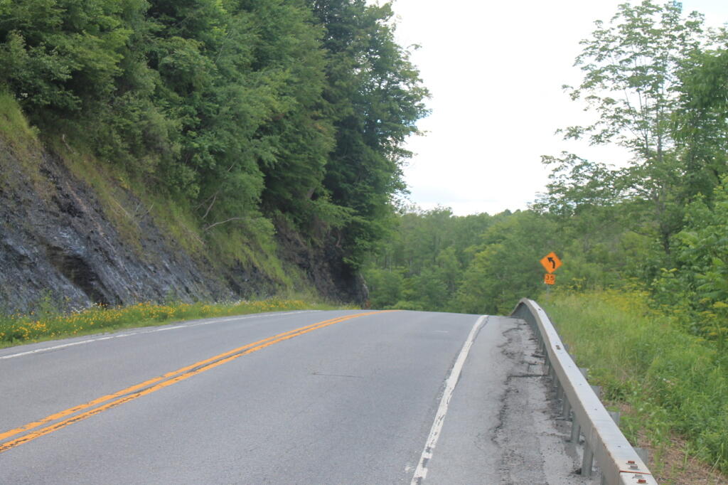
Black River-Trenton Shale Along Road Andy | July 2, 2025 Sunday June 30, 2013 — Pixley Falls State Park
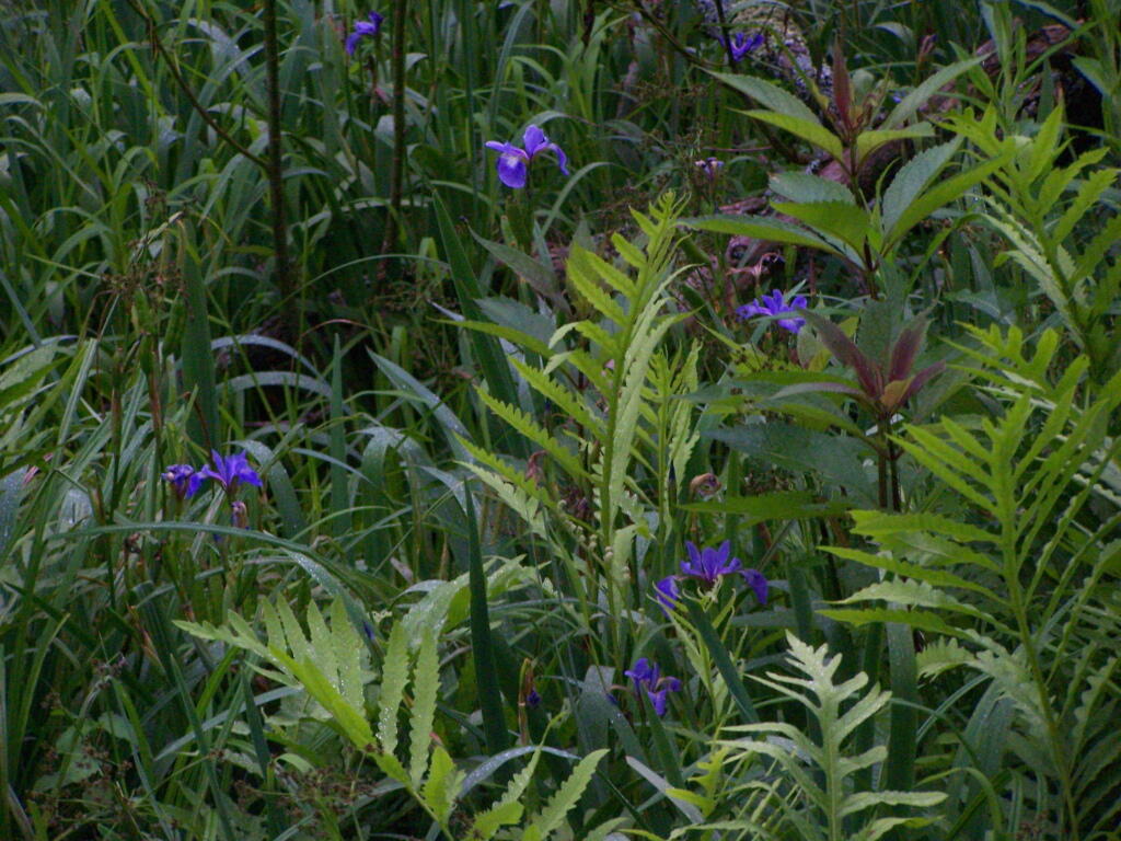
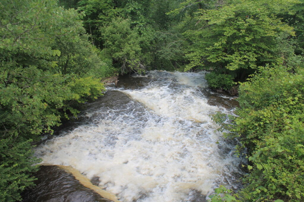
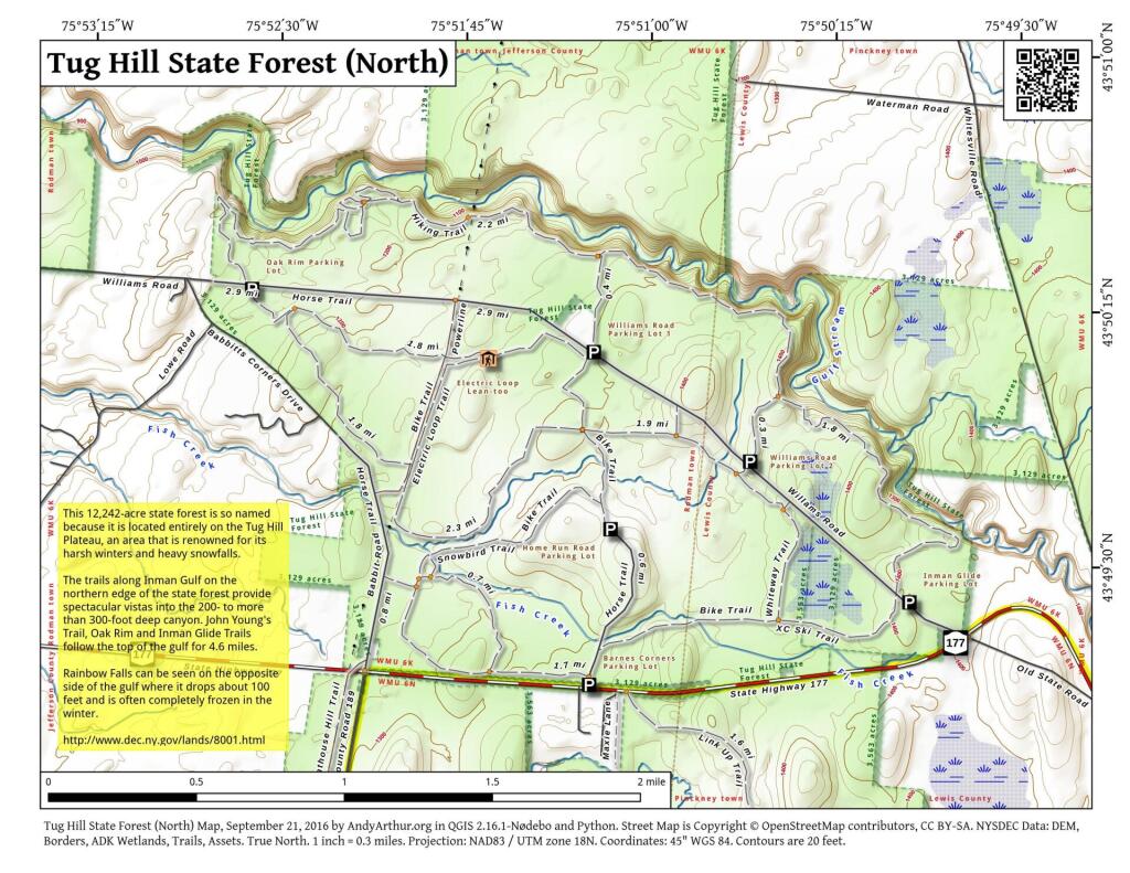
Lillies Along the Trail Andy | June 21, 2025 Wednesday June 29, 2011 — Tug Hill State Forest — Tug Hill State Forest (Inman Gulf Area) 🗺 — Tug Hill State Forest (North) 🗺— PDF with All Maps 📚