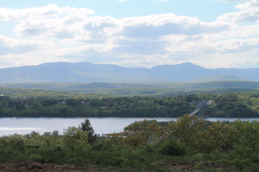
Hazy but the Mountains Are Sure Getting Green

According to state tax records, Griswold Heights was constructed around 1950. By 1952, most of the projects were done and as you can see from the 1952 aerial, few things have change in Griswold Heights in the past 70 years.

NY 2 winds and winds with it's broken surface up and over the Taconic Crest outside of Petersburgh, passing this neatly panited rural homestead.
Thursday April 30, 2020 — Taconics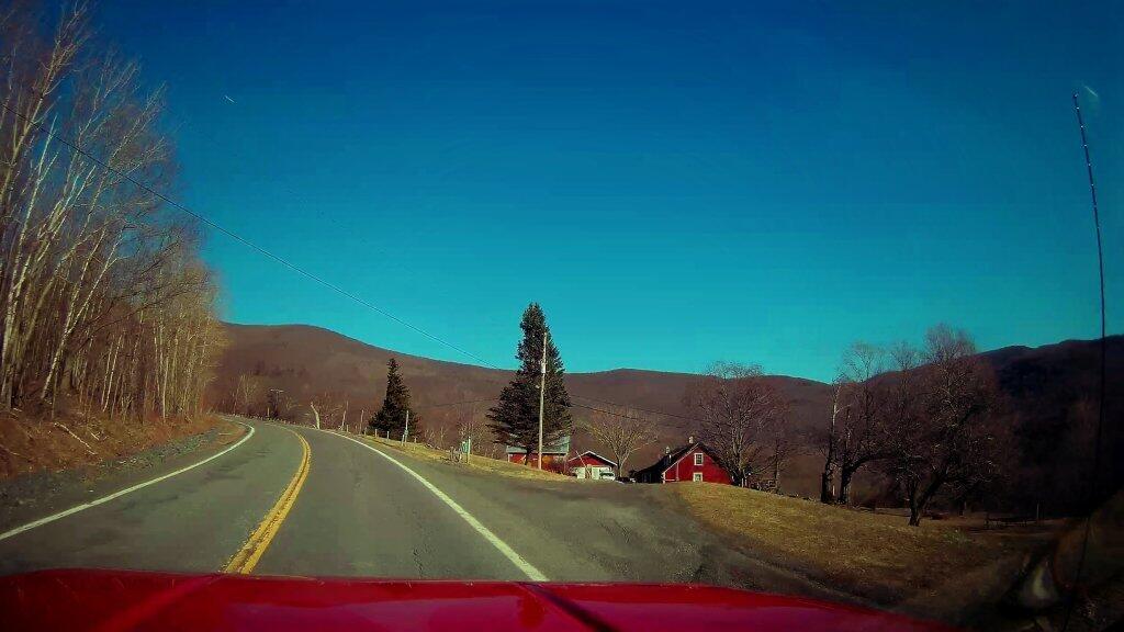

Parts of NY 2 and NY 43 in Rensselear County are in awful rough shape.
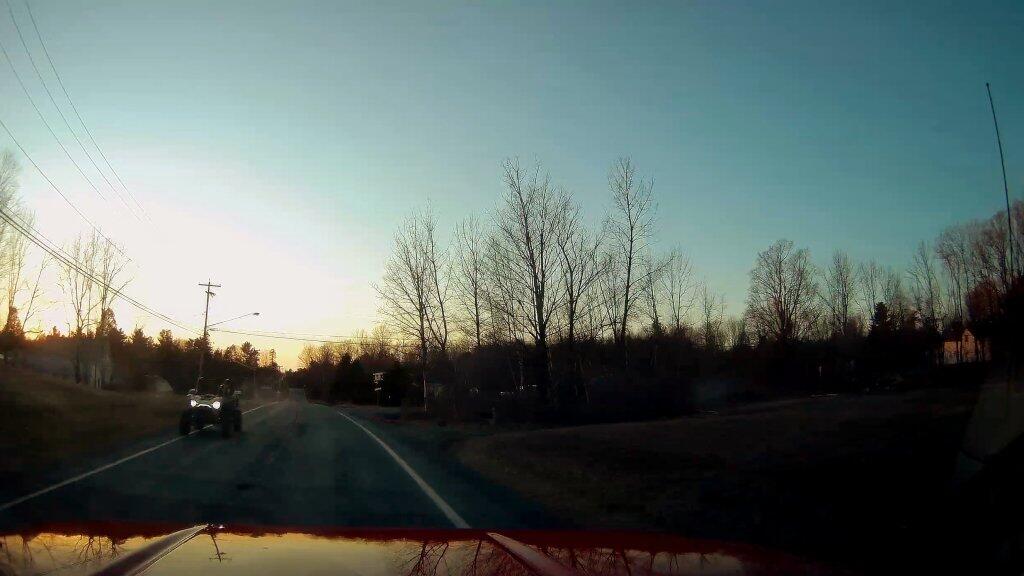
Friday May 1, 2020 — Taconics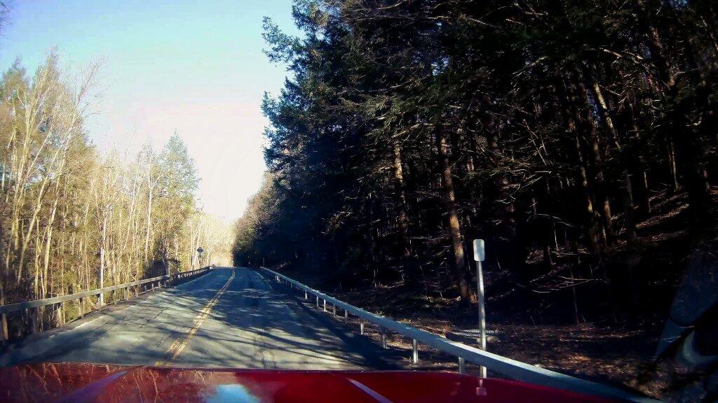

A couple ride past on a UTV on the narrow shoulder of NY 43 as I head through Averal Park in rural Rensselaer County.
Thursday April 30, 2020 — Taconics