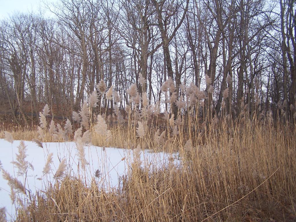
Ponds Edge Andy | December 23, 2024 Saturday December 11, 2010 — Olana — Olana Historic Site 🗺 — Rogers Island Wildlife Management Area 🗺— PDF with All Maps 📚
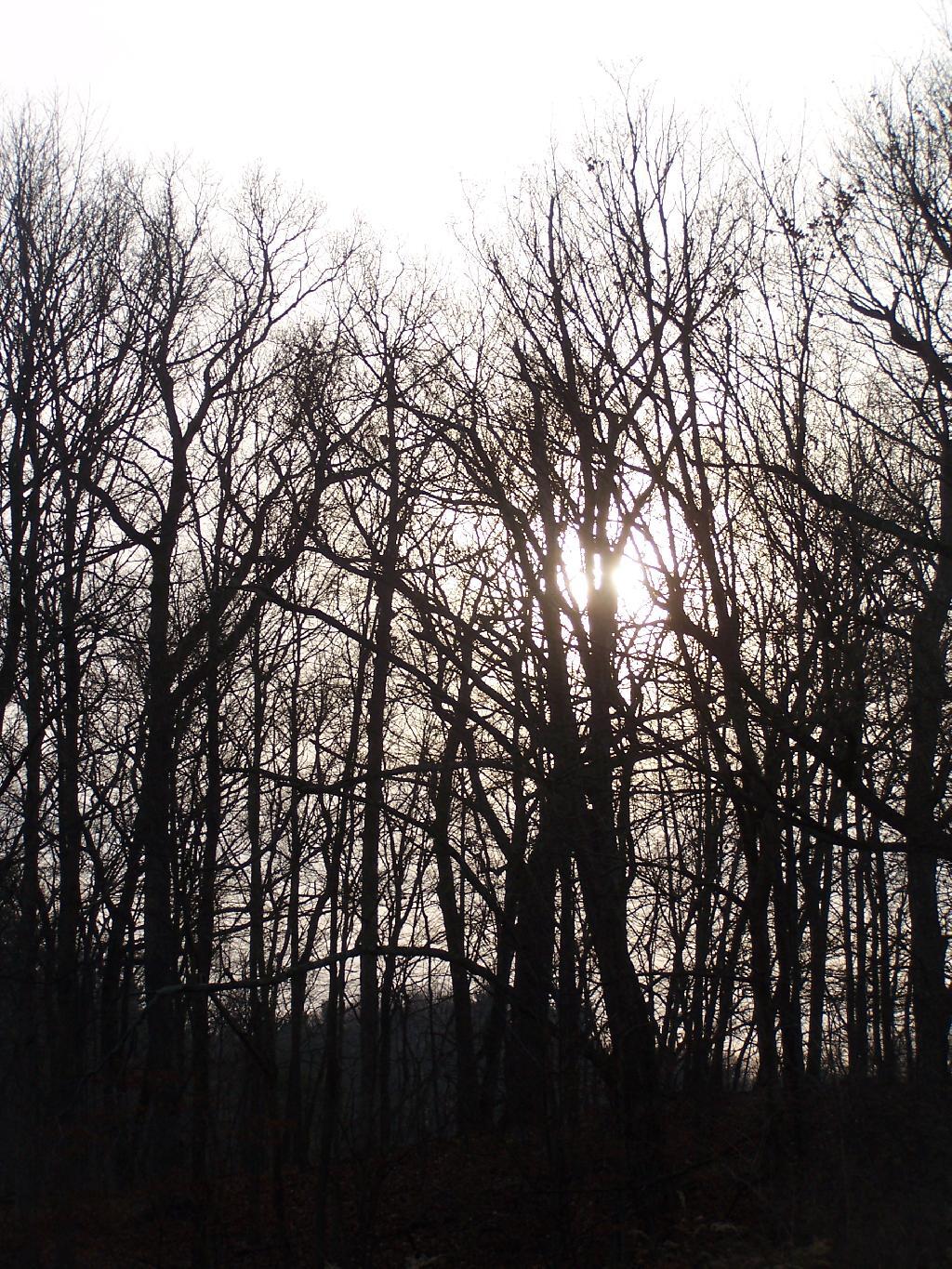
Sun Setting on Tree Andy | December 9, 2024 Saturday December 11, 2010 — Olana — Olana Historic Site 🗺 — Rogers Island Wildlife Management Area 🗺— PDF with All Maps 📚
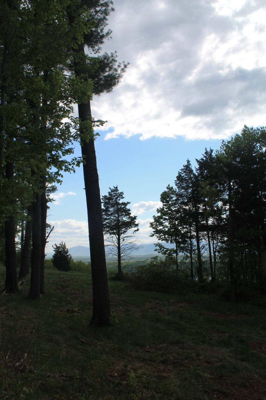
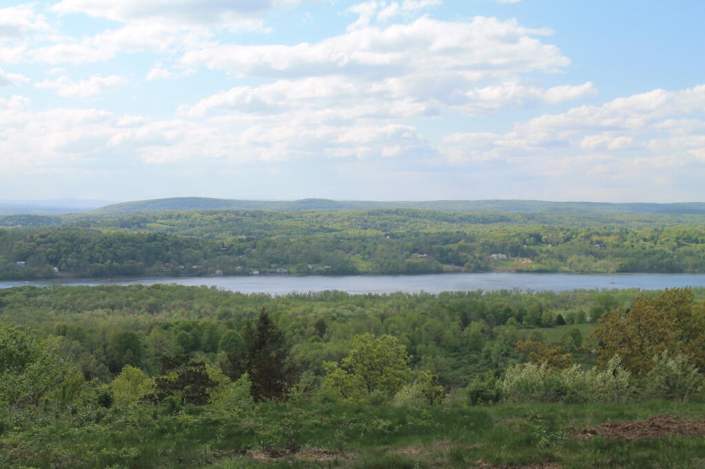
Trees Under the Clouds Andy | May 11, 2024 Sunday May 12, 2013 — Olana — Olana Historic Site 🗺 — Rogers Island Wildlife Management Area 🗺— PDF with All Maps 📚
Blue on Green Andy | May 7, 2024 Sunday May 12, 2013 — Olana — Olana Historic Site 🗺 — Rogers Island Wildlife Management Area 🗺— PDF with All Maps 📚
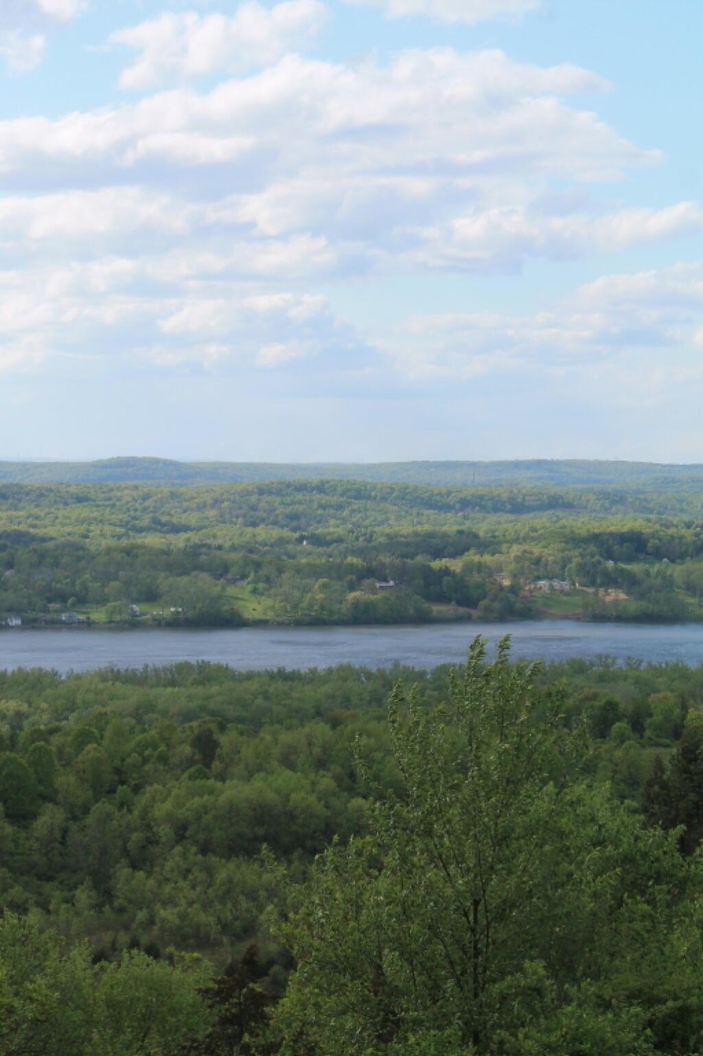
Along the Hudson River Andy | May 6, 2024 Sunday May 12, 2013 — Olana — Olana Historic Site 🗺 — Rogers Island Wildlife Management Area 🗺— PDF with All Maps 📚