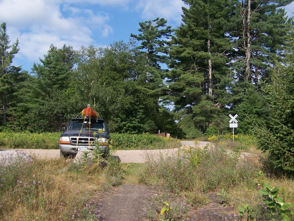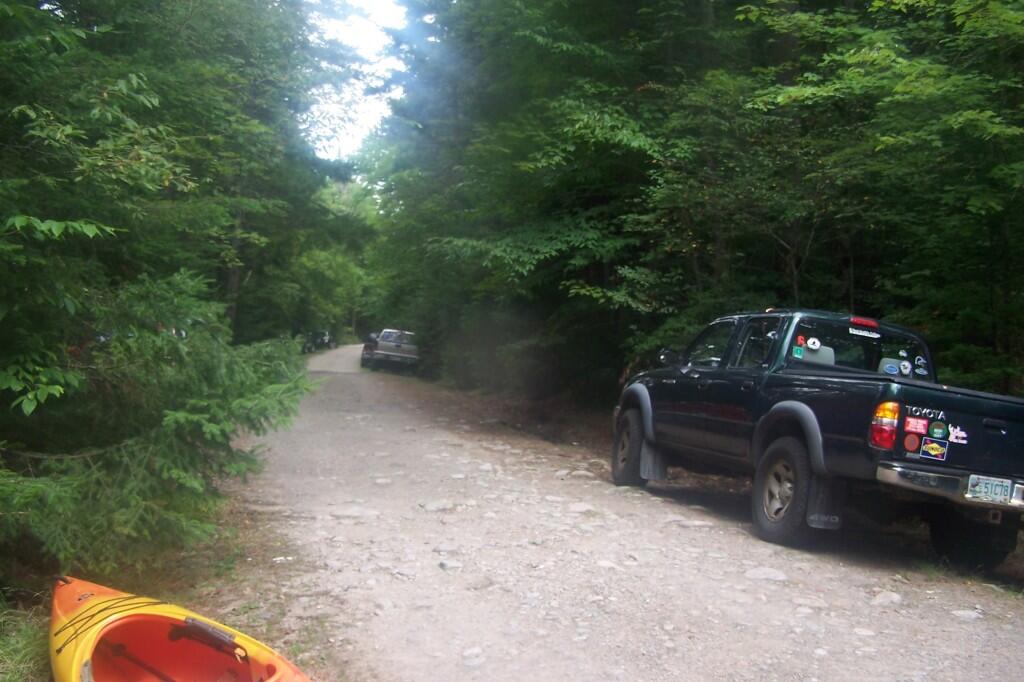
Bog River Flow Parking Area Nuts Like Usual


This is the channel above the Upper Lows Dam, which technically is Lows Lake now. About a mile up from here, the lake gets shallow, and you must portage up into the more open Lows Lake main section. Yes, the camera lens has beer in it, that now has to dry out before I can take any more pictures. Nothing until tomorrow. It's my Friday the 13th luck and stupidity of leaving the camera in the kayak, not in it's protective case, as I pull out, and spilled beer soaks everything.
Friday August 13, 2010 — Hitchens Pond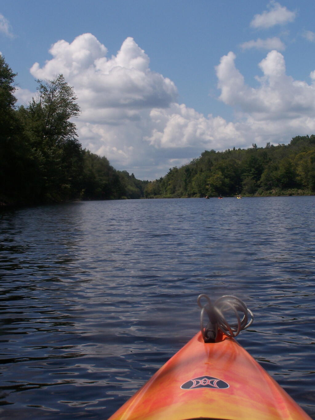

Here things open up quite bit.
Friday August 13, 2010 — Hitchens Pond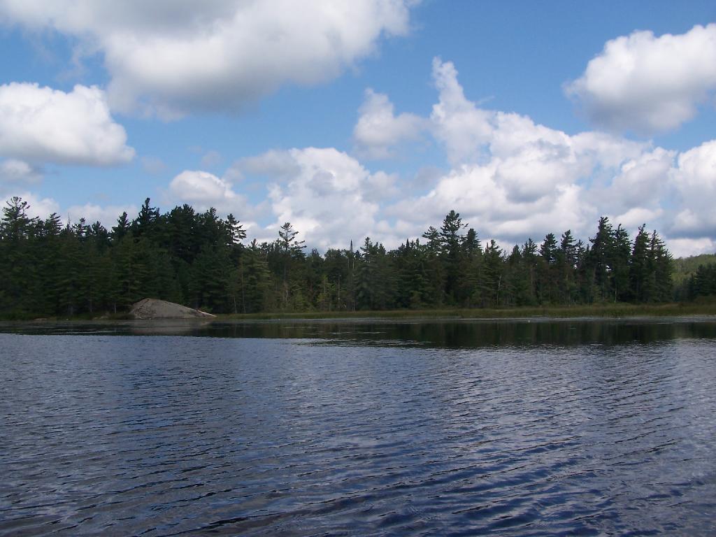

By no means was Campsite No 9 on the Unnamed Road, particularly fancy. But it provided a place to camp, and was a three minute drive down to the lake. I could have gotten a spot on Horseshoe Lake most likely had I arrived in the morning, as it seemed like campsites tended to clear out in the morning.
Friday August 13, 2010 — Horseshoe Lake — Horseshoe Lake 🗺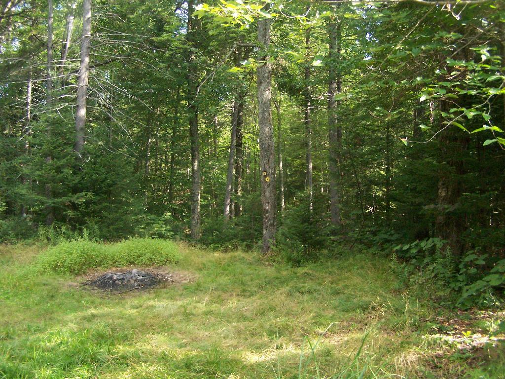

This is where the weird hair-pin turn appears on maps at the end of NY 421. I'm not sure why it follows this route, as the terrain is flat, but maybe at one time there was an inholding or private home located in here.
Friday August 13, 2010 — Horseshoe Lake — Horseshoe Lake 🗺