Horseshoe Lake 📍

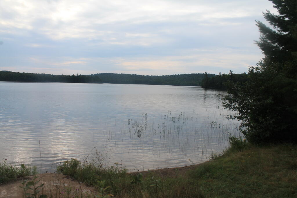
Horseshoe Lake in Franklin County, is located about 15 miles south west of Tupper Lake. There are 6 campsites along the lake, plus 4 others on roads nearby. Near the Hitchens Pond put-in for Lows Lake, a popular spot for camping and paddling.

🗺️ Maps 🖼️ Photos 📽️ Videos

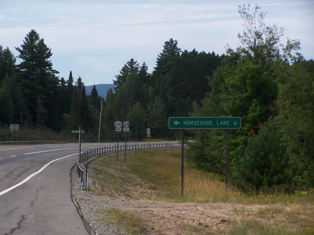
Six Miles to Horseshoe Lake

This is the turn off for NY 421, one of the strangest state highways in the state. It is a dead ended highway, that leads to gravel roads around Horseshoe Lake and Bog River Flow. It is very twisty and narrow, and portions have not been resurfaced in over 50 years.

Thursday August 12, 2010 — Horseshoe LakeHorseshoe Lake 🗺
Map: Battery Diagram
Map: Harris Hill State Forest

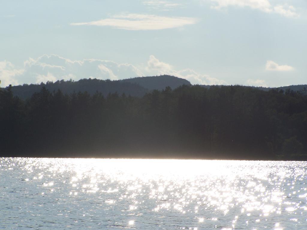
Glare

In the background rises Silver Lake Mountain, that beautiful ridge one sees most clearly from paddling around Hitchins Pond/Lows Lake in the Bog River Canoe Area.

Thursday August 12, 2010 — Horseshoe LakeHorseshoe Lake 🗺
3D Map: Spencer Crest Nature Center
Map: Sand Lake

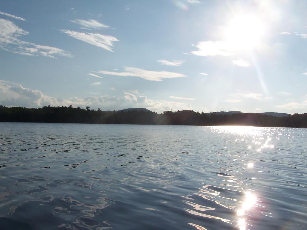
Blinding Sun

Heading West across the Lake, I was going directly in the path of sun at 7 PM. Even with sunglasses on, the sun was bright and painful, leading to a temporary sunblindness. I ended up tacking North-West then South-West to avoid the sun, and the choppiness of the water.

Thursday August 12, 2010 — Horseshoe LakeHorseshoe Lake 🗺
Map: Lester Flow