Paddling Along Mud River


Or at least that's what I am thinking.
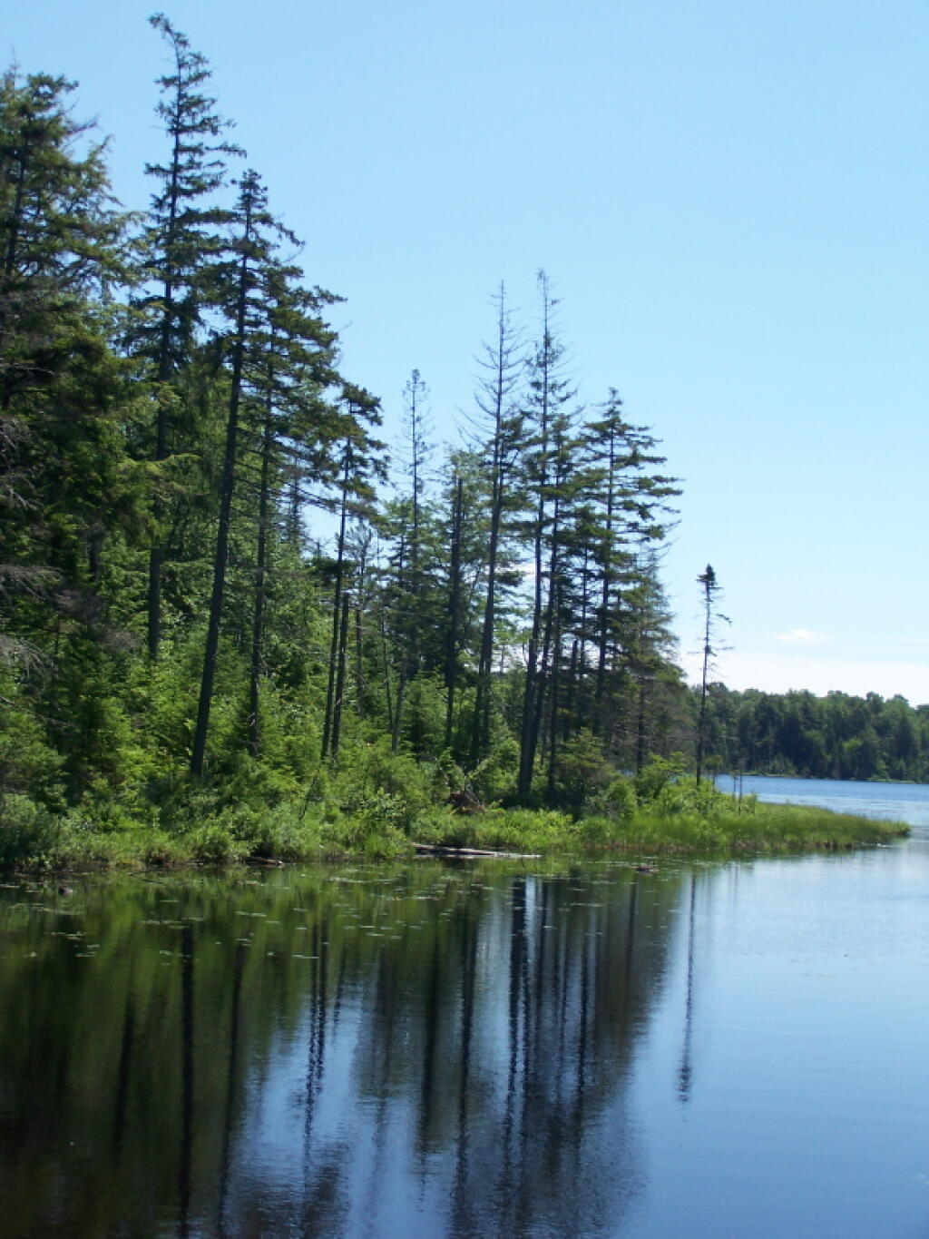
Thursday June 30, 2011 — Streeter Lake — Streeter Lake Road 🗺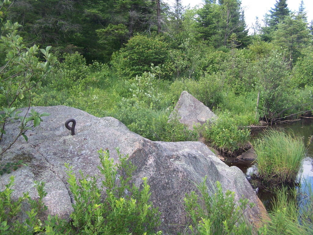

This is from the causeway at the end of Streeter Lake. Their a road that continues to a private in-holding from here, but the road is for the general public just walking from here.
Thursday June 30, 2011 — Streeter Lake — Streeter Lake Road 🗺