
Middleburgh Cliff 📍

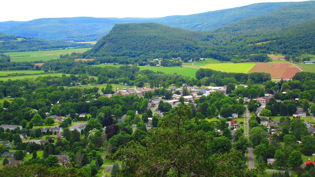
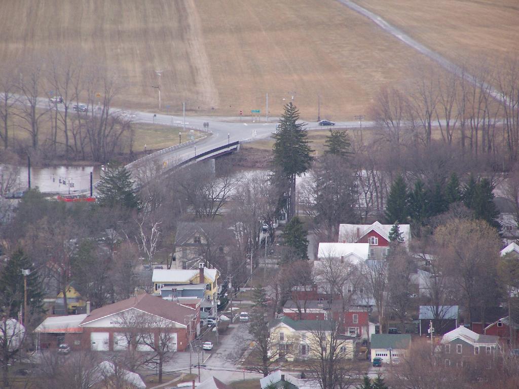
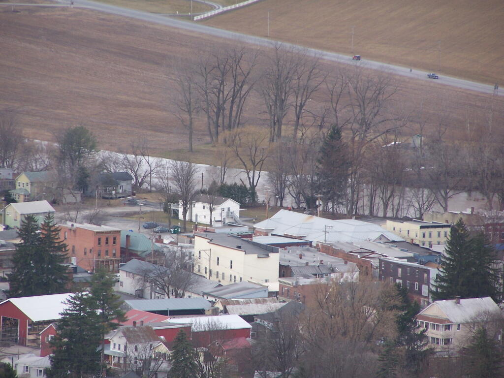
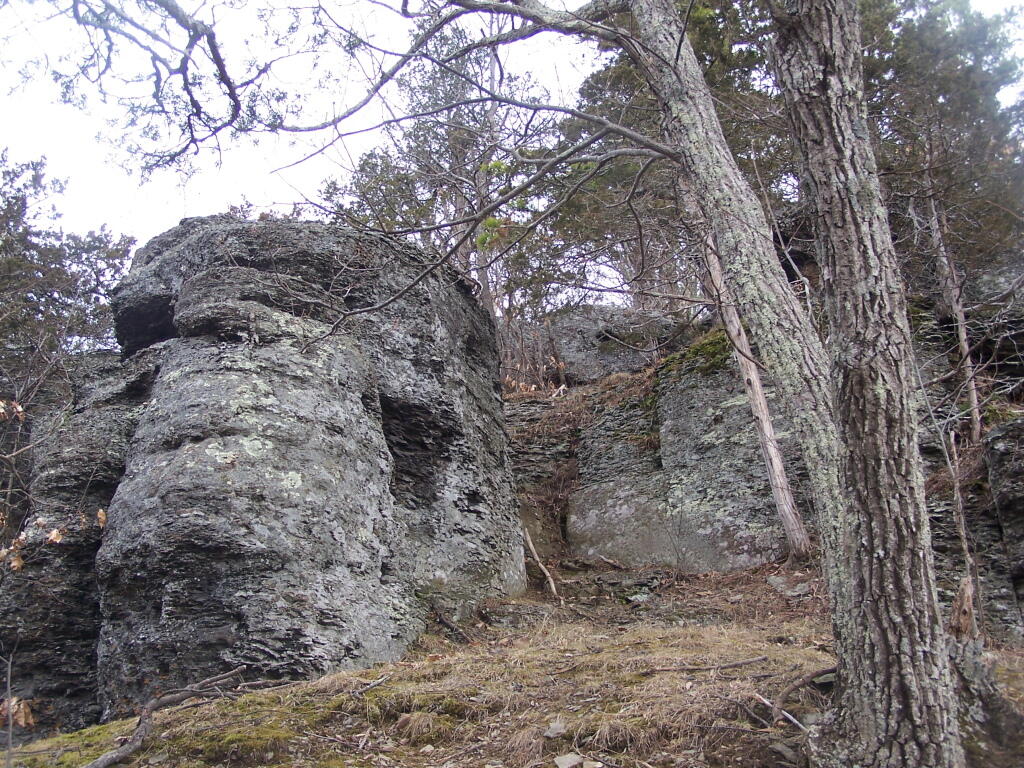
Directly to the East of Middleburgh there is a long narrow landform known as “The Cliff”. It’s a 500 foot high hill, with about 40 feet high cliffs, overlooking Middleburgh and Schoharie to the west. Cotton Hill sits above it to the east. While privately owned, the Long Path crosses it and you can use it to explore the cliffs.

🖼️ Photos
Map: Tug Hill State Forest (Inman Gulf Area)
Map: Applachian Region Of New York State
SVGZ Graphic: 25 Wealthiest Municipalities in New York State
Thematic Map: Agriculture in New York

Cliff of Middleberg

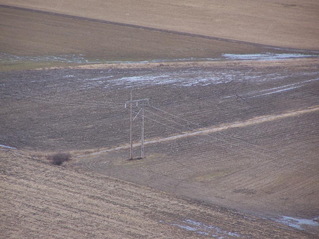
Now this isn't necessarily something you'd write to folks back home about, but once on top, there are some rather cool views.

Sunday March 21, 2010 — Middleburgh Cliff
Map: Severence Hill Trail